Clipperton Island, Coral atoll in Eastern Pacific Ocean, France
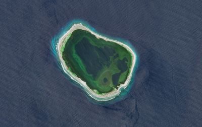
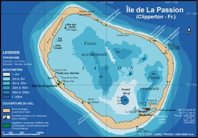
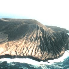
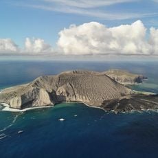
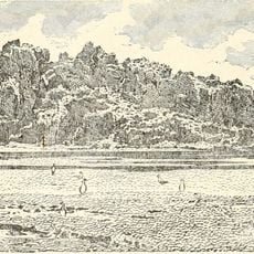
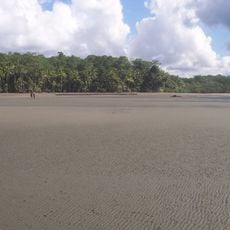
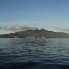
Clipperton Island is a ring-shaped coral atoll in the eastern Pacific Ocean belonging to France, enclosing a central lagoon. The landmass forms an almost complete circle with a single opening to the sea, while the terrain remains mostly flat with only slight rises in a few spots.
A French merchant claimed the atoll for France in 1711, but disputes with Mexico continued into the 20th century. A small Mexican garrison lived here during World War I, until the last survivors were rescued in 1917 and France regained control definitively.
The island takes its name from English pirate John Clipperton, who used it as a hideout in the early 18th century. Though uninhabited, the formation still bears his name while France administers it and scientific teams occasionally work there.
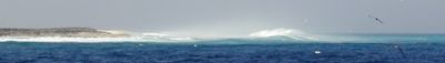
Visiting requires special authorization from French authorities, as the atoll is uninhabited and has no regular connections. Those who come here must travel by private vessel or scientific expedition and plan well ahead.
The lagoon contains water with high hydrogen sulfide levels, making it nearly impossible for most creatures to survive there. Only a few hardy species tolerate these extreme conditions, turning the lagoon into an unusual ecosystem.
The community of curious travelers
AroundUs brings together thousands of curated places, local tips, and hidden gems, enriched daily by 60,000 contributors worldwide.