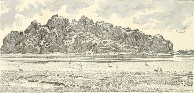
Clipperton Rock, Volcanic summit on Clipperton Island, France.
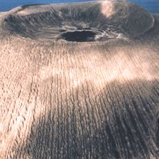
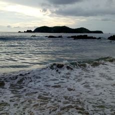
Clipperton Rock is a volcanic rock formation on Clipperton Island, a remote French territory in the central Pacific Ocean, rising about 29 meters above the water. The rock features multiple cavities and internal passages shaped by erosion over a very long period of time.
The rock is what remains of the ancient volcanic structure that first formed Clipperton Island, long before it became a coral atoll. Over time, the surrounding land eroded and sank, leaving this formation as the only visible trace of the original volcanic peak.
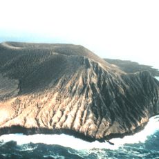
A geodetic marker placed by the French National Institute of Geographic Information sits on the rock surface, used as a reference point for precise location measurements in this part of the Pacific. This makes the rock one of the few fixed reference points in a very remote stretch of ocean.
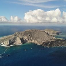
The island is rarely visited and reaching it requires official permission from French authorities. Once there, the terrain is rough and there are no facilities of any kind, so preparation for difficult outdoor conditions is essential.
Right next to the rock lies a circular hole called Trou-sans-fond, connected to a volcanic chimney system below and containing notably high concentrations of sulfur compounds. This makes the immediate surroundings of the rock chemically unlike almost any other place on the island.
The community of curious travelers
AroundUs brings together thousands of curated places, local tips, and hidden gems, enriched daily by 60,000 contributors worldwide.