Enable Location

We need your location to show you interesting places around you

Discover nearby places

Find interesting locations and hidden gems around you

Precise directions

Get accurate directions and distances to places

Your location is never shared with other users. It's only used when you tap the location button.

Playa la Ropa

Log in to your account

Start exploring — it's free

Trusted by travelers worldwide

Continue with Google
Continue with Apple
or

We will send you a code to connect

By continuing, you accept our Terms and Conditions and our Privacy Policy

Check your inbox

We've sent a pincode in your inbox. Please enter the code below.

Playa la Ropa

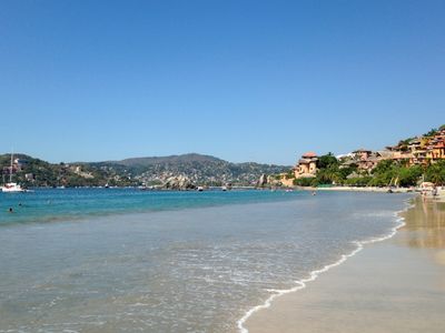
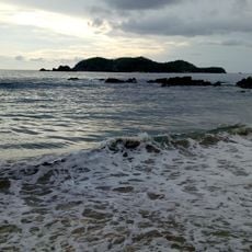
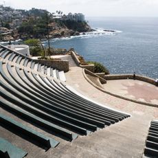
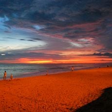
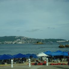
Playa la Ropa, Pacific coast beach in Zihuatanejo, Mexico.

Description

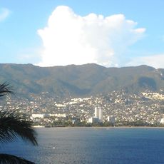
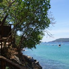
Playa la Ropa is a 1.5-kilometer (approximately 1 mile) sandy beach along the Pacific coast in Guerrero state, framed by palm groves and mountain ridges that rise behind the shore.

History

A Spanish merchant vessel carrying textiles sank offshore during the colonial period, causing fabrics to wash ashore and eventually naming the beach. This shipwreck story connects the place to centuries of maritime trade.

Culture

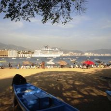
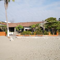
Fishermen still sell their catch fresh from the boats to the restaurants along the shore, a daily practice that shapes how locals and visitors experience the waterfront.

Practical

Water temperatures remain warm year-round between 75 and 85 degrees Fahrenheit (24-29 °C), making swimming comfortable at any time. The bay's natural shape creates sheltered areas that work well for visitors of all ages.

Did you know?

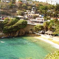
Ocean currents create natural swimming pools within the bay that function like protected water areas for both active play and leisure. These naturally formed zones give the beach a distinctive advantage for water-based activities.

GPS coordinates
17.62986,-101.54613
Latest update
January 25, 2026 17:44

AroundUs brings together thousands of curated places, local tips, and hidden gems, enriched daily by 60,000 contributors worldwide. Discover all places nearby (Zihuatanejo de Azueta Municipality).

Natural and historic sites across Guerrero state Mexico

Guerrero brings together Pacific coastline, colonial towns, and archaeological sites from pre-Hispanic civilizations. The landscape ranges from sandy beaches and offshore islands to cave systems and waterfalls in the mountainous interior of the Sierra Madre del Sur. Taxco displays baroque churches...

Hidden beaches in Mexico: wild swimming, fishing villages, secret coves

Mexico has beaches that stay away from the crowds of common tourist spots. They stretch from the sheltered bays of Quintana Roo, where sea turtles come to lay eggs, to the quiet coasts of Baja California Sur. These places keep their natural feel: clear waters, coral reefs filled with colorful fish,...

« Playa la Ropa - Pacific coast beach in Zihuatanejo, Mexico » is provided by Around Us (aroundus.com). Images and texts are derived from Wikimedia project under a Creative Commons license. You are allowed to copy, distribute, and modify copies of this page, under the conditions set by the license, as long as this note is clearly visible.

Discover hidden gems everywhere you go!

From secret cafés to breathtaking viewpoints, skip the crowded tourist spots and find places that match your style. Our app makes it easy with voice search, smart filtering, route optimization, and insider tips from travelers worldwide. Download now for the complete mobile experience.

Around Us App Screenshot

A unique approach to discovering new places

Le Figaro

All the places worth exploring

France Info

A tailor-made excursion in just a few clicks

20 Minutes

Around Us
Travel Guide & Maps
Download

Send to your phone

QR Code
1

Open the camera app on your mobile.

2

Point at the QR code with your camera. A notification will appear.

3

Tap the notification to open the link.