Enable Location

We need your location to show you interesting places around you

Discover nearby places

Find interesting locations and hidden gems around you

Precise directions

Get accurate directions and distances to places

Your location is never shared with other users. It's only used when you tap the location button.

Zihuatanejo de Azueta Municipality

Log in to your account

Start exploring — it's free

Trusted by 62,098 travelers worldwide

Continue with Google
Continue with Apple
or

We will send you a code to connect

By continuing, you accept our Terms and Conditions and our Privacy Policy

Check your inbox

We've sent a pincode in your inbox. Please enter the code below.

Zihuatanejo de Azueta Municipality

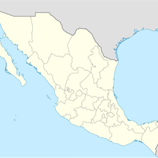
Zihuatanejo de Azueta Municipality, Coastal municipality in Guerrero, Mexico

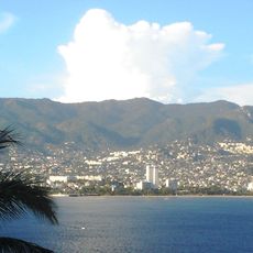
Zihuatanejo de Azueta Municipality spreads across the Pacific coast in Guerrero, incorporating the beach towns of Zihuatanejo and Ixtapa along with surrounding coastal areas. The territory combines natural bays, resort developments, and working fishing villages that remain central to the local economy.

The municipality was established in 1953 and originally took the name of José Azueta, a regional military hero. In 2008, the official name changed to Zihuatanejo de Azueta, bringing greater recognition to this historical figure.

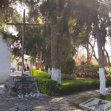
Fishing traditions shape daily life here, with wooden boats still working the local bays and fresh catches appearing daily in waterfront restaurants. The rhythm of the community follows the seasons and tides rather than modern tourism schedules.

The Ixtapa-Zihuatanejo International Airport offers direct connections to major Mexican cities and serves as the main entry point to the region. Road access throughout the municipality is well developed, making it easy to reach different neighborhoods and coastal areas.

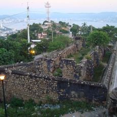
This was a small fishing village hideaway before tourism development arrived in the 1970s, and it remains remarkably undivided between working docks and resort beaches. The territory has managed to keep both identities operating side by side rather than replacing one with the other.

The community of curious travelers

AroundUs brings together thousands of curated places, local tips, and hidden gems, enriched daily by 60,000 contributors worldwide.

Start exploring
Location
Capital city
Zihuatanejo
Elevation above the sea
275 m
Address
Zihuatanejo, Guerrero, Mexico
GPS coordinates
17.82090,-101.43540
Latest update
December 14, 2025 20:23
« Zihuatanejo de Azueta Municipality - Coastal municipality in Guerrero, Mexico » is provided by Around Us (aroundus.com). Images and texts are derived from Wikimedia project under a Creative Commons license. You are allowed to copy, distribute, and modify copies of this page, under the conditions set by the license, as long as this note is clearly visible.

Discover hidden gems everywhere you go!

From secret cafés to breathtaking viewpoints, skip the crowded tourist spots and find places that match your style. Our app makes it easy with voice search, smart filtering, route optimization, and insider tips from travelers worldwide. Download now for the complete mobile experience.

Around Us App Screenshot

A unique approach to discovering new places

Le Figaro

All the places worth exploring

France Info

A tailor-made excursion in just a few clicks

20 Minutes

Around Us
Travel Guide & Maps
Download

Send to your phone

QR Code
1

Open the camera app on your mobile.

2

Point at the QR code with your camera. A notification will appear.

3

Tap the notification to open the link.