Guerrero, State with Pacific coastline in southwestern Mexico.
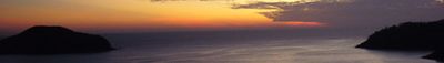
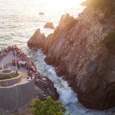
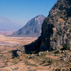
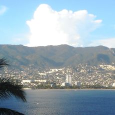
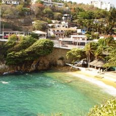
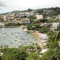
This state lies in southwestern Mexico with a Pacific coastline. The land includes mountain ranges of the Sierra Madre del Sur and river valleys near the ocean.
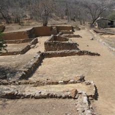
The region became a state in 1849 after a leader from the Mexican independence war. The name honors a figure who later served as president.
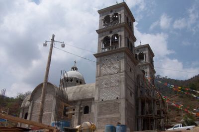
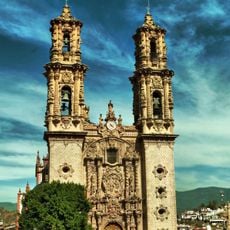
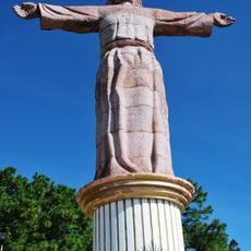
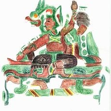
Local communities speak their own languages and celebrate traditional festivals in villages across the region. Markets display handmade textiles and pottery created using old techniques.
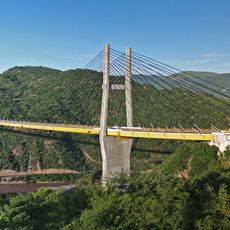
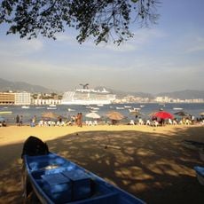
The capital Chilpancingo sits inland and connects to other parts of Mexico by road. Coastal towns are accessible along highways that run beside the Pacific.
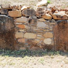
Mining operations extract six different minerals including silver, gold, copper, lead, antimony, and iron from deposits throughout the mountainous regions.
The community of curious travelers
AroundUs brings together thousands of curated places, local tips, and hidden gems, enriched daily by 60,000 contributors worldwide.