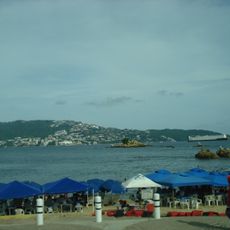
El Veladero National Park, National park in Acapulco, Mexico
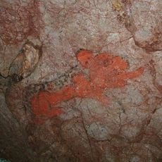
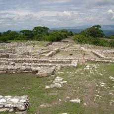
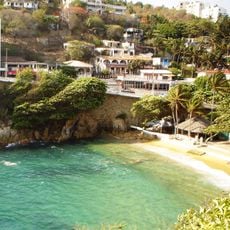
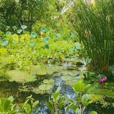
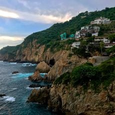
El Veladero National Park covers 3,159 hectares in the hills above Acapulco Bay, in the municipality of Acapulco de Juárez, Guerrero. Its vegetation is mainly medium semi-deciduous forest, with Quercus affinis and Quercus laurina oaks and areas of deciduous forest. The Palma Sola archaeological site, on the park's slopes in the Independencia neighbourhood, consists of eighteen granite rocks with petroglyphs.
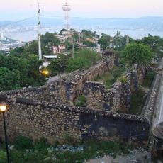
During the War of Independence, El Veladero was a headquarters and distribution point for José María Morelos's army, including Hermenegildo Galeana, between 1813 and 1814. Artillery pieces were built into fortifications, notably Fortín San Cristóbal, used to store ammunition. On the night of 5–6 May 1814, a royalist battalion under Captain Ocampo took the hill and burned the settlement. The national park was created by decree on 18 July 1980.
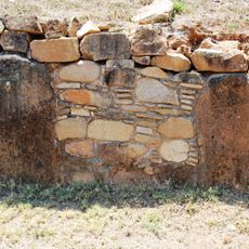
On the slopes of the park, in Acapulco's Colonia Independencia, the Palma Sola archaeological site consists of eighteen granite rocks with petroglyphs. The carvings are attributed to pre-Hispanic communities of the region, and visitors can see them in situ.
Since the 1980 decree no project has been implemented to facilitate or promote tourist access to this part of the park, so there are no marked trails or facilities to rely on. The upper slopes are reached from the Independencia neighbourhood of Acapulco, where the Palma Sola archaeological zone lies. Bring water and sun protection; the vegetation is a medium semi-deciduous forest.
The Palma Sola archaeological zone lies on the park's slopes in the Independencia neighbourhood of Acapulco: eighteen granite rocks covered with petroglyphs. Since the 1980 decree took effect, no project has been implemented to facilitate tourist access to this part of the park.
The community of curious travelers
AroundUs brings together thousands of curated places, local tips, and hidden gems, enriched daily by 92,784 contributors worldwide.