Grutas de Cacahuamilpa National Park

Log in to your account

AroundUs is a community-driven map of interesting places, built by curious explorers like you. It grows with every review, story, and photo you share.
Connect to save your favorite spots, contribute locations, and create personalized routes.
Continue with Google
Continue with Apple
Continue with X
Continue with Facebook
Continue with email
By continuing, you accept our Terms and Conditions and our Privacy Policy
Create an account

Grutas de Cacahuamilpa National Park

Add to collection
Map
Suggest a change
Share

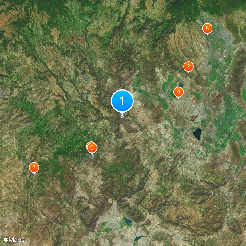
Grutas de Cacahuamilpa National Park, Cave system and national park in Guerrero, Mexico

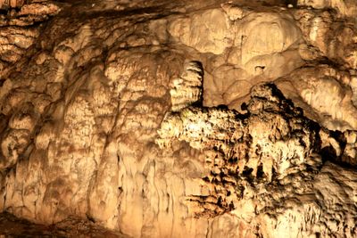
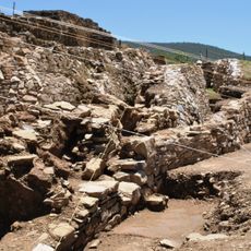
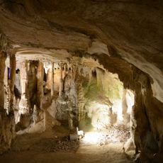
Grutas de Cacahuamilpa is a network of limestone passages in the state of Guerrero that runs for several kilometers underground. The corridors are wide enough to walk comfortably, and the chambers open into spaces with high ceilings where stalactites and stalagmites emerge from the darkness.

A surveyor named Manuel Saenz de la Peña came across the system in 1835 while mapping the surrounding territory. A century later, in 1936, the government declared the entire site a national park to protect the formation from damage.

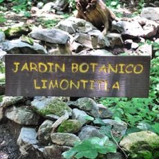
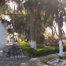
The name comes from Nahuatl and means "among the cacao trees," referring to the tropical plants that grow near the entrance. Today school groups and families from across the region visit to experience the underground rooms and hear their voices echo off the stone surfaces.

Guided tours run hourly from morning until afternoon and last about two hours, walking through lit sections of the network. The floor can be slippery in places, so solid shoes and a light jacket help with the cool temperature underground.

One of the larger chambers occasionally serves as a concert hall, where musicians take advantage of the natural acoustics inside the cave. Concert-goers sit on benches and listen as sound bounces back from the curved walls.

Location: Pilcaya Municipality

Location: Taxco de Alarcón

Inception: April 23, 1936

GPS coordinates: 18.66962,-99.50991

Latest update: December 17, 2025 07:56

Photos
Natural and historic sites across Guerrero state Mexico

Guerrero brings together Pacific coastline, colonial towns, and archaeological sites from pre-Hispanic civilizations. The landscape ranges from sandy beaches and offshore islands to cave systems and waterfalls in the mountainous interior of the Sierra Madre del Sur. Taxco displays baroque churches...

Reviews

Visited this place? Tap the stars to rate it and share your experience / photos with the community! Try now! You can cancel it anytime.

« Grutas de Cacahuamilpa National Park - Cave system and national park in Guerrero, Mexico » is provided by Around Us (aroundus.com). Images and texts are derived from Wikimedia project under a Creative Commons license. You are allowed to copy, distribute, and modify copies of this page, under the conditions set by the license, as long as this note is clearly visible.

Discover hidden gems everywhere you go!

From secret cafés to breathtaking viewpoints, skip the crowded tourist spots and find places that match your style. Our app makes it easy with voice search, smart filtering, route optimization, and insider tips from travelers worldwide. Download now for the complete mobile experience.

Around Us App Screenshot

A unique approach to discovering new places

Le Figaro

All the places worth exploring

France Info

A tailor-made excursion in just a few clicks

20 Minutes