Chest opened
+${chestReward.xp} XP
Explorer
NOUVEAU ×${chestReward.collectible.quantity}
tapez pour fermer
Chest locked

Open chests in the app

Around Us is built for your phone — chests unlock when you walk, explore and capture nearby places.

Enable Location

We need your location to show you interesting places around you

Discover nearby places

Find interesting locations and hidden gems around you

Precise directions

Get accurate directions and distances to places

Your location is never shared with other users. It's only used when you tap the location button.

Sylacauga

Log in to your account

Start exploring — it's free

Trusted by 72,891 travelers worldwide

Continue with Google
Continue with Apple
or

We will send you a code to connect

By continuing, you accept our Terms and Conditions and our Privacy Policy

Check your inbox

We've sent a pincode in your inbox. Please enter the code below.

Discussion Reviews 1 Photos
40.7k Popularity

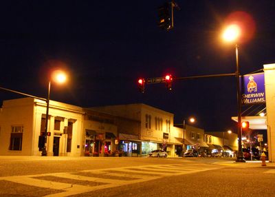
Sylacauga, Industrial city in Talladega County, Alabama, United States.

Sylacauga sits roughly 40 miles southeast of Birmingham at the edge of Talladega National Forest in Alabama. The town spreads across hilly terrain marked by quarries that have shaped its landscape for generations.

The settlement grew from a Creek Indian village called Chalakagay and was incorporated as Syllacoga in 1838, later renamed Sylacauga in 1887. Trade in local marble and stone became the region's primary economic driver beginning in the early 1900s.

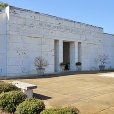
The Isabel Anderson Comer Museum displays geological exhibits about local marble deposits and presents works by regional artists year-round. The town has long identified itself through stone quarrying and craft traditions, which remain visible in the museum's collections today.

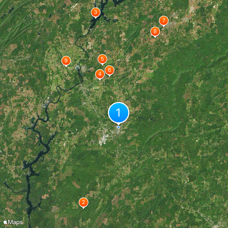
The town is accessible by car with local roads connecting quarries and residential areas throughout. The museum and main attractions are centrally located and reachable on foot or by vehicle.

On November 30, 1954, a meteorite punched through a house roof in Sylacauga and struck resident Ann Hodges. This remains the first recorded case of a person being hit by a space object.

The community of curious travelers

AroundUs brings together thousands of curated places, local tips, and hidden gems, enriched daily by 60,000 contributors worldwide.

Start exploring
Location
Elevation above the sea
166 m
GPS coordinates
33.17836,-86.25107
Latest update
December 17, 2025 08:31
Around this place
Pinhoti National Recreation Trail
United States of America

Pinhoti National Recreation Trail

24.3 km
Logan Martin Lake
United States of America

Logan Martin Lake

30.9 km
United States of America

DeSoto Caverns

14.2 km
Kymulga Mill & Covered Bridge
United States of America

Kymulga Mill & Covered Bridge

18 km
Desoto Caverns Family Fun Park
United States of America

Desoto Caverns Family Fun Park

14.5 km
Swayne Hall
United States of America

Swayne Hall

30.6 km
Thornhill
United States of America

Thornhill

26.9 km
Old Rock House
United States of America

Old Rock House

22.3 km
Orange Vale
United States of America

Orange Vale

21.5 km
B. B. Comer Memorial Library
United States of America

B. B. Comer Memorial Library

96 m
United States of America

Welch-Averiett House

13.4 km
Goodwin-Hamilton House
United States of America

Goodwin-Hamilton House

16.5 km
United States of America

Benjamin H. Averiett House

12.1 km
William Averiett House
United States of America

William Averiett House

14.7 km
United States of America

Alpine Bay Resort

29.3 km
United States of America

Glovers Point Park

26.3 km
United States of America

Rebecca Mountain

9.6 km
United States of America

Weogufka State Forest

23.8 km
United States of America

Stardom Theatre

580 m
United States of America

Railroad Lake

22.7 km
United States of America

Sherman Cliffs

18.4 km
Flag Mountain Lookout Tower
United States of America

Flag Mountain Lookout Tower

24.3 km
United States of America

Caudles Lake

13.5 km
United States of America

Hollins Wildlife Management Area

14.2 km
United States of America

Tallaseehatchee Creek Watershed N

7.3 km
United States of America

Coosa Pines Golf Club

20.2 km
United States of America

The Meadows Golf Course

21.3 km
United States of America

Statue, Work of art

18.9 km
Show the full map
Reviews
Share your experience

No review yet

Discussions
Start a discussion...

No discussion yet

« Sylacauga - Industrial city in Talladega County, Alabama, United States » is provided by Around Us (aroundus.com). Images and texts are derived from Wikimedia project under a Creative Commons license. You are allowed to copy, distribute, and modify copies of this page, under the conditions set by the license, as long as this note is clearly visible.

Discover hidden gems everywhere you go!

From secret cafés to breathtaking viewpoints, skip the crowded tourist spots and find places that match your style. Our app makes it easy with voice search, smart filtering, route optimization, and insider tips from travelers worldwide. Download now for the complete mobile experience.

Around Us App Screenshot

A unique approach to discovering new places

Le Figaro

All the places worth exploring

France Info

A tailor-made excursion in just a few clicks

20 Minutes

Around Us
Travel Guide & Maps
Download

Send to your phone

QR Code
1

Open the camera app on your mobile.

2

Point at the QR code with your camera. A notification will appear.

3

Tap the notification to open the link.