Talladega County

Log in to your account

AroundUs is a community-driven map of interesting places, built by curious explorers like you. It grows with every review, story, and photo you share.
Connect to save your favorite spots, contribute locations, and create personalized routes.
Continue with Google
Continue with Apple
Continue with X
Continue with Facebook
Continue with email
By continuing, you accept our Terms and Conditions and our Privacy Policy
Create an account
Add to collection
Map
Suggest a change
Share

Talladega County, County administrative division in Alabama, United States.

Talladega County is an administrative division in east central Alabama that combines urban centers with rural areas and extensive forest lands. The region is traversed by several waterways and features varied terrain with valleys and wooded sections.

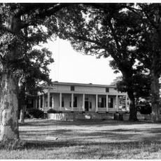
The area was established in 1832 following the cession of Creek Indian lands, with its name derived from the Muscogee language meaning 'Border Town'. During the 19th and 20th centuries, the region shifted from agricultural dependence toward a more diverse economy based on industry and trade.

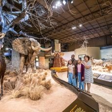
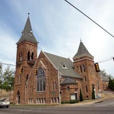
The Heritage Hall Museum displays local history through rotating exhibitions, while the Ritz Theater hosts performances and events for visitors. These places serve as gathering spots where people connect with the region's past and present cultural life.

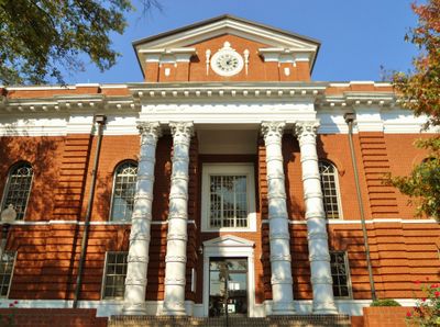
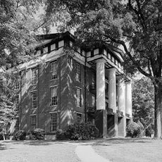
The County Courthouse serves as the main hub for government services including the Probate Court, tax administration, and driver license services. Visitors can find all essential administrative departments located in one central building.

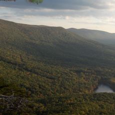
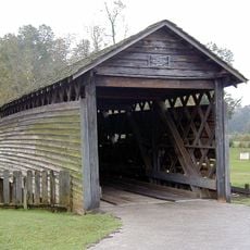
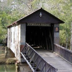
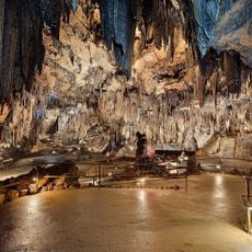
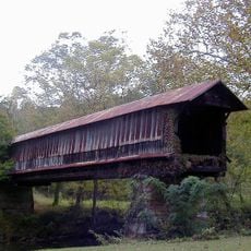
The Talladega National Forest spans the region and offers hiking trails, camping areas, and access to natural waterways like Choccolocco Creek. The woodlands serve as a major retreat for people seeking outdoor recreation and natural spaces.

Location: Alabama

Inception: December 18, 1832

Capital city: Talladega

Shares border with: Calhoun County, Coosa County, Shelby County, St. Clair County, Cleburne County, Clay County

Website: http://talladegacountyal.org

GPS coordinates: 33.38333,-86.16667

Latest update: December 20, 2025 13:09

Photos
Around this place
Talladega Superspeedway
United States of America

Talladega Superspeedway

22.5 km
Cheaha Mountain
United States of America

Cheaha Mountain

35.1 km
International Motorsports Hall of Fame
United States of America

International Motorsports Hall of Fame

23.4 km
Cheaha State Park
United States of America

Cheaha State Park

34.6 km
Logan Martin Lake
United States of America

Logan Martin Lake

16 km
United States of America

DeSoto Caverns

16.2 km
United States of America

Freedom Riders National Monument

36.9 km
United States of America

Cheaha Wilderness

30.9 km
United States of America

Silk Stocking District

8.3 km
Coldwater Covered Bridge
United States of America

Coldwater Covered Bridge

41 km
Kymulga Mill & Covered Bridge
United States of America

Kymulga Mill & Covered Bridge

13.5 km
Bunker Tower
United States of America

Bunker Tower

35.1 km
United States of America

Talladega Gran Prix Raceway

20.3 km
Anniston Museum of Natural History
United States of America

Anniston Museum of Natural History

47.4 km
J. L. M. Curry House
United States of America

J. L. M. Curry House

13.9 km
Desoto Caverns Family Fun Park
United States of America

Desoto Caverns Family Fun Park

13.4 km
Swayne Hall
United States of America

Swayne Hall

6.9 km
Waldo Covered Bridge
United States of America

Waldo Covered Bridge

12.8 km
Parker Memorial Baptist Church
United States of America

Parker Memorial Baptist Church

44.1 km
Thornhill
United States of America

Thornhill

3.1 km
Old Rock House
United States of America

Old Rock House

23.2 km
St. Michael and All Angels Episcopal Church
United States of America

St. Michael and All Angels Episcopal Church

43.5 km
Orange Vale
United States of America

Orange Vale

2.9 km
United States of America

Hugo Black House

33.8 km
Samuel Noble Monument
United States of America

Samuel Noble Monument

43.9 km
Grace Episcopal Church
United States of America

Grace Episcopal Church

44 km
Temple Beth-El
United States of America

Temple Beth-El

44.2 km
Saint Paul's Methodist Episcopal Church
United States of America

Saint Paul's Methodist Episcopal Church

44.3 km
Show the full map
Reviews

Visited this place? Tap the stars to rate it and share your experience / photos with the community! Try now! You can cancel it anytime.

« Talladega County - County administrative division in Alabama, United States » is provided by Around Us (aroundus.com). Images and texts are derived from Wikimedia project under a Creative Commons license. You are allowed to copy, distribute, and modify copies of this page, under the conditions set by the license, as long as this note is clearly visible.

Discover hidden gems everywhere you go!

From secret cafés to breathtaking viewpoints, skip the crowded tourist spots and find places that match your style. Our app makes it easy with voice search, smart filtering, route optimization, and insider tips from travelers worldwide. Download now for the complete mobile experience.

Around Us App Screenshot

A unique approach to discovering new places

Le Figaro

All the places worth exploring

France Info

A tailor-made excursion in just a few clicks

20 Minutes