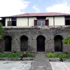
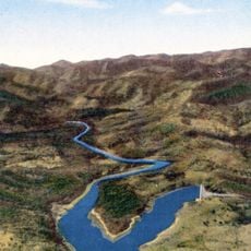
Sierra Maestra, Mountain range in Granma Province, Cuba.
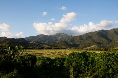
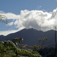
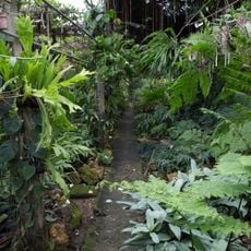
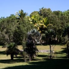
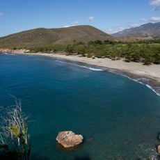
Sierra Maestra is a mountain range extending roughly 240 kilometers along southeastern Cuba, with Pico Turquino reaching about 1,974 meters as the highest point. The landscape features densely forested slopes, deep valleys, waterfalls, and scattered communities nestled among the peaks.
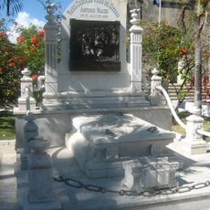
From 1956 to 1959, revolutionary forces led by Fidel Castro used these mountains as a base during their struggle against the Batista government. This period left a lasting mark on the region and shaped its historical identity.
Local communities grow coffee on the mountain slopes, a practice that shapes how the landscape looks today. This agricultural tradition remains central to daily life in the settlements scattered across the region.
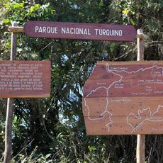
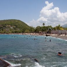
Several hiking trails connect different parts of the range, leading to waterfalls and remote areas; local guides are available in Santiago de Cuba and Granma provinces. Prepare for steep terrain and sudden weather changes by wearing proper footwear and checking conditions before setting out.
The range contains deposits of copper, manganese, chromium, and iron beneath its surface, making it economically important to Cuba. These mineral resources have been part of the region's development for generations.
The community of curious travelers
AroundUs brings together thousands of curated places, local tips, and hidden gems, enriched daily by 60,000 contributors worldwide.