Geography of the Bahamas, Archipelago of 700 islands in western Atlantic Ocean, Bahamas.
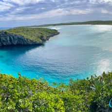
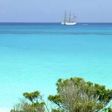
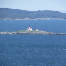
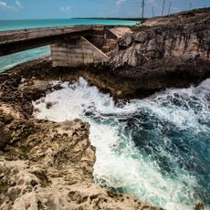
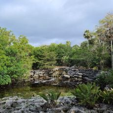
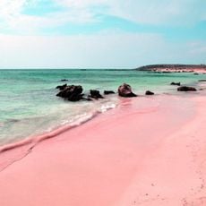
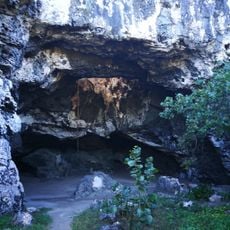
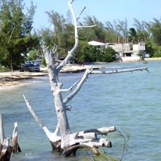
The Bahamas is an archipelago of about 700 islands in the western Atlantic, composed of limestone, coral reefs, and mangrove swamps. This island territory spreads across a vast ocean area with varied geological formations and coastal features.
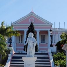
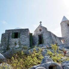
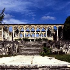
Christopher Columbus reached San Salvador in 1492, starting European exploration of the region. This arrival began colonization and later development of these island group.
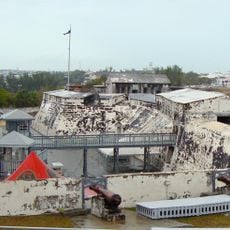
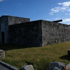
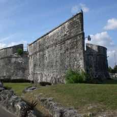
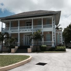
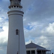
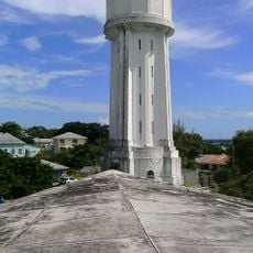
The islands shape daily life through fishing, boat building, and houses designed to withstand hurricanes and salt spray. These practices are visible throughout communities, where the ocean determines how people construct and work.
Only a few dozen of the many islands have permanent population, with most people living on the larger islands. Visitors should know that ferries connect islands and some areas are difficult to reach without planning.
The highest point of the entire island group reaches only about 200 feet (60 meters) above sea level on Cat Island. This low elevation means flat landscapes dominate almost everywhere, with the ocean shaping the visual horizon.
The community of curious travelers
AroundUs brings together thousands of curated places, local tips, and hidden gems, enriched daily by 60,000 contributors worldwide.