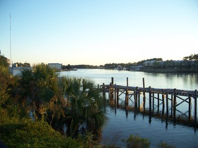
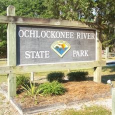
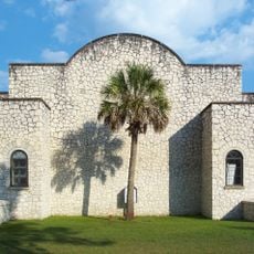
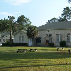
Carrabelle, city in Florida, United States
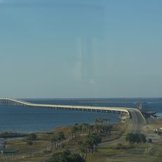
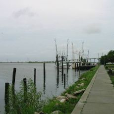
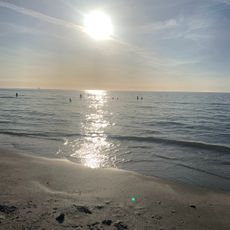
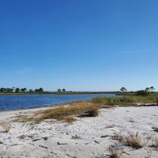
Carrabelle is a small city in Franklin County on Florida's Gulf Coast. It sits along a waterfront area with fishing operations, water-based recreation, and local shops and dining options.
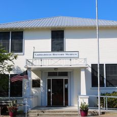
The town originated in the late 1800s as a fishing and trading post. It developed into a port centered on maritime activities that continue to shape its economic life today.
The best time to visit is fall through spring when the weather is mild. The area is easily accessible by car with parking available downtown and along the waterfront.
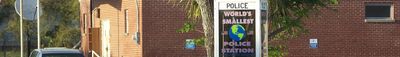
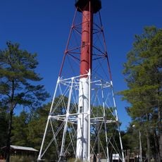
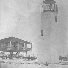
The town is known for its tiny water police station, a distinctive landmark on the water. This small building has become a symbol of the place's maritime identity.
The community of curious travelers
AroundUs brings together thousands of curated places, local tips, and hidden gems, enriched daily by 60,000 contributors worldwide.