Chest opened
+${chestReward.xp} XP
Explorer
NOUVEAU ×${chestReward.collectible.quantity}
tapez pour fermer

See the monuments around you in AR Open chests in the app

Around Us is built for your phone — point your camera at the streets and discover the monuments and places around you in augmented reality. Around Us is built for your phone — chests unlock when you walk, explore and capture nearby places.

Enable Location

We need your location to show you interesting places around you

Discover nearby places

Find interesting locations and hidden gems around you

Precise directions

Get accurate directions and distances to places

Your location is never shared with other users. It's only used when you tap the location button.

Draining and development of the Everglades

Log in to your account

Start exploring — it's free

Trusted by 85,974 travelers worldwide

Continue with Google
Continue with Apple
or

We will send you a code to connect

By continuing, you accept our Terms and Conditions and our Privacy Policy

Check your inbox

We've sent a pincode in your inbox. Please enter the code below.

Draining and development of the Everglades
Discussion Reviews 1 Photos
26.6k Popularity

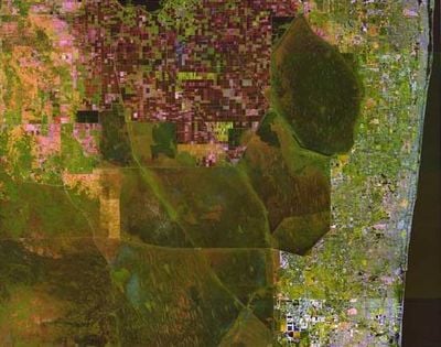
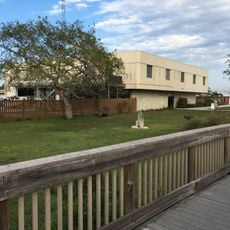
Draining and development of the Everglades, Land reclamation project in South Florida, US

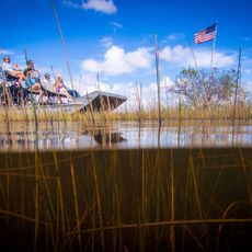
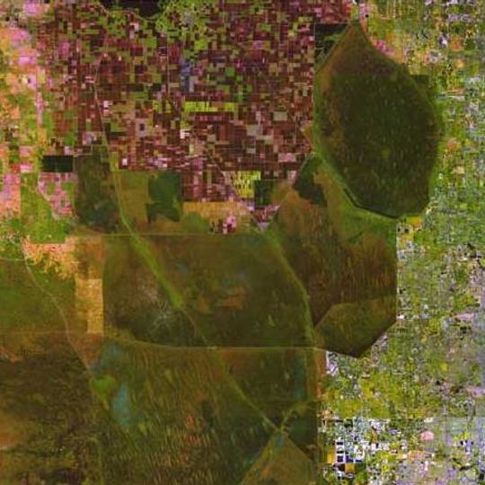
The Everglades drainage and development project converted extensive wetlands in South Florida through a system of canals, levees, and water-control structures. This network was engineered to make land available for agriculture and urban settlement across the region.

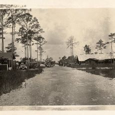
Large-scale drainage operations began in the early 1900s and systematically redirected water to transform South Florida's landscape. These efforts enabled the expansion of agriculture and urban centers that followed across the region.

Indigenous peoples including the Seminoles hunted and fished across these wetlands for generations before drainage projects began. The transformation disrupted their way of life and access to traditional food sources and territories.

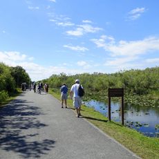
Visitors can observe the drainage effects in the altered landscape and water control structures throughout the area. It helps to explore the region during the dry season when water conditions and access routes are more stable.

The project reduced wading bird populations by roughly 90 percent, revealing the ecological consequences of this transformation. This dramatic shift in wildlife remains one of the most visible indicators of how drainage affected the entire region.

The community of curious travelers

AroundUs brings together thousands of curated places, local tips, and hidden gems, enriched daily by 60,000 contributors worldwide.

Start exploring
Location
GPS coordinates
26.00000,-80.70000
Latest update
September 12, 2026 00:47
Around this place
Amerant Bank Arena
United States of America

Amerant Bank Arena

25.7 mi
Pitbull Stadium
United States of America

Pitbull Stadium

26.4 mi
Trump National Doral Miami
United States of America

Trump National Doral Miami

25.5 mi
Hialeah Park Race Track
United States of America

Hialeah Park Race Track

28.3 mi
Frost Art Museum
United States of America

Frost Art Museum

26.5 mi
Amelia Earhart Park
United States of America

Amelia Earhart Park

27.4 mi
Flamingo Gardens
United States of America

Flamingo Gardens

24.6 mi
Brian Piccolo Park
United States of America

Brian Piccolo Park

26.7 mi
Fort Lauderdale Florida Temple
United States of America

Fort Lauderdale Florida Temple

22 mi
United States of America

Young at Art Museum

25.4 mi
Opa-locka Thematic Resource Area
United States of America

Opa-locka Thematic Resource Area

28.4 mi
Monroe Station
United States of America

Monroe Station

26.6 mi
Country Club Estates TR
United States of America

Country Club Estates TR

28.3 mi
Lua Curtiss House II
United States of America

Lua Curtiss House II

28.4 mi
Hequembourg House
United States of America

Hequembourg House

28.2 mi
G. Carl Adams House
United States of America

G. Carl Adams House

28.2 mi
Millard–McCarty House
United States of America

Millard–McCarty House

28.2 mi
Shark Valley Observation Tower
United States of America

Shark Valley Observation Tower

24.1 mi
Baird House
United States of America

Baird House

28.4 mi
Casa Long
United States of America

Casa Long

28.4 mi
Casa Helms
United States of America

Casa Helms

28.4 mi
Tooker House
United States of America

Tooker House

28.5 mi
Etheredge House
United States of America

Etheredge House

28.6 mi
Shark Valley Visitor Center
United States of America

Shark Valley Visitor Center

17.3 mi
Oasis Visitor Center
United States of America

Oasis Visitor Center

23 mi
Shark Valley Tram Road
United States of America

Shark Valley Tram Road

20.8 mi
Miramar Readiness Center
United States of America

Miramar Readiness Center

24.5 mi
Shark Valley Tower Trail
United States of America

Shark Valley Tower Trail

24.1 mi
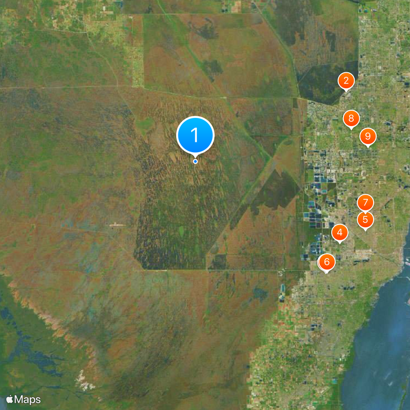
Show the full map
Reviews
Share your experience

No review yet

Discussions
Start a discussion...

No discussion yet

« Draining and development of the Everglades - Land reclamation project in South Florida, US » is provided by Around Us (aroundus.com). Images and texts are derived from Wikimedia project under a Creative Commons license. You are allowed to copy, distribute, and modify copies of this page, under the conditions set by the license, as long as this note is clearly visible.

Discover hidden gems everywhere you go!

From secret cafés to breathtaking viewpoints, skip the crowded tourist spots and find places that match your style. Our app makes it easy with voice search, smart filtering, route optimization, and insider tips from travelers worldwide. Download now for the complete mobile experience.

Around Us App Screenshot

A unique approach to discovering new places

Le Figaro

All the places worth exploring

France Info

A tailor-made excursion in just a few clicks

20 Minutes

Around Us
Travel Guide & Maps
Download

Send to your phone

QR Code
1

Open the camera app on your mobile.

2

Point at the QR code with your camera. A notification will appear.

3

Tap the notification to open the link.