Enable Location

We need your location to show you interesting places around you

Discover nearby places

Find interesting locations and hidden gems around you

Precise directions

Get accurate directions and distances to places

Your location is never shared with other users. It's only used when you tap the location button.

Playalinda Beach

Log in to your account

Start exploring — it's free

Trusted by 62,126 travelers worldwide

Continue with Google
Continue with Apple
or

We will send you a code to connect

By continuing, you accept our Terms and Conditions and our Privacy Policy

Check your inbox

We've sent a pincode in your inbox. Please enter the code below.

Playalinda Beach

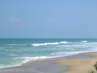
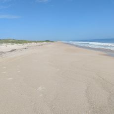
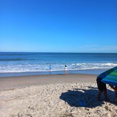
Playalinda Beach, Atlantic beach in Canaveral National Seashore, Florida.

Playalinda Beach is a sandy shore within Canaveral National Seashore, stretching across a natural coastline with undeveloped dunes and native plants. The water sits between the Atlantic Ocean and Mosquito Lagoon, creating a protected barrier island setting.

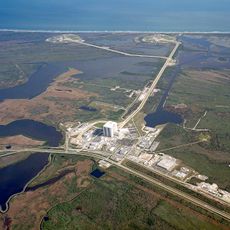
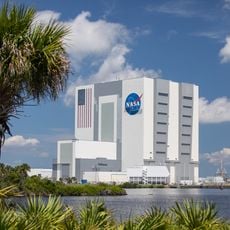
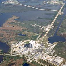
The land was originally set aside for NASA space launch facilities but was transferred to the National Park Service in 1975 for public use. Since then it has operated as a protected natural area open to visitors.

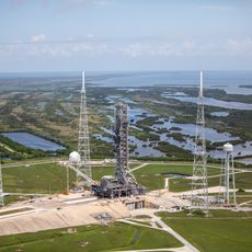
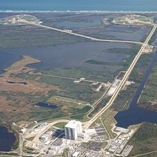
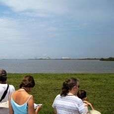
Surfers come here to ride the waves, and many visitors come to watch rocket launches from the nearby space center across the water.

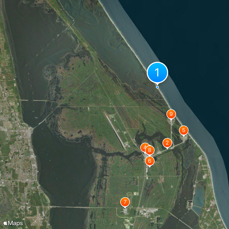
The beach is open to visitors every day, with parking areas spread throughout the seashore for easy access to different sections. Keep in mind that closures can happen without warning when space launches occur at the nearby facility.

One parking area on the southern end is informally known to attract those seeking a clothing-optional experience. It remains a rare opportunity along Florida's developed coast and draws a quiet, respectful group of visitors.

The community of curious travelers

AroundUs brings together thousands of curated places, local tips, and hidden gems, enriched daily by 60,000 contributors worldwide.

Start exploring
Location
Operator
Canaveral National Seashore
GPS coordinates
28.66470,-80.63920
Latest update
December 20, 2025 14:18
Around this place
Kennedy Space Center Launch Complex 39
United States of America

Kennedy Space Center Launch Complex 39

8 km
Vehicle Assembly Building
United States of America

Vehicle Assembly Building

8.8 km
Crawler-transporter
United States of America

Crawler-transporter

8.6 km
Kennedy Space Center Launch Complex 39A
United States of America

Kennedy Space Center Launch Complex 39A

7.1 km

Space Mirror Memorial
United States of America

Space Mirror Memorial

16.1 km
Rocco A. Petrone Launch Control Center
United States of America

Rocco A. Petrone Launch Control Center

8.9 km
Kennedy Space Center Launch Complex 39B
United States of America

Kennedy Space Center Launch Complex 39B

4.5 km
Operations and Checkout Building
United States of America

Operations and Checkout Building

15.7 km
Crawlerway
United States of America

Crawlerway

7.8 km
Space Shuttle Atlantis
United States of America

Space Shuttle Atlantis

16 km
A. Max Brewer Bridge
United States of America

A. Max Brewer Bridge

16.3 km
Launch Complex 39 Press Site
United States of America

Launch Complex 39 Press Site

9.2 km
Central Instrumentation Facility
United States of America

Central Instrumentation Facility

15.7 km
Pritchard House
United States of America

Pritchard House

17.5 km
John F. Kennedy Space Center MPS
United States of America

John F. Kennedy Space Center MPS

8.9 km
Titusville Commercial District
United States of America

Titusville Commercial District

17.4 km
Apollo / Saturn V Center
United States of America

Apollo / Saturn V Center

7.3 km
Judge George Robbins House
United States of America

Judge George Robbins House

17.5 km
Wager House
United States of America

Wager House

17.5 km
Jay-Jay Bridge
United States of America

Jay-Jay Bridge

16.4 km
Klondike Beach
United States of America

Klondike Beach

10.8 km
Conrad Creek
United States of America

Conrad Creek

10.2 km
City of Titusville Splash Park
United States of America

City of Titusville Splash Park

17.1 km
Titusville Beach
United States of America

Titusville Beach

9.2 km
Jack Davis Island
United States of America

Jack Davis Island

8.8 km
Puckett Creek
United States of America

Puckett Creek

14.2 km
Cow Pen Creek
United States of America

Cow Pen Creek

13.4 km
Show the full map
« Playalinda Beach - Atlantic beach in Canaveral National Seashore, Florida » is provided by Around Us (aroundus.com). Images and texts are derived from Wikimedia project under a Creative Commons license. You are allowed to copy, distribute, and modify copies of this page, under the conditions set by the license, as long as this note is clearly visible.

Discover hidden gems everywhere you go!

From secret cafés to breathtaking viewpoints, skip the crowded tourist spots and find places that match your style. Our app makes it easy with voice search, smart filtering, route optimization, and insider tips from travelers worldwide. Download now for the complete mobile experience.

Around Us App Screenshot

A unique approach to discovering new places

Le Figaro

All the places worth exploring

France Info

A tailor-made excursion in just a few clicks

20 Minutes

Around Us
Travel Guide & Maps
Download

Send to your phone

QR Code
1

Open the camera app on your mobile.

2

Point at the QR code with your camera. A notification will appear.

3

Tap the notification to open the link.