Enable Location

We need your location to show you interesting places around you

Discover nearby places

Find interesting locations and hidden gems around you

Precise directions

Get accurate directions and distances to places

Your location is never shared with other users. It's only used when you tap the location button.

Dougherty County

Log in to your account

Save your favorite places
Create custom travel routes
Rate and review places
Access the full interactive map
Continue with Google
Continue with Apple
Continue with email
By continuing, you accept our Terms and Conditions and our Privacy Policy
Create an account
Add to collection
Map
Suggest a change
Share

Dougherty County, Administrative county in Georgia, United States

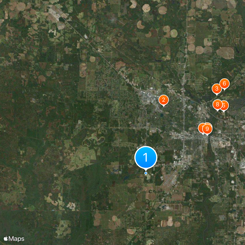
Dougherty County is an administrative division in Georgia that encompasses multiple cities and towns across its boundaries. The area includes residential neighborhoods, commercial centers, and agricultural land interspersed throughout.

The county was established in 1853 and named after Charles Dougherty, a figure from the area's early settlement period. Since then, the region has transformed from a purely agricultural landscape into a diverse administrative area.

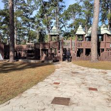
The county organizes regular community gatherings, local markets, and educational programs that bring together residents from different neighborhoods throughout the year.

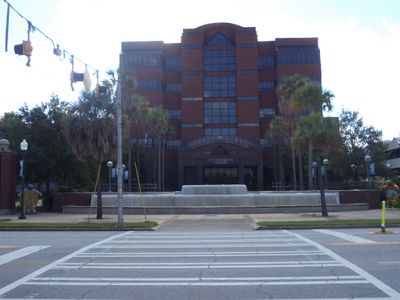
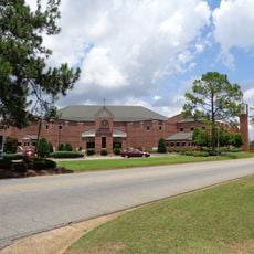
Administrative offices throughout the county provide essential public services such as vehicle registration and park management for residents. Visiting these facilities during standard business hours with appropriate documentation ensures efficient access to services.

Dougherty County maintains a specialized stormwater management system within the Flint River Basin, protecting local water resources through advanced environmental protocols.

Location: Georgia

Inception: December 15, 1853

Capital city: Albany

Shares border with: Lee County, Baker County, Mitchell County, Worth County, Terrell County, Calhoun County

Website: https://dougherty.ga.us

GPS coordinates: 31.54000,-84.22000

Latest update: December 20, 2025 14:07

Photos
Around this place
Sherwood Baptist Church
United States of America

Sherwood Baptist Church

7.7 km
Chehaw Park
United States of America

Chehaw Park

11.6 km
Flint RiverQuarium
United States of America

Flint RiverQuarium

8 km
United States of America

Paul Eames Sports Complex

10.9 km
Confederate Memorial Park
United States of America

Confederate Memorial Park

12.6 km
Albany Municipal Auditorium
United States of America

Albany Municipal Auditorium

7.6 km
United States of America

Lake Chehaw

10.5 km
Bridge House
United States of America

Bridge House

7.9 km
Heritage Plaza
United States of America

Heritage Plaza

8.1 km
United States of America

Albany Museum of Art

5.2 km
Rosenberg Brothers Department Store
United States of America

Rosenberg Brothers Department Store

7.8 km
Old St. Teresa Catholic Church
United States of America

Old St. Teresa Catholic Church

7.8 km
United States Post Office and Courthouse
United States of America

United States Post Office and Courthouse

7.4 km
United States of America

Thronateeska Heritage Center

8.1 km
New Albany Hotel
United States of America

New Albany Hotel

7.6 km
Samuel Farkas House
United States of America

Samuel Farkas House

7.4 km
John A. Davis House
United States of America

John A. Davis House

7.1 km
Albany Theatre
United States of America

Albany Theatre

7.5 km
St. Nicholas Hotel
United States of America

St. Nicholas Hotel

7.9 km
Davis-Exchange Bank Building
United States of America

Davis-Exchange Bank Building

7.7 km
United States of America

Wetherbee Planetarium

8.1 km
United States of America

Thronateeska History Museum

8.1 km
United States of America

Albany Lake

17.9 km
United States of America

Thronateeska Science Museum

8.1 km
State Theatre
United States of America

State Theatre

7.5 km
United States of America

Georgia Museum of Surveying and Mapping

8.1 km
United States of America

Liberty Theatre

7.5 km
United States of America

Albany Railroad Depot Historic District

9.5 km
Show the full map
Reviews

Visited this place? Tap the stars to rate it and share your experience / photos with the community! Try now! You can cancel it anytime.

« Dougherty County - Administrative county in Georgia, United States » is provided by Around Us (aroundus.com). Images and texts are derived from Wikimedia project under a Creative Commons license. You are allowed to copy, distribute, and modify copies of this page, under the conditions set by the license, as long as this note is clearly visible.

Discover hidden gems everywhere you go!

From secret cafés to breathtaking viewpoints, skip the crowded tourist spots and find places that match your style. Our app makes it easy with voice search, smart filtering, route optimization, and insider tips from travelers worldwide. Download now for the complete mobile experience.

Around Us App Screenshot

A unique approach to discovering new places

Le Figaro

All the places worth exploring

France Info

A tailor-made excursion in just a few clicks

20 Minutes