Enable Location

We need your location to show you interesting places around you

Discover nearby places

Find interesting locations and hidden gems around you

Precise directions

Get accurate directions and distances to places

Your location is never shared with other users. It's only used when you tap the location button.

Charlton County

Log in to your account

Start exploring — it's free

Trusted by 63,640 travelers worldwide

Continue with Google
Continue with Apple
or

We will send you a code to connect

By continuing, you accept our Terms and Conditions and our Privacy Policy

Check your inbox

We've sent a pincode in your inbox. Please enter the code below.

Discussion Reviews 1 Photos
16.2k Popularity

Charlton County, Administrative division in southeastern Georgia, United States.

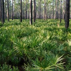
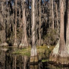
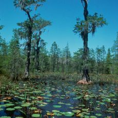
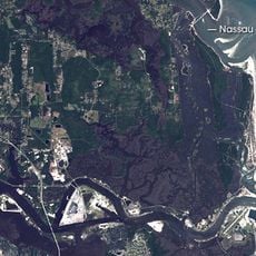
Charlton County is an administrative division in southeastern Georgia with widespread wetlands and forests as its primary landscape features. The Okefenokee Swamp spans a substantial portion of the territory and defines its ecology.

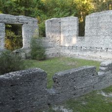
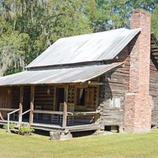
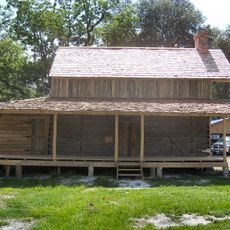
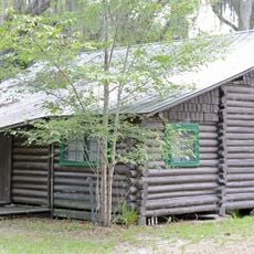
The territory was established in 1854 and named after Charles Stewart Maurice, an early settler who contributed to regional development. This founding marked the start of organized administration in this remote area.

The area reflects the presence of Native American communities who shaped the region over centuries, with their heritage visible in local sites and how people relate to the land. This connection remains part of how residents understand their place today.

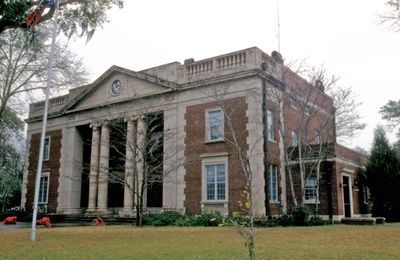
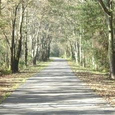
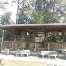
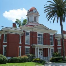
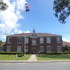
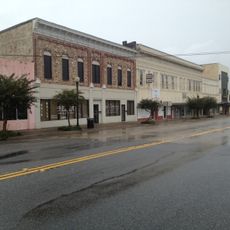
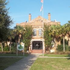
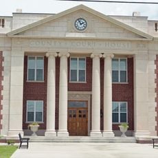
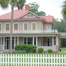
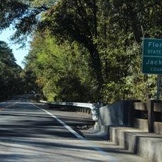
The county government operates from Folkston, where residents handle administrative matters such as taxes and permits. Visiting is easiest during drier seasons when road and wetland access conditions are more favorable.

The area contains an extraordinary range of plant and animal species, many rare and found only within protected zones of the swamp system. This biological diversity makes the region a critical refuge for species found nowhere else nearby.

The community of curious travelers

AroundUs brings together thousands of curated places, local tips, and hidden gems, enriched daily by 60,000 contributors worldwide.

Start exploring
GPS coordinates
30.87754,-82.11858
Latest update
December 7, 2025 19:27
Around this place
Osceola National Forest
United States of America

Osceola National Forest

68.2 km
Stephen C. Foster State Park
United States of America

Stephen C. Foster State Park

24.3 km
Jacksonville-Baldwin Rail Trail
United States of America

Jacksonville-Baldwin Rail Trail

67.8 km
Okefenokee Wilderness
United States of America

Okefenokee Wilderness

19.1 km
McIntosh Sugarworks
United States of America

McIntosh Sugarworks

52.4 km
Folkston Railfan Platform
United States of America

Folkston Railfan Platform

11.8 km
Orange Hall
United States of America

Orange Hall

57.2 km
Obediah Barber Homestead
United States of America

Obediah Barber Homestead

32.1 km
Old Baker County Courthouse
United States of America

Old Baker County Courthouse

66.5 km
First African Baptist Church and Parsonage
United States of America

First African Baptist Church and Parsonage

42.8 km
Brantley County Courthouse
United States of America

Brantley County Courthouse

38.5 km
Woodbine Historic District
United States of America

Woodbine Historic District

39 km
Downtown Waycross Historic District
United States of America

Downtown Waycross Historic District

43.6 km
Old Camden County Courthouse
United States of America

Old Camden County Courthouse

39.3 km
Glen Saint Mary Nurseries Company
United States of America

Glen Saint Mary Nurseries Company

69.7 km
Waycross Historic District
United States of America

Waycross Historic District

42.9 km
Burnsed Blockhouse
United States of America

Burnsed Blockhouse

66.6 km
Charlton County Courthouse
United States of America

Charlton County Courthouse

12 km
Lewis Mausoleum
United States of America

Lewis Mausoleum

68.5 km
Kingsland Commercial Historic District
United States of America

Kingsland Commercial Historic District

41.8 km
Machaba Balu Preserve
United States of America

Machaba Balu Preserve

58.1 km
John M. Hopkins Cabin
United States of America

John M. Hopkins Cabin

15.5 km
William Mizell, Sr., House
United States of America

William Mizell, Sr., House

11.7 km
Florida–Georgia border
United States of America

Florida–Georgia border

46.8 km
Heritage Park
United States of America

Heritage Park

66.7 km
The Selfie Showroom
United States of America

The Selfie Showroom

66.3 km
Cumberland Island National Seashore Museum
United States of America

Cumberland Island National Seashore Museum

57.2 km
St. Marys Submarine Museum
United States of America

St. Marys Submarine Museum

57.2 km
Show the full map
Reviews
Share your experience

No review yet

Discussions
Start a discussion...

No discussion yet

« Charlton County - Administrative division in southeastern Georgia, United States » is provided by Around Us (aroundus.com). Images and texts are derived from Wikimedia project under a Creative Commons license. You are allowed to copy, distribute, and modify copies of this page, under the conditions set by the license, as long as this note is clearly visible.

Discover hidden gems everywhere you go!

From secret cafés to breathtaking viewpoints, skip the crowded tourist spots and find places that match your style. Our app makes it easy with voice search, smart filtering, route optimization, and insider tips from travelers worldwide. Download now for the complete mobile experience.

Around Us App Screenshot

A unique approach to discovering new places

Le Figaro

All the places worth exploring

France Info

A tailor-made excursion in just a few clicks

20 Minutes

Around Us
Travel Guide & Maps
Download

Send to your phone

QR Code
1

Open the camera app on your mobile.

2

Point at the QR code with your camera. A notification will appear.

3

Tap the notification to open the link.