
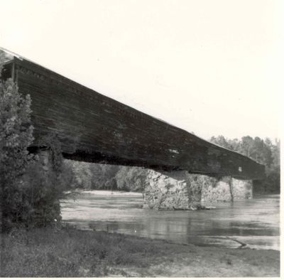
Miller Covered Bridge
Location: Tallapoosa County
GPS coordinates: 32.97674,-85.74058
Latest update: September 23, 2025 16:46
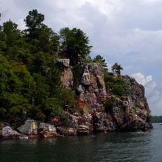
Lake Martin
27.8 km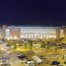
Neville Arena
47.7 km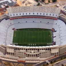
Jordan–Hare Stadium
47.9 km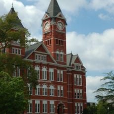
Samford Hall
47.9 km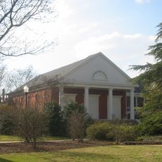
Langdon Hall
47.9 km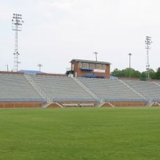
Duck Samford Stadium
49.2 km
Auburn University Chapel
48 km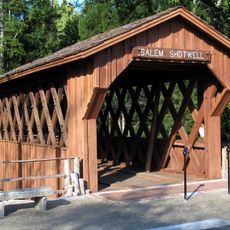
Salem-Shotwell Covered Bridge
48.8 km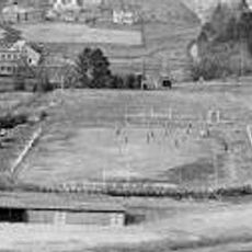
Drake Field
48 km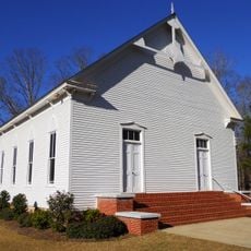
County Line Baptist Church
15.5 km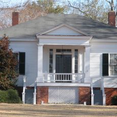
Pebble Hill
48.3 km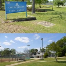
Felton Little Park
47.6 km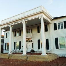
Cater Hall
48 km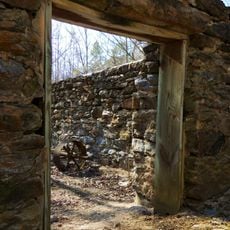
McCosh Grist Mill
49.4 km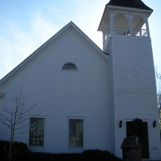
Ebenezer Missionary Baptist Church
48.5 km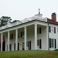
Russell Family Historic District
21 km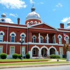
Chambers County Courthouse Square Historic District
32.9 km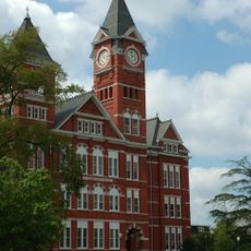
Auburn University Historic District
47.9 km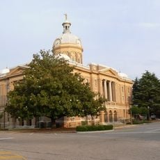
Clay County Courthouse
34.3 km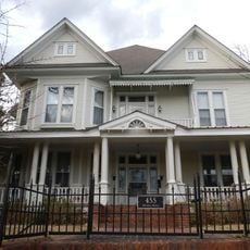
A.J. and Emma E. Thomas Coley House
19.7 km
Reuben Herzfeld House
19.6 km
Avondale Historic District
19.2 km
Roanoke Downtown Historic District
39.1 km
Robert Wilton Burton House
48 km
Ernest McCarty Oliver House
32.5 km
North Central Historic District
20.5 km
South Central Historic District
20.2 km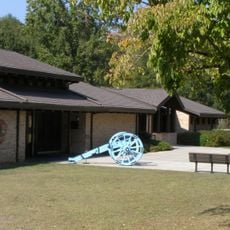
Horseshoe Bend National Military Park Visitor Center
787 mReviews
Visited this place? Tap the stars to rate it and share your experience / photos with the community! Try now! You can cancel it anytime.
Discover hidden gems everywhere you go!
From secret cafés to breathtaking viewpoints, skip the crowded tourist spots and find places that match your style. Our app makes it easy with voice search, smart filtering, route optimization, and insider tips from travelers worldwide. Download now for the complete mobile experience.

A unique approach to discovering new places❞
— Le Figaro
All the places worth exploring❞
— France Info
A tailor-made excursion in just a few clicks❞
— 20 Minutes