Bartow County

Log in to your account

AroundUs is a community-driven map of interesting places, built by curious explorers like you. It grows with every review, story, and photo you share.
Connect to save your favorite spots, contribute locations, and create personalized routes.
Continue with Google
Continue with Apple
Continue with X
Continue with Facebook
Continue with email
By continuing, you accept our Terms and Conditions and our Privacy Policy
Create an account
Add to collection
Map
Suggest a change
Share

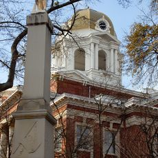
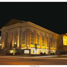
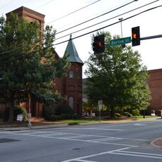
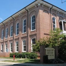
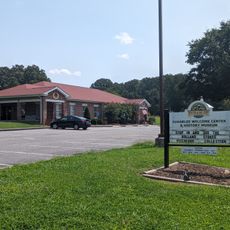
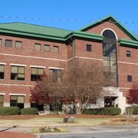
Bartow County, Administrative division in Northwest Georgia, United States

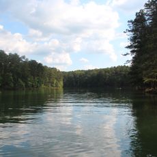
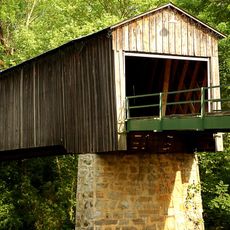
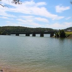
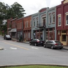
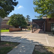
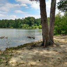
Bartow County is an administrative division in northwest Georgia with rolling hills, river valleys, and the Etowah River running through it. The area connects rural communities with more populated town centers spread across the region.

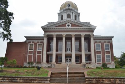
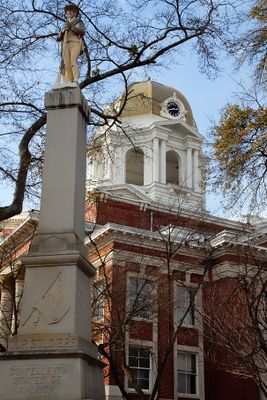
The territory was established as Cass County in 1832 and renamed Bartow County in 1861 to honor Colonel Francis Bartow, who died in the Civil War. This name change reflects the region's involvement during that pivotal period.

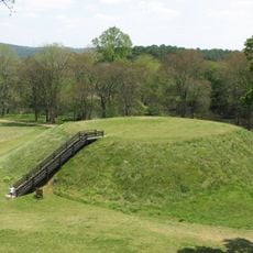
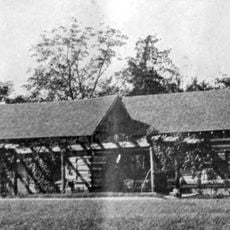
The Etowah Indian Mounds preserve earthen structures built by ancient people along the Etowah River, and you can still walk among these raised platforms today. This place shows how the region has been shaped by people over many centuries.

Interstate 75 runs through the county and connects directly to major cities in both directions. The region has small towns and rural roads that are easy to navigate, with clear signs marking the main routes.

In 1862, the Great Locomotive Chase took place here when Union soldiers captured a Confederate train called The General. This daring event remains one of the most memorable railroad stories from that war.

Location: Georgia

Inception: December 3, 1832

Capital city: Cartersville

Shares border with: Gordon County, Pickens County, Cherokee County, Cobb County, Paulding County, Polk County, Floyd County

Website: http://bartowga.org

GPS coordinates: 34.24000,-84.84000

Latest update: December 20, 2025 01:47

Photos
Around this place
Etowah Indian Mounds
United States of America

Etowah Indian Mounds

12.8 km
Red Top Mountain State Park
United States of America

Red Top Mountain State Park

16.4 km
Tellus Science Museum
United States of America

Tellus Science Museum

6.4 km
Booth Western Art Museum
United States of America

Booth Western Art Museum

8.9 km
Allatoona Dam
United States of America

Allatoona Dam

13.3 km
Leake Mounds
United States of America

Leake Mounds

11.2 km
Bartow County Courthouse
United States of America

Bartow County Courthouse

9.1 km
Euharlee Covered Bridge
United States of America

Euharlee Covered Bridge

13.7 km
Roselawn Museum
United States of America

Roselawn Museum

9 km
United States of America

Kingston Saltpeter Cave

7.9 km
Sam Jones Memorial United Methodist Church
United States of America

Sam Jones Memorial United Methodist Church

9.1 km
First Presbyterian Church
United States of America

First Presbyterian Church

9.2 km
Old Bartow County Courthouse
United States of America

Old Bartow County Courthouse

9.1 km
Corra White Harris House, Study, and Chapel
United States of America

Corra White Harris House, Study, and Chapel

16.4 km
United States of America

Taylors Lake

16.7 km
United States of America

Old Car City USA

8.8 km
Bethany Bridge
United States of America

Bethany Bridge

15.2 km
United States of America

Noble Hill-Wheeler Memorial Center

1.8 km
Grand Theatre
United States of America

Grand Theatre

9.2 km
Bartow History Museum
United States of America

Bartow History Museum

9.1 km
United States of America

Allatoona Pass Battlefield

18.2 km
Adairsville Historic District
United States of America

Adairsville Historic District

16.6 km
Emmie Nelson Public Library
United States of America

Emmie Nelson Public Library

13.7 km
United States of America

Bartow Beach

13.2 km
Cartersville Public Library
United States of America

Cartersville Public Library

9.1 km
United States of America

Falk Lake

12.9 km
Euharlee History Museum
United States of America

Euharlee History Museum

13.4 km
Upper Tanyard Creek Swimming Beach
United States of America

Upper Tanyard Creek Swimming Beach

21.6 km
Show the full map
Reviews

Visited this place? Tap the stars to rate it and share your experience / photos with the community! Try now! You can cancel it anytime.

Administrative divisions
« Bartow County - Administrative division in Northwest Georgia, United States » is provided by Around Us (aroundus.com). Images and texts are derived from Wikimedia project under a Creative Commons license. You are allowed to copy, distribute, and modify copies of this page, under the conditions set by the license, as long as this note is clearly visible.

Discover hidden gems everywhere you go!

From secret cafés to breathtaking viewpoints, skip the crowded tourist spots and find places that match your style. Our app makes it easy with voice search, smart filtering, route optimization, and insider tips from travelers worldwide. Download now for the complete mobile experience.

Around Us App Screenshot

A unique approach to discovering new places

Le Figaro

All the places worth exploring

France Info

A tailor-made excursion in just a few clicks

20 Minutes