Enable Location

We need your location to show you interesting places around you

Discover nearby places

Find interesting locations and hidden gems around you

Precise directions

Get accurate directions and distances to places

Your location is never shared with other users. It's only used when you tap the location button.

Taliaferro County

Log in to your account

Start exploring — it's free

Trusted by travelers worldwide

Continue with Google
Continue with Apple
or

We will send you a code to connect

By continuing, you accept our Terms and Conditions and our Privacy Policy

Check your inbox

We've sent a pincode in your inbox. Please enter the code below.

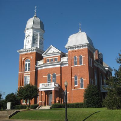
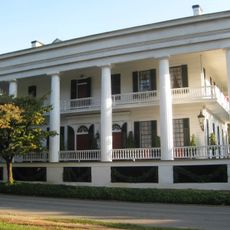
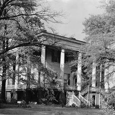
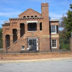
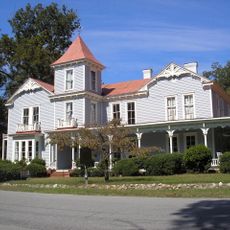
Taliaferro County, Rural county in east central Georgia, United States

Description

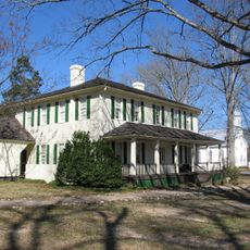
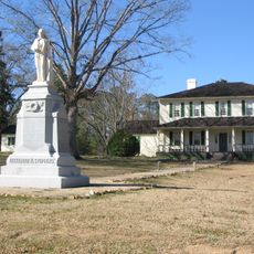
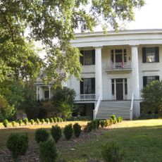
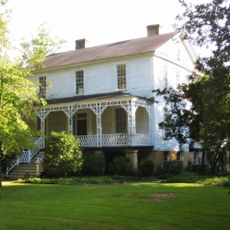
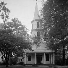
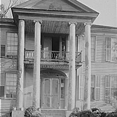
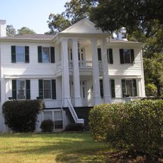
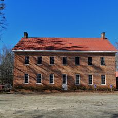
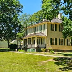
Taliaferro County is a rural county in central Georgia with gently rolling terrain covered by farms, pastures, forests, and streams. The area sits between Atlanta and Augusta in the Piedmont region and is crossed by highways and a railroad line.

History

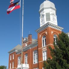
The county was founded in 1825 and named after Benjamin Taliaferro, a Revolutionary War officer from Virginia who later served in Georgia's legislature. Its establishment reflected the expansion of the region during that era.

Culture

The community keeps farming traditions alive through regular gatherings and markets where handmade goods, farm products, and local recipes are shared. These events shape how people connect and spend time together in the area.

Practical

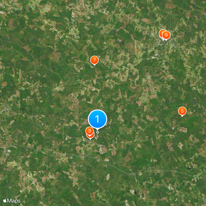
The area is easiest to reach via Interstate 20 and US Highway 278, which run through the center of the county. The best time to explore is during dry months when roads and farm paths are easier to travel.

Did you know?

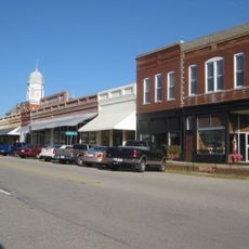
With roughly 1,600 residents, it is Georgia's least populated county and among the sparsest east of the Mississippi River. This small population has helped the area maintain its rural character and wide-open landscapes.

Location
Inception
December 24, 1825
Capital city
Crawfordville
Shares border with
Wilkes County, Hancock County, Warren County, Greene County, Oglethorpe County
GPS coordinates
33.57000,-82.88000
Latest update
December 20, 2025 12:34

AroundUs brings together thousands of curated places, local tips, and hidden gems, enriched daily by 60,000 contributors worldwide. Discover all places nearby (Georgia).

Around this place
Liberty Hall
United States of America

Liberty Hall

2 km
A. H. Stephens State Park
United States of America

A. H. Stephens State Park

1.7 km
Robert Toombs House State Historic Site
United States of America

Robert Toombs House State Historic Site

22.9 km
United States of America

Colonsay Plantation

17.2 km
Mary Willis Library
United States of America

Mary Willis Library

22.6 km
Kettle Creek Battlefield
United States of America

Kettle Creek Battlefield

13.4 km
Wilkes County Courthouse
United States of America

Wilkes County Courthouse

22.8 km
Washington-Wilkes Historical Museum
United States of America

Washington-Wilkes Historical Museum

22.9 km
Campbell-Jordan House
United States of America

Campbell-Jordan House

22.5 km
Tupper-Barnett House
United States of America

Tupper-Barnett House

22.6 km
Old Jail (Washington, Georgia)
United States of America

Old Jail (Washington, Georgia)

22.8 km
The Cedars
United States of America

The Cedars

23.2 km
Washington Presbyterian Church
United States of America

Washington Presbyterian Church

22.8 km
Jefferson Hall
United States of America

Jefferson Hall

15.2 km
Holly Court
United States of America

Holly Court

22.5 km
Bethesda Baptist Church and Cemetery
United States of America

Bethesda Baptist Church and Cemetery

15.1 km
A. H. Stephens State Park
United States of America

A. H. Stephens State Park

1.7 km
United States of America

Buffalo Lick Monument

16.5 km
Taliaferro County Courthouse
United States of America

Taliaferro County Courthouse

2.3 km
United States of America

Retro Cinema and Books

22.7 km
United States of America

Beaverdam Creek Lake

18.6 km
Crawfordville Historic District
United States of America

Crawfordville Historic District

7.3 km
United States of America

Ray Lake

19.5 km
United States of America

Reservoir 26

17.8 km
United States of America

Philomath Historic District

20 km
United States of America

Deerlick Observatory

11 km
United States of America

Crawfordville Observatory

11 km
United States of America

War Hill Monument

13.4 km
Show the full map
« Taliaferro County - Rural county in east central Georgia, United States » is provided by Around Us (aroundus.com). Images and texts are derived from Wikimedia project under a Creative Commons license. You are allowed to copy, distribute, and modify copies of this page, under the conditions set by the license, as long as this note is clearly visible.

Discover hidden gems everywhere you go!

From secret cafés to breathtaking viewpoints, skip the crowded tourist spots and find places that match your style. Our app makes it easy with voice search, smart filtering, route optimization, and insider tips from travelers worldwide. Download now for the complete mobile experience.

Around Us App Screenshot

A unique approach to discovering new places

Le Figaro

All the places worth exploring

France Info

A tailor-made excursion in just a few clicks

20 Minutes

Around Us
Travel Guide & Maps
Download

Send to your phone

QR Code
1

Open the camera app on your mobile.

2

Point at the QR code with your camera. A notification will appear.

3

Tap the notification to open the link.