·

Enable Location

We need your location to show you interesting places around you

Discover nearby places

Find interesting locations and hidden gems around you

Precise directions

Get accurate directions and distances to places

Your location is never shared with other users. It's only used when you tap the location button.

Wilkes County

Log in to your account

Start exploring — it's free

Trusted by 62,631 travelers worldwide

Continue with Google
Continue with Apple
or

We will send you a code to connect

By continuing, you accept our Terms and Conditions and our Privacy Policy

Check your inbox

We've sent a pincode in your inbox. Please enter the code below.

Wilkes County, Administrative division in Georgia, United States.

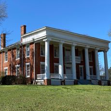
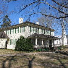
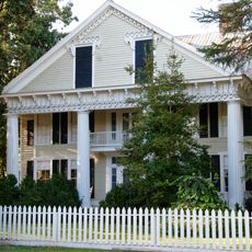
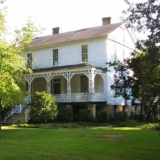
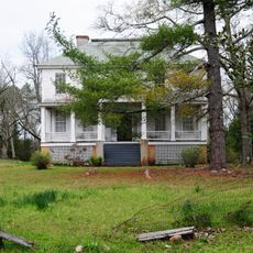
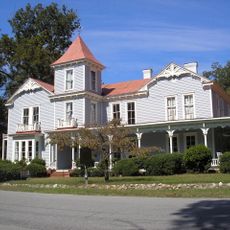
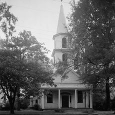
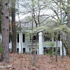
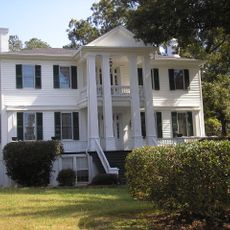
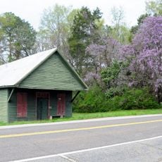
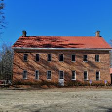
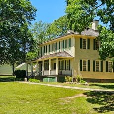
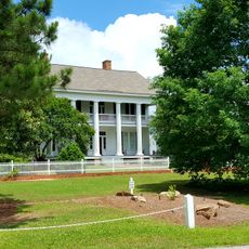
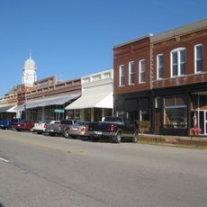
Wilkes County is an administrative division in Georgia with gently rolling terrain, farmland, and small towns including Washington, Tignall, and Rayle. The landscape is connected by local roads linking these communities and their surrounding areas.

The county was established in 1777 from the territory of Surry County and named after John Wilkes, an English parliamentarian who supported American independence. Its creation took place during the early years of United States independence.

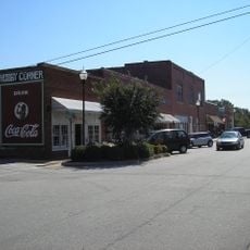
The county maintains several educational institutions and hosts regular community events that bring together residents from Washington, Tignall, and surrounding areas.

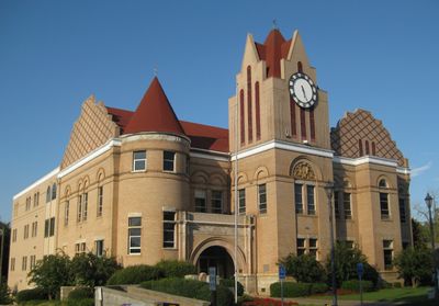
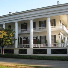
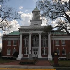
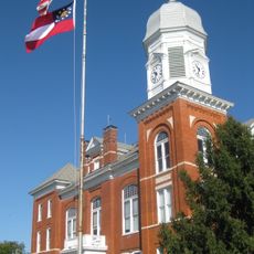
Washington serves as the administrative center and is accessible by regional roads that connect the entire county area. The road network makes it straightforward to navigate between communities throughout the region.

The county's geographical coordinates at latitude 33.7898432 and longitude -82.7385978 place it in an advantageous position for agricultural development.

The community of curious travelers

AroundUs brings together thousands of curated places, local tips, and hidden gems, enriched daily by 60,000 contributors worldwide.

Start exploring
Location
Inception
February 25, 1784
Capital city
Washington
Shares border with
Elbert County, Taliaferro County, Warren County, Lincoln County, McDuffie County, Oglethorpe County
GPS coordinates
33.79000,-82.74000
Latest update
December 7, 2025 19:23
Around this place
Richard B. Russell Lake
United States of America

Richard B. Russell Lake

35.1 km
Callaway Plantation
United States of America

Callaway Plantation

6.9 km
Elijah Clark State Park
United States of America

Elijah Clark State Park

31.4 km
Liberty Hall
United States of America

Liberty Hall

29.6 km
Richard B. Russell Dam
United States of America

Richard B. Russell Dam

29.4 km
A. H. Stephens State Park
United States of America

A. H. Stephens State Park

29.1 km
Robert Toombs House State Historic Site
United States of America

Robert Toombs House State Historic Site

6 km
Guillebeau House
United States of America

Guillebeau House

32.5 km
Mary Willis Library
United States of America

Mary Willis Library

6.1 km
Wilkes County Courthouse
United States of America

Wilkes County Courthouse

5.8 km
Anderson House
United States of America

Anderson House

11.9 km
Washington-Wilkes Historical Museum
United States of America

Washington-Wilkes Historical Museum

6.1 km
Campbell-Jordan House
United States of America

Campbell-Jordan House

6.3 km
Tupper-Barnett House
United States of America

Tupper-Barnett House

5.8 km
Calhoun-Gibert House
United States of America

Calhoun-Gibert House

31.9 km
The Cedars
United States of America

The Cedars

5.5 km
Cherry Grove Baptist Church Schoolhouse
United States of America

Cherry Grove Baptist Church Schoolhouse

4.6 km
Washington Presbyterian Church
United States of America

Washington Presbyterian Church

6.1 km
John Albert Gibert M.D. House
United States of America

John Albert Gibert M.D. House

33.3 km
Holly Court
United States of America

Holly Court

6.3 km
Mount Carmel Historic District
United States of America

Mount Carmel Historic District

32.4 km
Lincolnton Historic District
United States of America

Lincolnton Historic District

24.3 km
Bethesda Baptist Church and Cemetery
United States of America

Bethesda Baptist Church and Cemetery

29.3 km
A. H. Stephens State Park
United States of America

A. H. Stephens State Park

29.2 km
Lincoln County Courthouse
United States of America

Lincoln County Courthouse

24.5 km
Matthews House
United States of America

Matthews House

18.5 km
Taliaferro County Courthouse
United States of America

Taliaferro County Courthouse

30 km
Crawfordville Historic District
United States of America

Crawfordville Historic District

26.4 km
Show the full map
« Wilkes County - Administrative division in Georgia, United States » is provided by Around Us (aroundus.com). Images and texts are derived from Wikimedia project under a Creative Commons license. You are allowed to copy, distribute, and modify copies of this page, under the conditions set by the license, as long as this note is clearly visible.

Discover hidden gems everywhere you go!

From secret cafés to breathtaking viewpoints, skip the crowded tourist spots and find places that match your style. Our app makes it easy with voice search, smart filtering, route optimization, and insider tips from travelers worldwide. Download now for the complete mobile experience.

Around Us App Screenshot

A unique approach to discovering new places

Le Figaro

All the places worth exploring

France Info

A tailor-made excursion in just a few clicks

20 Minutes

Around Us
Travel Guide & Maps
Download

Send to your phone

QR Code
1

Open the camera app on your mobile.

2

Point at the QR code with your camera. A notification will appear.

3

Tap the notification to open the link.