Chest opened
+${chestReward.xp} XP
Explorer
NOUVEAU ×${chestReward.collectible.quantity}
tapez pour fermer
Chest locked

Open chests in the app

Around Us is built for your phone — chests unlock when you walk, explore and capture nearby places.

Enable Location

We need your location to show you interesting places around you

Discover nearby places

Find interesting locations and hidden gems around you

Precise directions

Get accurate directions and distances to places

Your location is never shared with other users. It's only used when you tap the location button.

Andrews

Log in to your account

Start exploring — it's free

Trusted by 72,890 travelers worldwide

Continue with Google
Continue with Apple
or

We will send you a code to connect

By continuing, you accept our Terms and Conditions and our Privacy Policy

Check your inbox

We've sent a pincode in your inbox. Please enter the code below.

Discussion Reviews 1 Photos
27.6k Popularity

Andrews, Administrative division in South Carolina, United States

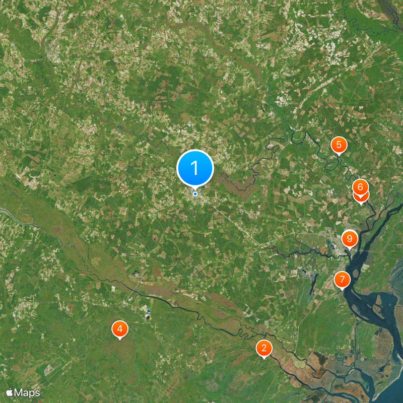
Andrews is a small town in Williamsburg County in eastern South Carolina. The community serves as a local hub for the surrounding rural area and the people who live nearby.

Andrews developed as a settlement during South Carolina's territorial expansion in the region. The town grew as a rural center for trade and local governance.

Andrews administrative division operates within the framework of South Carolina's governmental system, contributing to the management of local community services.

The town is accessible by regional roads and offers basic facilities for visitors and residents. Weekdays are the best time to explore when local businesses are typically open.

This administrative entity functions as a component of South Carolina's multi-tiered governance system, managing territorial jurisdiction and local administrative responsibilities.

The community of curious travelers

AroundUs brings together thousands of curated places, local tips, and hidden gems, enriched daily by 60,000 contributors worldwide.

Start exploring
Elevation above the sea
7 m
GPS coordinates
33.45000,-79.56389
Latest update
December 20, 2025 13:33
Around this place
Hampton Plantation
United States of America

Hampton Plantation

30.4 km
Mansfield Plantation
United States of America

Mansfield Plantation

28.4 km
Hell Hole Swamp
United States of America

Hell Hole Swamp

27.9 km
Black River Plantation House
United States of America

Black River Plantation House

25.4 km
Beneventum Plantation House
United States of America

Beneventum Plantation House

28.2 km
Battery White
United States of America

Battery White

29.9 km
Temple Beth Elohim
United States of America

Temple Beth Elohim

27.9 km
Georgetown Historic District
United States of America

Georgetown Historic District

27.9 km
Joseph H. Rainey House
United States of America

Joseph H. Rainey House

27.5 km
United States of America

Keithfield Plantation

29.7 km
United States of America

Gamble House

24.8 km
Old Market Building
United States of America

Old Market Building

27.8 km
Winyah Indigo School
United States of America

Winyah Indigo School

27.2 km
United States of America

Rural Hall Plantation House

21.5 km
Scott House
United States of America

Scott House

30 km
United States of America

Weehaw Rice Mill Chimney

28 km
Kaminski House Museum
United States of America

Kaminski House Museum

27.3 km
United States of America

Sampit Park

15.8 km
United States of America

Rames Farm Pond

18.5 km
United States of America

Jack McGill Pond

27.7 km
United States of America

Ackerman Pond

7.2 km
United States of America

Sheppard Pond

17.3 km
St. Mary's Church
United States of America

St. Mary's Church

27.8 km
United States of America

W S McCollough Junior Pond

31.1 km
United States of America

Georgetown Historic District

27.8 km
Winyah Indigo Society Hall
United States of America

Winyah Indigo Society Hall

28.1 km
Georgetown County Courthouse
United States of America

Georgetown County Courthouse

27.8 km
United States of America

Ben Cooper Splash Park

25.6 km
Show the full map
Reviews
Share your experience

No review yet

Discussions
Start a discussion...

No discussion yet

« Andrews - Administrative division in South Carolina, United States » is provided by Around Us (aroundus.com). Images and texts are derived from Wikimedia project under a Creative Commons license. You are allowed to copy, distribute, and modify copies of this page, under the conditions set by the license, as long as this note is clearly visible.

Discover hidden gems everywhere you go!

From secret cafés to breathtaking viewpoints, skip the crowded tourist spots and find places that match your style. Our app makes it easy with voice search, smart filtering, route optimization, and insider tips from travelers worldwide. Download now for the complete mobile experience.

Around Us App Screenshot

A unique approach to discovering new places

Le Figaro

All the places worth exploring

France Info

A tailor-made excursion in just a few clicks

20 Minutes

Around Us
Travel Guide & Maps
Download

Send to your phone

QR Code
1

Open the camera app on your mobile.

2

Point at the QR code with your camera. A notification will appear.

3

Tap the notification to open the link.