Chest opened
+${chestReward.xp} XP
Explorer
NOUVEAU ×${chestReward.collectible.quantity}
tapez pour fermer
Chest locked

Open chests in the app

Around Us is built for your phone — chests unlock when you walk, explore and capture nearby places.

Enable Location

We need your location to show you interesting places around you

Discover nearby places

Find interesting locations and hidden gems around you

Precise directions

Get accurate directions and distances to places

Your location is never shared with other users. It's only used when you tap the location button.

Noe Valley

Log in to your account

Start exploring — it's free

Trusted by 72,880 travelers worldwide

Continue with Google
Continue with Apple
or

We will send you a code to connect

By continuing, you accept our Terms and Conditions and our Privacy Policy

Check your inbox

We've sent a pincode in your inbox. Please enter the code below.

Discussion Reviews 1 Photos
1.1k Popularity

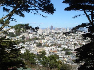
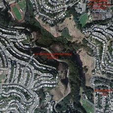
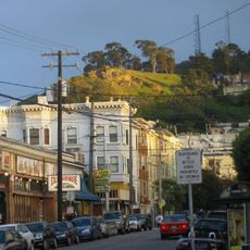
Noe Valley, Residential neighborhood in central San Francisco, US.

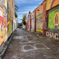
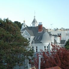
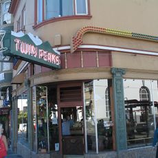
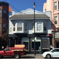
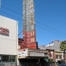
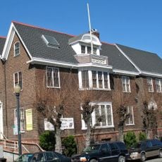
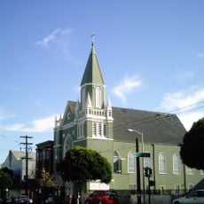
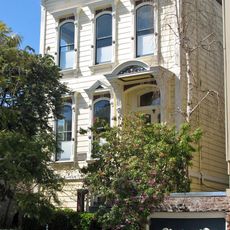
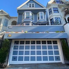
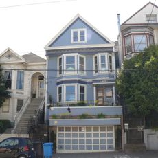
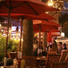
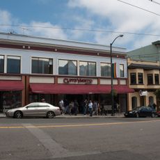
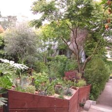
Noe Valley is a residential neighborhood stretching between 21st and 30th Streets with Victorian-era homes scattered throughout. The 24th Street corridor serves as the main commercial heart, lined with local shops, restaurants, and gathering spaces.

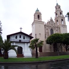
The neighborhood takes its name from José de Jesús Noé, the last Mexican alcalde of San Francisco, who sold the land to John Meirs Horner in 1854. This connection to San Francisco's early period remains central to the area's identity.

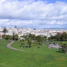
The Saturday farmers market at Noe Valley Town Square draws local food producers, musicians, and neighbors together regularly. This gathering shapes how residents connect and spend their weekends.

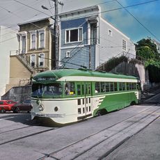
The J Church light rail line and multiple bus routes make getting around and connecting to downtown straightforward. The neighborhood is also walkable, making it easy to explore on foot.

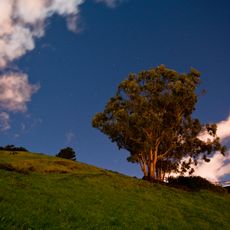
The neighborhood stays noticeably warmer than other San Francisco areas because surrounding hills block the cold coastal fog. This natural weather pattern makes it one of the sunniest spots in the city.

The community of curious travelers

AroundUs brings together thousands of curated places, local tips, and hidden gems, enriched daily by 60,000 contributors worldwide.

Start exploring
Location
Shares border with
Diamond Heights, Glen Park
GPS coordinates
37.75144,-122.43186
Latest update
December 14, 2025 18:40
Around this place
Mission San Francisco de Asís
United States of America

Mission San Francisco de Asís

1.5 km
Mission Dolores Park
United States of America

Mission Dolores Park

858 m
Castro Theatre
United States of America

Castro Theatre

1.2 km
GLBT Historical Society
United States of America

GLBT Historical Society

1.1 km
Clarion Alley
United States of America

Clarion Alley

1.6 km
Glen Canyon Park
United States of America

Glen Canyon Park

1.6 km
Randall Museum
United States of America

Randall Museum

1.6 km
Alfred E. Clarke Mansion
United States of America

Alfred E. Clarke Mansion

1.2 km
Twin Peaks Tavern
United States of America

Twin Peaks Tavern

1.3 km
The Deaf Club
United States of America

The Deaf Club

1.7 km
Alamo Drafthouse New Mission Cinema
United States of America

Alamo Drafthouse New Mission Cinema

1.2 km
Tank Hill
United States of America

Tank Hill

1.7 km
Billy Goat Hill, San Francisco
United States of America

Billy Goat Hill, San Francisco

1.1 km
Artists' Television Access
United States of America

Artists' Television Access

1.1 km
Girls Club
United States of America

Girls Club

1.7 km
Second Church of Christ, Scientist
United States of America

Second Church of Christ, Scientist

1 km
St. Matthew’s Lutheran Church
United States of America

St. Matthew’s Lutheran Church

1.5 km
Frank G. Edwards House
United States of America

Frank G. Edwards House

822 m
Maxime Leforestier's blue house
United States of America

Maxime Leforestier's blue house

1.1 km
Maison bleue, San Francisco
United States of America

Maison bleue, San Francisco

1.1 km
Eureka Valley - Harvey Milk Memorial Branch Library
United States of America

Eureka Valley - Harvey Milk Memorial Branch Library

1.4 km
Seward Street Slides
United States of America

Seward Street Slides

1 km
Cafe Flore
United States of America

Cafe Flore

1.5 km
Castro Street Theatre
United States of America

Castro Street Theatre

1.3 km
Noe Valley - Sally Brunn Branch Library
United States of America

Noe Valley - Sally Brunn Branch Library

316 m
Mission Branch Library
United States of America

Mission Branch Library

1.1 km
Vulcan Stairs
United States of America

Vulcan Stairs

1.6 km
Liberty Street Historic District
United States of America

Liberty Street Historic District

1 km
Show the full map
Reviews
Share your experience

No review yet

Discussions
Start a discussion...

No discussion yet

« Noe Valley - Residential neighborhood in central San Francisco, US » is provided by Around Us (aroundus.com). Images and texts are derived from Wikimedia project under a Creative Commons license. You are allowed to copy, distribute, and modify copies of this page, under the conditions set by the license, as long as this note is clearly visible.

Discover hidden gems everywhere you go!

From secret cafés to breathtaking viewpoints, skip the crowded tourist spots and find places that match your style. Our app makes it easy with voice search, smart filtering, route optimization, and insider tips from travelers worldwide. Download now for the complete mobile experience.

Around Us App Screenshot

A unique approach to discovering new places

Le Figaro

All the places worth exploring

France Info

A tailor-made excursion in just a few clicks

20 Minutes

Around Us
Travel Guide & Maps
Download

Send to your phone

QR Code
1

Open the camera app on your mobile.

2

Point at the QR code with your camera. A notification will appear.

3

Tap the notification to open the link.