Chest opened
+${chestReward.xp} XP
Explorer
NOUVEAU ×${chestReward.collectible.quantity}
tapez pour fermer
Chest locked

Open chests in the app

Around Us is built for your phone — chests unlock when you walk, explore and capture nearby places.

Enable Location

We need your location to show you interesting places around you

Discover nearby places

Find interesting locations and hidden gems around you

Precise directions

Get accurate directions and distances to places

Your location is never shared with other users. It's only used when you tap the location button.

The Wiggle

Log in to your account

Start exploring — it's free

Trusted by 72,889 travelers worldwide

Continue with Google
Continue with Apple
or

We will send you a code to connect

By continuing, you accept our Terms and Conditions and our Privacy Policy

Check your inbox

We've sent a pincode in your inbox. Please enter the code below.

The Wiggle
Discussion Reviews 1 Photos
14.6k Popularity

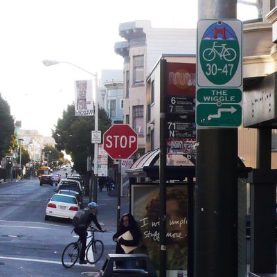
The Wiggle, Bicycle route in Lower Haight, San Francisco, United States.

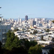
The Wiggle is a marked bicycle route in San Francisco that extends roughly one mile from Market Street to Golden Gate Park while gaining about 120 feet of elevation. The route follows a zig-zag pattern across multiple streets, using the gentlest grades available through the city's hills.

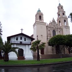
The path was originally a valley route used by Native Americans, later developed by Spanish settlers as a connection between Mission Dolores and the Presidio. From this early trail, an urban street system eventually evolved that cyclists today prefer for its gentle climb toward the park.

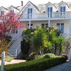
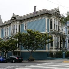
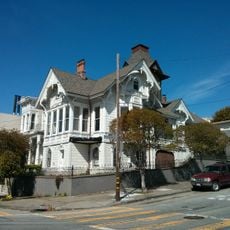
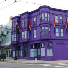
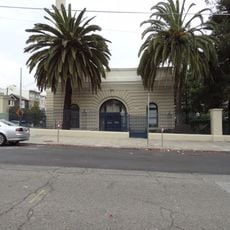
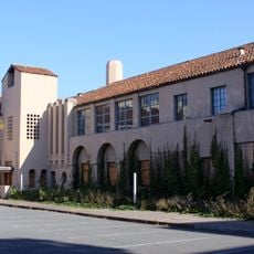
The route links downtown San Francisco with its western neighborhoods and is widely used today by cyclists seeking an easier climb. This path allows visitors to move between busy central areas and quieter districts.

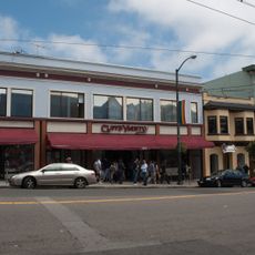
Cyclists can follow the green pavement markings and street signs along Duboce Avenue, Steiner, Waller, Pierce, Haight, Scott, and Fell Streets throughout the route. The ride stays simple because the path remains clearly marked and easy to navigate.

The route traces the path of an old watercourse that once flowed through the Sans Souci Valley before the city built up around it. This natural water channel determined the gentle slope that cyclists appreciate today.

The community of curious travelers

AroundUs brings together thousands of curated places, local tips, and hidden gems, enriched daily by 60,000 contributors worldwide.

Start exploring
Location
GPS coordinates
37.77160,-122.43400
Latest update
December 7, 2025 20:20
Around this place
Painted Ladies
United States of America

Painted Ladies

526 m
Mission San Francisco de Asís
United States of America

Mission San Francisco de Asís

1 km
San Francisco Mint
United States of America

San Francisco Mint

599 m
William Westerfeld House
United States of America

William Westerfeld House

660 m
Buena Vista Park
United States of America

Buena Vista Park

717 m
Randall Museum
United States of America

Randall Museum

889 m
Twin Peaks Tavern
United States of America

Twin Peaks Tavern

953 m
St. Joseph's Hospital
United States of America

St. Joseph's Hospital

611 m
Abner Phelps House
United States of America

Abner Phelps House

380 m
Cafe Du Nord
United States of America

Cafe Du Nord

649 m
United States of America

Third Baptist Church

774 m
Archbishop's Mansion
United States of America

Archbishop's Mansion

748 m
Charles Dietle House
United States of America

Charles Dietle House

780 m
Nightingale House
United States of America

Nightingale House

616 m
William McKinley Memorial (San Francisco)
United States of America

William McKinley Memorial (San Francisco)

679 m
California Volunteers
United States of America

California Volunteers

702 m
Mish House
United States of America

Mish House

404 m
The Lorraine Hansberry Theatre
United States of America

The Lorraine Hansberry Theatre

855 m
St. Matthew’s Lutheran Church
United States of America

St. Matthew’s Lutheran Church

1.1 km
Carmel Fallon Building
United States of America

Carmel Fallon Building

889 m
Theodore Green Apothecary
United States of America

Theodore Green Apothecary

423 m
Mini Bar SF
United States of America

Mini Bar SF

755 m
Inspiration
United States of America

Inspiration

976 m
Eureka Valley - Harvey Milk Memorial Branch Library
United States of America

Eureka Valley - Harvey Milk Memorial Branch Library

859 m
Cafe Flore
United States of America

Cafe Flore

740 m
Southern Pacific Company Hospital Historic District
United States of America

Southern Pacific Company Hospital Historic District

755 m
Castro Street Theatre
United States of America

Castro Street Theatre

1 km
San Francisco State Teacher's College
United States of America

San Francisco State Teacher's College

743 m
Show the full map
Reviews
Share your experience

No review yet

Discussions
Start a discussion...

No discussion yet

« The Wiggle - Bicycle route in Lower Haight, San Francisco, United States » is provided by Around Us (aroundus.com). Images and texts are derived from Wikimedia project under a Creative Commons license. You are allowed to copy, distribute, and modify copies of this page, under the conditions set by the license, as long as this note is clearly visible.

Discover hidden gems everywhere you go!

From secret cafés to breathtaking viewpoints, skip the crowded tourist spots and find places that match your style. Our app makes it easy with voice search, smart filtering, route optimization, and insider tips from travelers worldwide. Download now for the complete mobile experience.

Around Us App Screenshot

A unique approach to discovering new places

Le Figaro

All the places worth exploring

France Info

A tailor-made excursion in just a few clicks

20 Minutes

Around Us
Travel Guide & Maps
Download

Send to your phone

QR Code
1

Open the camera app on your mobile.

2

Point at the QR code with your camera. A notification will appear.

3

Tap the notification to open the link.