Chest opened
+${chestReward.xp} XP
Explorer
NOUVEAU ×${chestReward.collectible.quantity}
tapez pour fermer
Chest locked

Open chests in the app

Around Us is built for your phone — chests unlock when you walk, explore and capture nearby places.

Enable Location

We need your location to show you interesting places around you

Discover nearby places

Find interesting locations and hidden gems around you

Precise directions

Get accurate directions and distances to places

Your location is never shared with other users. It's only used when you tap the location button.

Yerba Buena Island

Log in to your account

Start exploring — it's free

Trusted by 72,993 travelers worldwide

Continue with Google
Continue with Apple
or

We will send you a code to connect

By continuing, you accept our Terms and Conditions and our Privacy Policy

Check your inbox

We've sent a pincode in your inbox. Please enter the code below.

Discussion Reviews 2 Photos
51.8k Popularity

Yerba Buena Island, Natural island in San Francisco Bay, California.

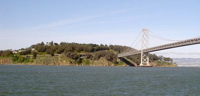
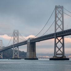
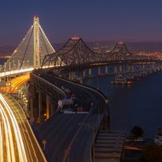
Yerba Buena Island is an island in San Francisco Bay with residential neighborhoods and green spaces connected to Oakland via the Bay Bridge. The island combines housing with parks and public areas that shape the everyday environment where people live and spend time outdoors.

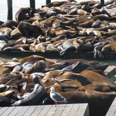
The island was previously known as Sea Bird Island and Wood Island before receiving its current name. During the Gold Rush era, goat farming took place here, reflecting the agricultural use of the land at that time.

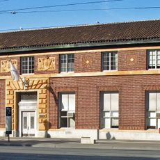
The Island Club serves as the main gathering spot where residents participate in fitness classes, social events, and community activities. The space reflects how people spend their everyday lives here, coming together for shared interests and informal meetings.

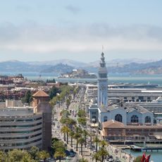
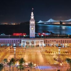
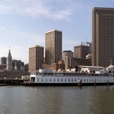
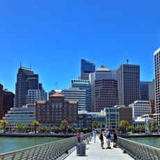
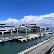
Access to the island is mainly by ferry, which provides regular connections between the island and downtown San Francisco. Visitors should plan according to ferry schedules and note that weather conditions can occasionally affect transportation to and from the island.

A tunnel runs beneath the island connecting the eastern and western sections of the Bay Bridge, representing a striking engineering achievement. Most visitors don't realize this massive underground passage exists beneath their feet as they explore the island above.

The community of curious travelers

AroundUs brings together thousands of curated places, local tips, and hidden gems, enriched daily by 60,000 contributors worldwide.

Start exploring
Location
GPS coordinates
37.80993,-122.36608
Latest update
March 5, 2026 18:58
Around this place
San Francisco–Oakland Bay Bridge
United States of America

San Francisco–Oakland Bay Bridge

1.9 km
Eastern span replacement of the San Francisco–Oakland Bay Bridge
United States of America

Eastern span replacement of the San Francisco–Oakland Bay Bridge

1.5 km
Embarcadero
United States of America

Embarcadero

2.8 km
San Francisco Ferry Building
United States of America

San Francisco Ferry Building

2.8 km
United States of America

The Bay Lights

1.8 km
Mohandas K. Gandhi
United States of America

Mohandas K. Gandhi

2.8 km
Administration Building, Treasure Island
United States of America

Administration Building, Treasure Island

864 m
Piers in San Francisco
United States of America

Piers in San Francisco

2.7 km
Ferry Station Post Office Building
United States of America

Ferry Station Post Office Building

2.8 km
Yerba Buena Light
United States of America

Yerba Buena Light

540 m
Ferryboat Santa Rosa
United States of America

Ferryboat Santa Rosa

2.9 km
Hall of Transportation, Treasure Island
United States of America

Hall of Transportation, Treasure Island

910 m
Palace of Fine and Decorative Arts, Treasure Island
United States of America

Palace of Fine and Decorative Arts, Treasure Island

1 km
United States of America

Bliss Dance

1.4 km
Pier 1
United States of America

Pier 1

2.8 km
Treasure Island Museum
United States of America

Treasure Island Museum

905 m
United States of America

Three_dog_heads

1.9 km
United States of America

Signal

1.7 km
United States of America

Islands of the Pacific

924 m
United States of America

Sculpture, Work of art

941 m
United States of America

Work of art, sculpture

911 m
United States of America

Bay Bridge and Treasure Island Viewpoint

2.7 km
United States of America

Scenic viewpoint

277 m
United States of America

Scenic viewpoint

1.7 km
United States of America

Yerba Buena Island Vista Point

276 m
United States of America

Bimla Rhinehart Vista Point

822 m
United States of America

Scenic viewpoint

182 m
United States of America

Scenic viewpoint

15 m
Show the full map
Reviews
Share your experience

No review yet

Discussions
Start a discussion...

No discussion yet

« Yerba Buena Island - Natural island in San Francisco Bay, California » is provided by Around Us (aroundus.com). Images and texts are derived from Wikimedia project under a Creative Commons license. You are allowed to copy, distribute, and modify copies of this page, under the conditions set by the license, as long as this note is clearly visible.

Discover hidden gems everywhere you go!

From secret cafés to breathtaking viewpoints, skip the crowded tourist spots and find places that match your style. Our app makes it easy with voice search, smart filtering, route optimization, and insider tips from travelers worldwide. Download now for the complete mobile experience.

Around Us App Screenshot

A unique approach to discovering new places

Le Figaro

All the places worth exploring

France Info

A tailor-made excursion in just a few clicks

20 Minutes

Around Us
Travel Guide & Maps
Download

Send to your phone

QR Code
1

Open the camera app on your mobile.

2

Point at the QR code with your camera. A notification will appear.

3

Tap the notification to open the link.