Embarcadero, Waterfront boulevard in San Francisco, US
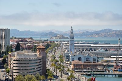
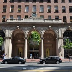
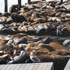
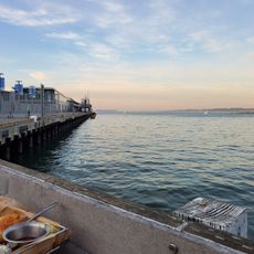
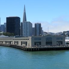
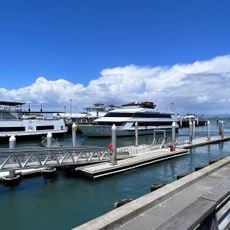
The Embarcadero is a three-mile boulevard running along San Francisco's eastern waterfront from AT&T Park in the south to Fisherman's Wharf in the north. Along this stretch, numbered piers line the water's edge, many of them converted into restaurants, museums and public plazas.
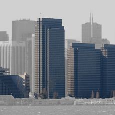
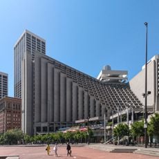
The waterfront received thousands of soldiers shipping out to the Pacific during World War II and saw heavy maritime traffic through the 1950s. After the 1989 Loma Prieta earthquake, the damaged elevated highway was torn down, reopening views of the bay.
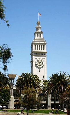
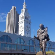
Inside the Ferry Building marketplace, vendors offer local cheeses, freshly baked bread and handmade charcuterie while fishers sell their catch from the bay at outdoor stalls along the wharf. On weekends, families gather under the arcades for breakfast and watch the passing boats.
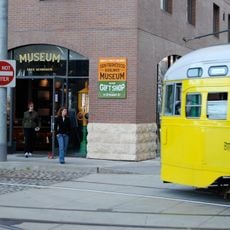
The historic F streetcar line connects the entire length of the waterfront and stops at every major pier. Cyclists find a protected bike lane on the eastern side, separated from the pedestrian path by bollards.
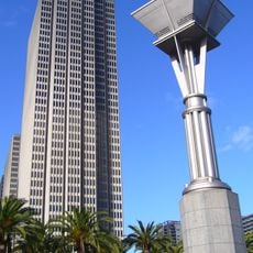
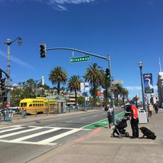
The palm trees lining the waterfront originally came from the 1915 Panama-Pacific Exposition and were replanted after the freeway removal. Many of the old railway tracks that once guided freight cars to the warehouses remain visible beneath the pavement.
The community of curious travelers
AroundUs brings together thousands of curated places, local tips, and hidden gems, enriched daily by 60,000 contributors worldwide.