Hayward Regional Shoreline, Nature reserve and park on the shore of San Francisco Bay, California
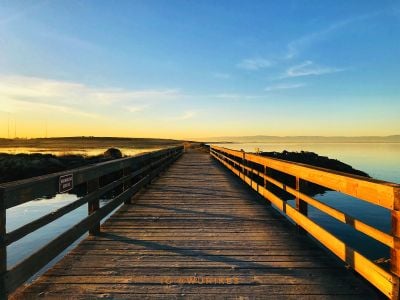
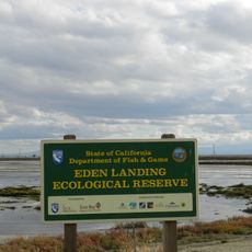
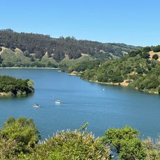
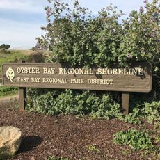
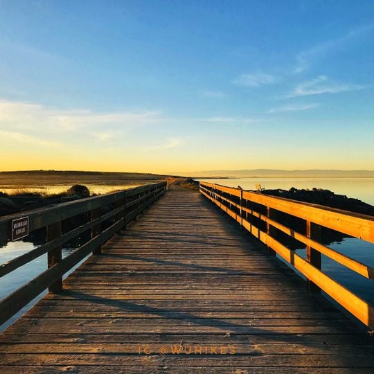
Hayward Regional Shoreline is a nature reserve and park along the shore of San Francisco Bay in California. It is made up of salt, fresh, and brackish marshes, open water areas, and levees linked by a network of gravel and dirt trails.
The land was used for salt production in the 1800s, when levees were built to hold back water and dry out sections of the bay. Boats docked at landing sites to carry salt to San Francisco, and at low tide you can still spot wooden remains of those old structures poking out of the mudflats.
The main entry points are off West Winton Avenue and Grant Avenue, with signs pointing to parking areas. Most trails are flat and easy to walk, though some sections can be muddy after rain, so sturdy footwear is a good idea. There is little shade along the routes, so bring water and a hat.
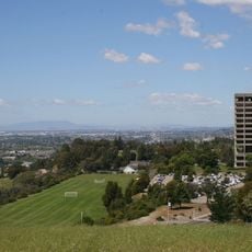
The park holds a former landfill capped with soil and plants, and part of its land is former commercial salt flats bought in 1996. Its 250-acre Cogswell Marsh and the 364-acre Oro Loma Marsh, built in 1997, are tidal wetlands. The Hayward Shoreline Interpretive Center, south of the park, explains the bay shore habitats.
The community of curious travelers
AroundUs brings together thousands of curated places, local tips, and hidden gems, enriched daily by 94,047 contributors worldwide.