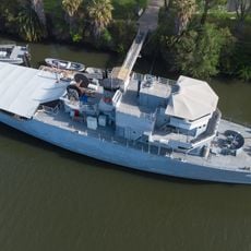
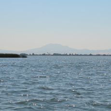
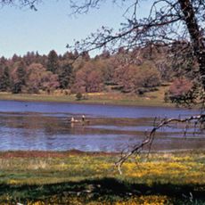
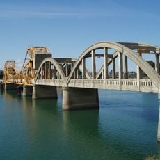
King Island, Small river island in Sacramento-San Joaquin Delta, California.
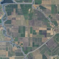
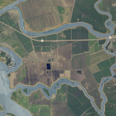
King Island is a small delta island in California surrounded by waterways and channels. The landmass sits within the Sacramento-San Joaquin river system, forming natural boundaries between different water routes.
King Island formed through sediment deposits and land reclamation during California's delta development in the 1800s. These changes shaped the waterways and landscape that exist today.
King Island is managed by Reclamation District 2044, a local agency responsible for levee upkeep and drainage on the island. Its name appears on a 1952 United States Geological Survey map of the Delta, and the surrounding channels carry names such as White Slough, Bishop Cut, Disappointment Slough and Honker Cut.
The island is accessible only by water, so visitors need to arrange boat transportation or join a guided tour. Local waterways are navigable but require familiarity with currents and tidal conditions.
King Island covers 1,300 hectares (3,200 acres) and is managed by Reclamation District 2044, a local agency responsible for the levees and drainage of the island. It appears on a 1952 United States Geological Survey map of the north Delta.
The community of curious travelers
AroundUs brings together thousands of curated places, local tips, and hidden gems, enriched daily by 94,771 contributors worldwide.