Chest opened
+${chestReward.xp} XP
Explorer
NOUVEAU ×${chestReward.collectible.quantity}
tapez pour fermer

See the monuments around you in AR Open chests in the app

Around Us is built for your phone — point your camera at the streets and discover the monuments and places around you in augmented reality. Around Us is built for your phone — chests unlock when you walk, explore and capture nearby places.

•

Enable Location

We need your location to show you interesting places around you

Discover nearby places

Find interesting locations and hidden gems around you

Precise directions

Get accurate directions and distances to places

Your location is never shared with other users. It's only used when you tap the location button.

Leimert Bridge

Log in to your account

Start exploring — it's free

Trusted by 93,838 travelers worldwide

Continue with Google
Continue with Apple
or

We will send you a code to connect

By continuing, you accept our Terms and Conditions and our Privacy Policy

Check your inbox

We've sent a pincode in your inbox. Please enter the code below.

Leimert Bridge, Cement and steel arch bridge in Oakmore neighborhood, Oakland, California.

Leimert Bridge is a cement and steel arch bridge in Oakland's Oakmore neighborhood, spanning 357 ft (109 m) across Sausal Creek at a height of 117 ft (36 m). Its single arch carries the roadway between the canyon walls, with the Dimond Canyon trails passing directly beneath the span.

Walter H. Leimert, a realtor, built the Leimert Bridge to open up the Oakmore Heights area for development; it was completed in 1926. George Posey, who also designed the Posey Tube between Oakland and Alameda, was its designer. At completion it was the largest single-span bridge on the West Coast, a title it held until the 360 ft span of Bixby Creek Bridge opened in 1932. The city designated it an Oakland landmark in 1980.

The bridge represents the early 20th-century development of Oakland's residential areas and became a City of Oakland landmark in 1980.

Dimond Canyon's multi-use trails pass directly beneath the span; reach them from the Dimond Canyon Trail off El Centro Ave or the Old Cañon Trail off Benevides Ave. The bridge itself carries Park Boulevard, so walkers and drivers cross it rather than climb to it.

The Park Boulevard #18 streetcar left the Key System network to cross the bridge, linking Oakmore with central Oakland until the late 1940s. Its overhead power lines were then converted to street lighting, so the route's electrical hardware still hangs above the roadway.

The community of curious travelers

AroundUs brings together thousands of curated places, local tips, and hidden gems, enriched daily by 93,838 contributors worldwide.

Start exploring
Location
Official opening
1926
GPS coordinates
37.81230,-122.21300
Latest update
October 25, 2026 20:56
Around this place
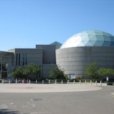
Chabot Space and Science Center
United States of America

Chabot Space and Science Center

1.8 mi
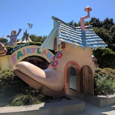
Children's Fairyland
United States of America

Children's Fairyland

2.6 mi
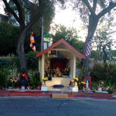
Oakland Buddha Shrine
United States of America

Oakland Buddha Shrine

2.1 mi
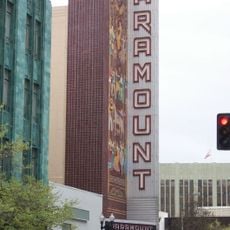
Paramount Theatre
United States of America

Paramount Theatre

3 mi
Oakland Museum of California
United States of America

Oakland Museum of California

2.9 mi
Kaiser Convention Center
United States of America

Kaiser Convention Center

2.9 mi
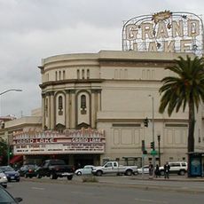
Grand Lake Theatre
United States of America

Grand Lake Theatre

1.9 mi
Robert Sibley Volcanic Regional Preserve
United States of America

Robert Sibley Volcanic Regional Preserve

3 mi
Dr. Aurelia Reinhardt Redwood Regional Park
United States of America

Dr. Aurelia Reinhardt Redwood Regional Park

2.8 mi
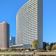
Kaiser Center
United States of America

Kaiser Center

2.8 mi
Ordway Building
United States of America

Ordway Building

2.8 mi
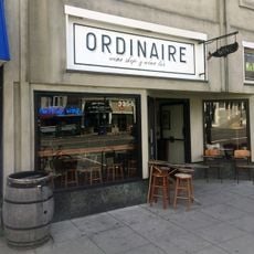
Ordinaire
United States of America

Ordinaire

1.8 mi
René C. Davidson Courthouse
United States of America

René C. Davidson Courthouse

2.9 mi
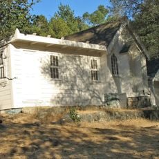
Joaquin Miller House
United States of America

Joaquin Miller House

1.1 mi
United States of America

Round Top

2.8 mi
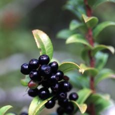
Huckleberry Botanic Regional Preserve
United States of America

Huckleberry Botanic Regional Preserve

2.6 mi
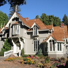
J. Mora Moss House
United States of America

J. Mora Moss House

2.7 mi
Camron-Stanford House
United States of America

Camron-Stanford House

2.7 mi
William Joseph McInnes Botanic Garden and Campus Arboretum
United States of America

William Joseph McInnes Botanic Garden and Campus Arboretum

2.8 mi
Lake Merritt Plaza
United States of America

Lake Merritt Plaza

2.9 mi
Kaiser Engineering Building
United States of America

Kaiser Engineering Building

2.9 mi
Temescal Regional Recreation Area
United States of America

Temescal Regional Recreation Area

2.6 mi
Oakland Harbor Light
United States of America

Oakland Harbor Light

2.7 mi
Kehilla Community Synagogue
United States of America

Kehilla Community Synagogue

1.8 mi
White Mansion
United States of America

White Mansion

2.3 mi
Labadie Arboretum
United States of America

Labadie Arboretum

2.8 mi
Mills Hall
United States of America

Mills Hall

2.8 mi
Oakland Main Library
United States of America

Oakland Main Library

2.9 mi
Show the full map
Reviews
Share your experience

No review yet

Discussions
Start a discussion...

No discussion yet

« Leimert Bridge - Cement and steel arch bridge in Oakmore neighborhood, Oakland, California » is provided by Around Us (aroundus.com). Images and texts are derived from Wikimedia project under a Creative Commons license. You are allowed to copy, distribute, and modify copies of this page, under the conditions set by the license, as long as this note is clearly visible.

Discover hidden gems everywhere you go!

From secret cafés to breathtaking viewpoints, skip the crowded tourist spots and find places that match your style. Our app makes it easy with voice search, smart filtering, route optimization, and insider tips from travelers worldwide. Download now for the complete mobile experience.
Around Us App Screenshot
❝

A unique approach to discovering new places❞

— Le Figaro

❝

All the places worth exploring❞

— France Info

❝

A tailor-made excursion in just a few clicks❞

— 20 Minutes

Around Us
Travel Guide & Maps
Download

Send to your phone

QR Code
1

Open the camera app on your mobile.

2

Point at the QR code with your camera. A notification will appear.

3

Tap the notification to open the link.