Chest opened
+${chestReward.xp} XP
Explorer
NOUVEAU ×${chestReward.collectible.quantity}
tapez pour fermer

See the monuments around you in AR Open chests in the app

Around Us is built for your phone — point your camera at the streets and discover the monuments and places around you in augmented reality. Around Us is built for your phone — chests unlock when you walk, explore and capture nearby places.

Enable Location

We need your location to show you interesting places around you

Discover nearby places

Find interesting locations and hidden gems around you

Precise directions

Get accurate directions and distances to places

Your location is never shared with other users. It's only used when you tap the location button.

Pittsburg

Log in to your account

Start exploring — it's free

Trusted by 83,985 travelers worldwide

Continue with Google
Continue with Apple
or

We will send you a code to connect

By continuing, you accept our Terms and Conditions and our Privacy Policy

Check your inbox

We've sent a pincode in your inbox. Please enter the code below.

Discussion Reviews 5 Photos
66.8k Popularity

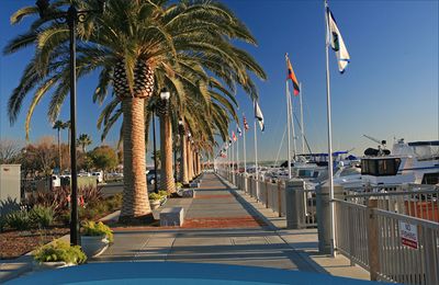
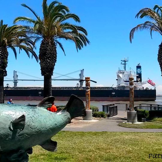
Pittsburg, Industrial city in Contra Costa County, California.

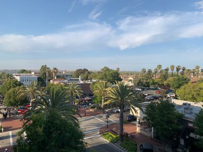
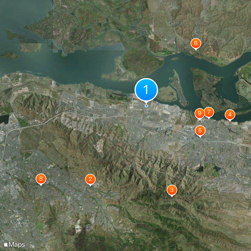
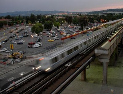
Pittsburg sits on the southern shore of Suisun Bay in Contra Costa County, spreading across flat land near where the Sacramento and San Joaquin rivers meet. The city mixes residential neighborhoods with industrial zones along the waterfront, while the downtown area holds small shops and restaurants.

The settlement started in 1849 as Black Diamond, named after the coal mines that drew workers from Britain and Wales. After incorporation in 1903, the city took its current name in 1911 as a nod to Pennsylvania because of the similarities between the two industrial towns.

The California Theatre, constructed in 1920, remains an entertainment center that transformed from silent films to modern performances through multiple renovations.

The city sits along Highway 4, which connects to Interstate 680 and the towns farther west. Downtown can be reached easily by car, while walking or cycling along the waterfront gives access to views of the bay.

The city kept the name Black Diamond until 1911, when a voter referendum approved the change as coal mining and fishing no longer shaped the economy. The former Black Diamond Cannery once processed salmon and sturgeon from the bay before fishing operations stopped in the 1950s.

The community of curious travelers

AroundUs brings together thousands of curated places, local tips, and hidden gems, enriched daily by 60,000 contributors worldwide.
Start exploring
Inception
1849
Elevation above the sea
8 m
Shares border with
Antioch
GPS coordinates
38.02806,-121.88472
Latest update
December 18, 2025 19:57
Around this place
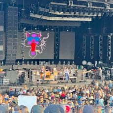
Sleep Train Pavilion
United States of America

Sleep Train Pavilion

9.3 km
Black Diamond Mines Regional Preserve
United States of America

Black Diamond Mines Regional Preserve

9 km
Antioch Dunes National Wildlife Refuge
United States of America

Antioch Dunes National Wildlife Refuge

8.1 km
Contra Loma Regional Park
United States of America

Contra Loma Regional Park

5.9 km
Hastings Adobe
United States of America

Hastings Adobe

7.2 km
Roswell Butler Hard House
United States of America

Roswell Butler Hard House

6.1 km
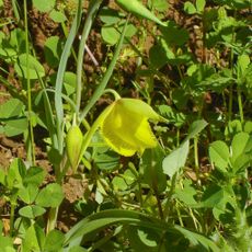
Markham Regional Arboretum
United States of America

Markham Regional Arboretum

12.6 km
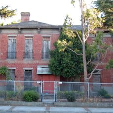
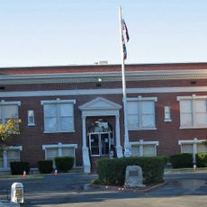
Riverview Union High School Building
United States of America

Riverview Union High School Building

5.3 km
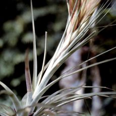
Rainforest Flora
United States of America

Rainforest Flora

12.6 km
Pixieland Amusement Park
United States of America

Pixieland Amusement Park

12.8 km
United States of America

Memorial Park

7.5 km
United States of America

Mira Vista Park

6.7 km
United States of America

Ambrose Park

4.9 km
United States of America

Oakhurst Country Club

9.9 km
United States of America

Concord Pavilion

9 km
United States of America

Diablo Creek Golf Course

12 km
United States of America

Babe Ruth Baseball Field

5.1 km
United States of America

Tea Cups

12.8 km
United States of America

Windy Grove Cars

12.8 km
United States of America

Dragon Roller Coaster

12.7 km
United States of America

Lone Tree Golf Course

9 km
United States of America

Heritage Plaza

497 m
United States of America

The Steelworker

454 m
United States of America

Our Lady of Pittsburg

489 m
United States of America

The Fisherman

633 m
United States of America

"Red Salmon" fishing boat

652 m
United States of America

Work of art, statue

8.8 km
United States of America

A red anchor several meters tall.

1.1 km
Show the full map
Reviews
Share your experience

No review yet

Discussions
Start a discussion...

No discussion yet

« Pittsburg - Industrial city in Contra Costa County, California » is provided by Around Us (aroundus.com). Images and texts are derived from Wikimedia project under a Creative Commons license. You are allowed to copy, distribute, and modify copies of this page, under the conditions set by the license, as long as this note is clearly visible.

Discover hidden gems everywhere you go!

From secret cafés to breathtaking viewpoints, skip the crowded tourist spots and find places that match your style. Our app makes it easy with voice search, smart filtering, route optimization, and insider tips from travelers worldwide. Download now for the complete mobile experience.

Around Us App Screenshot

A unique approach to discovering new places

Le Figaro

All the places worth exploring

France Info

A tailor-made excursion in just a few clicks

20 Minutes

Around Us
Travel Guide & Maps
Download

Send to your phone

QR Code
1

Open the camera app on your mobile.

2

Point at the QR code with your camera. A notification will appear.

3

Tap the notification to open the link.