Mount Vaca, Mountain summit in Napa and Solano counties, California, US
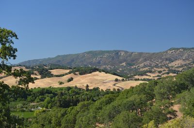
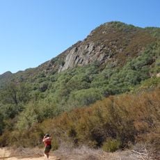
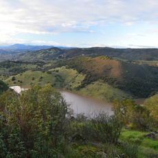
Mount Vaca is a mountain peak in the Vaca Mountains with an elevation of 2,822 feet, making it the highest point in Solano County. The summit sits at the border between Napa and Solano counties and serves as a distinctive landmark in the region east of San Francisco.
The mountain's name comes from Juan Manuel Cabeza Vaca, who received a Mexican land grant covering this region in 1843. These early land arrangements shaped how property and development were divided in the surrounding areas for decades to come.
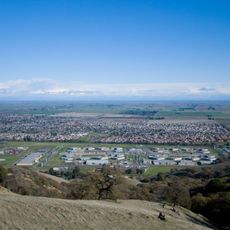
The summit marks a boundary between two counties that shapes how local people understand their region and where communities define their edges. Residents use this geographical line when discussing their area's identity.
To reach the summit, visitors typically follow Mix Canyon Road or Gates Canyon Road from Vacaville, which connect to Blue Ridge Road. The best time to visit is during cooler months when trails are dry and visibility from the peak is clearest.
The peak houses a KPIX-TV Doppler radar station that is essential for weather forecasting across the San Francisco Bay Area. This radar helps meteorologists track weather patterns and keeps forecasts accurate for the entire region.
The community of curious travelers
AroundUs brings together thousands of curated places, local tips, and hidden gems, enriched daily by 60,000 contributors worldwide.