Chest opened
+${chestReward.xp} XP
Explorer
NOUVEAU ×${chestReward.collectible.quantity}
tapez pour fermer
Chest locked

Open chests in the app

Around Us is built for your phone — chests unlock when you walk, explore and capture nearby places.

Enable Location

We need your location to show you interesting places around you

Discover nearby places

Find interesting locations and hidden gems around you

Precise directions

Get accurate directions and distances to places

Your location is never shared with other users. It's only used when you tap the location button.

Valley Springs

Log in to your account

Start exploring — it's free

Trusted by 72,975 travelers worldwide

Continue with Google
Continue with Apple
or

We will send you a code to connect

By continuing, you accept our Terms and Conditions and our Privacy Policy

Check your inbox

We've sent a pincode in your inbox. Please enter the code below.

Discussion Reviews 1 Photos
17.2k Popularity

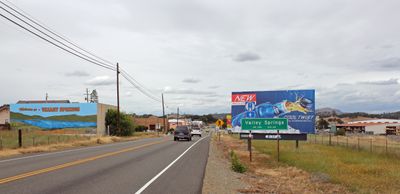
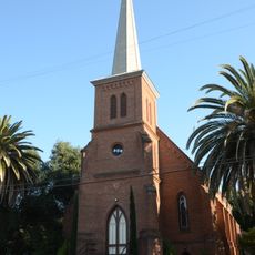
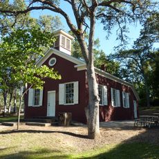
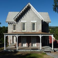
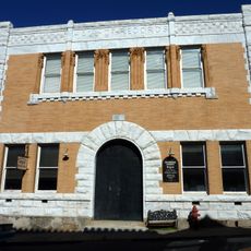
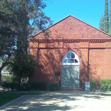
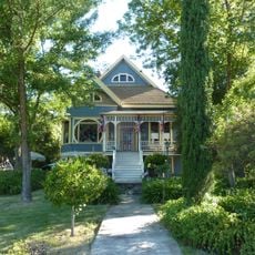
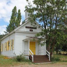
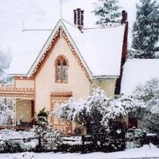
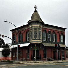
Valley Springs, Historical census place in Calaveras County, United States.

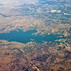
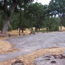
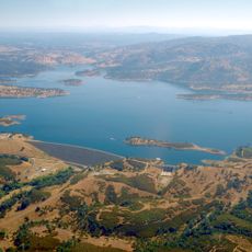
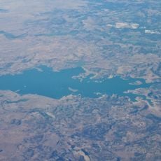
Valley Springs is a settlement in the Sierra Nevada foothills of Calaveras County, situated in the rolling terrain of northern California. The area comprises several distinct communities, each with its own postal identity.

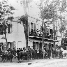
The San Joaquin & Sierra Nevada Railroad reached the area in 1885, connecting it more quickly to San Francisco and Sacramento. This rail line transformed the region's economy and opened new trading paths.

Native American tribes of the Miwok and Yokuts nations once gathered acorns and traded in this region, leaving a lasting mark on the land. Their presence echoes in local place names and stories that residents and visitors still share today.

The area is best explored by car, as it spans several communities across hilly terrain with distances between neighborhoods. Visitors should allow time to move between different sections and get a feel for the full settlement.

A Southern Pacific railroad extension brought the Calaveras Cement Company to the region, which supplied materials for major construction projects across California. This cement production became a significant economic driver for the area's growth.

The community of curious travelers

AroundUs brings together thousands of curated places, local tips, and hidden gems, enriched daily by 60,000 contributors worldwide.

Start exploring
Location
Elevation above the sea
204 m
GPS coordinates
38.19167,-120.82917
Latest update
December 7, 2025 19:25
Around this place
Preston School of Industry
United States of America

Preston School of Industry

21 km
Camanche Reservoir
United States of America

Camanche Reservoir

15.4 km
Murphys Hotel
United States of America

Murphys Hotel

32.3 km
Indian Grinding Rock State Historic Park
United States of America

Indian Grinding Rock State Historic Park

30.6 km
New Hogan Lake
United States of America

New Hogan Lake

4.8 km
Mercer Caverns
United States of America

Mercer Caverns

31.1 km
California Caverns
United States of America

California Caverns

28.1 km
Angels Hotel
United States of America

Angels Hotel

28.3 km
Pardee Dam
United States of America

Pardee Dam

7.5 km
Camanche Dam
United States of America

Camanche Dam

17.3 km
Knight Foundry
United States of America

Knight Foundry

22.8 km
Salt Spring Valley Reservoir
United States of America

Salt Spring Valley Reservoir

18.7 km
St. George Hotel
United States of America

St. George Hotel

32.9 km
Community Methodist Church of Ione
United States of America

Community Methodist Church of Ione

19.8 km
Altaville Grammar School
United States of America

Altaville Grammar School

26.3 km
Thorn House
United States of America

Thorn House

13.2 km
Calaveras County Courthouse
United States of America

Calaveras County Courthouse

13.1 km
D. Stewart Company Store
United States of America

D. Stewart Company Store

20.1 km
Harmony Grove Church
United States of America

Harmony Grove Church

30.8 km
John J. Snyder House
United States of America

John J. Snyder House

12.6 km
Douglas Flat School
United States of America

Douglas Flat School

34 km
Sam Choy Brick Store
United States of America

Sam Choy Brick Store

28.9 km
Copperopolis Congregational Church
United States of America

Copperopolis Congregational Church

28.9 km
Utica Mansion
United States of America

Utica Mansion

28.5 km
Murphys Grammar School
United States of America

Murphys Grammar School

33.2 km
Scully Ranch
United States of America

Scully Ranch

21.3 km
William J. Paugh House
United States of America

William J. Paugh House

18.5 km
Locke's Meat Market
United States of America

Locke's Meat Market

28.2 km
Show the full map
Reviews
Share your experience

No review yet

Discussions
Start a discussion...

No discussion yet

« Valley Springs - Historical census place in Calaveras County, United States » is provided by Around Us (aroundus.com). Images and texts are derived from Wikimedia project under a Creative Commons license. You are allowed to copy, distribute, and modify copies of this page, under the conditions set by the license, as long as this note is clearly visible.

Discover hidden gems everywhere you go!

From secret cafés to breathtaking viewpoints, skip the crowded tourist spots and find places that match your style. Our app makes it easy with voice search, smart filtering, route optimization, and insider tips from travelers worldwide. Download now for the complete mobile experience.

Around Us App Screenshot

A unique approach to discovering new places

Le Figaro

All the places worth exploring

France Info

A tailor-made excursion in just a few clicks

20 Minutes

Around Us
Travel Guide & Maps
Download

Send to your phone

QR Code
1

Open the camera app on your mobile.

2

Point at the QR code with your camera. A notification will appear.

3

Tap the notification to open the link.