Navarro River Redwoods State Park, State park in Mendocino County, United States.
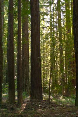
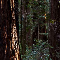
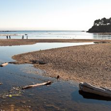
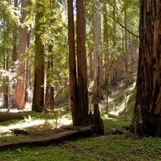
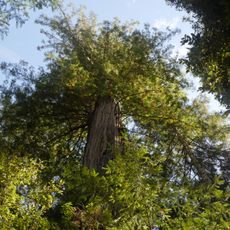
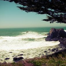
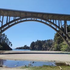
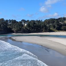
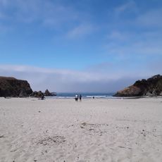
Navarro River Redwoods State Park is a large forested area with tall redwood trees that stretches for miles along a winding road. The river winds through the woodland and creates access points for water activities and various walking trails.
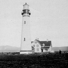
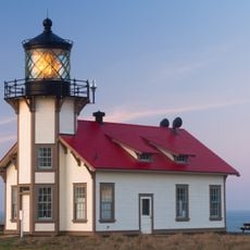
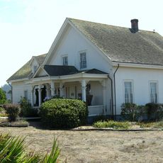
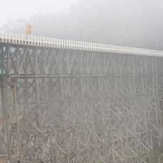
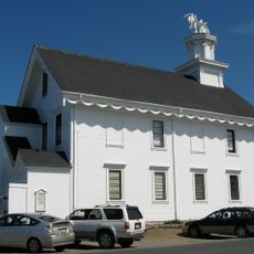
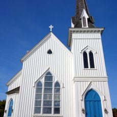
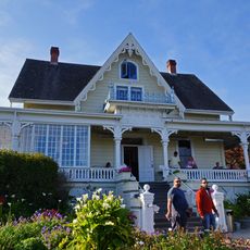
European settlers arrived in the 1800s and began using the forests for lumber, which shaped the land for many years. This period of activity left behind buildings and structures that visitors can see today.
The remaining mill buildings and structures show how logging shaped daily life here and connected the river to the broader economy of the region. These remnants reflect the work and skills of people who depended on this land.
The main road passes through the park, making it easy to explore and find activities along the way. Parking areas are spread throughout, giving visitors multiple starting points for hiking or accessing the river.
In several sections, the trees create a natural roof over the road, forming tunnel-like passages that make driving feel enclosed within the forest. This creates a memorable experience that many visitors come specifically to see.
The community of curious travelers
AroundUs brings together thousands of curated places, local tips, and hidden gems, enriched daily by 60,000 contributors worldwide.