
Sutherlin, city in Oregon, USA
Location: Douglas County
Inception: 1911
Elevation above the sea: 160 m
Website: http://ci.sutherlin.or.us
GPS coordinates: 43.39028,-123.31139
Latest update: March 2, 2025 20:15


Wildlife Safari
29.2 km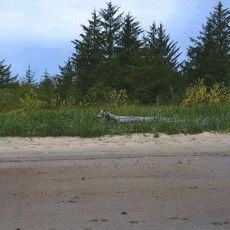
Fort Umpqua
34.2 km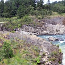
Colliding Rivers
19.8 km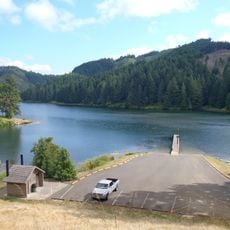
Cooper Creek Reservoir
2.6 km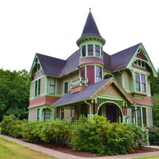
Charles and Anna Drain House
30 km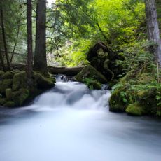
North Umpqua Trail
25.8 km
Methodist Episcopal Church South
20.6 km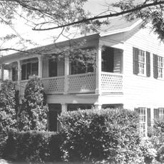
Floed–Lane House
20 km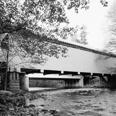
Horse Creek Bridge
40.9 km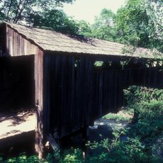
Roaring Camp Bridge
32.2 km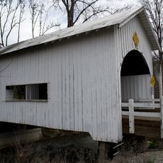
Neal Lane Bridge
41.7 km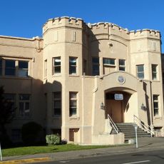
Roseburg National Guard Armory
20.4 km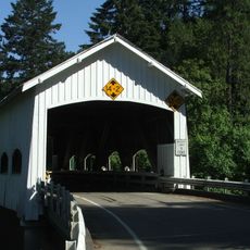
Rochester Covered Bridge
4.4 km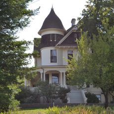
Judge James Watson Hamilton House
20.6 km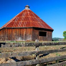
James Wimer Octagonal Barn
28.4 km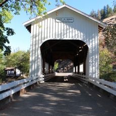
Cavitt Creek Bridge
28.5 km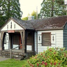
Glide Ranger Station
19.9 km
U.S. Post Office
20.5 km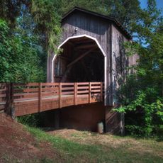
Pass Creek Bridge
30.1 km
Stearns Hardware Store
3.7 km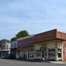
Oakland Historic District
3.8 km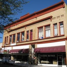
Kohlhagen Building
20.4 km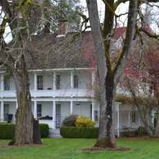
Charles Applegate House
24.8 km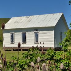
English Settlement School
11.5 km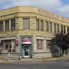
Sutherlin Bank Building
49 m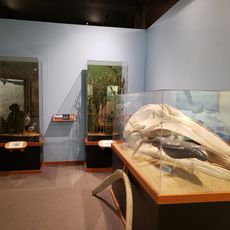
Douglas County Museum
22.2 km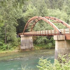
Tioga Bridge
33.5 km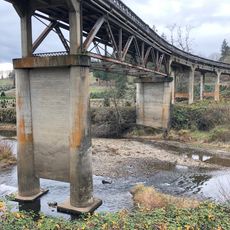
Oakland Bridge
4 kmVisited this place? Tap the stars to rate it and share your experience / photos with the community! Try now! You can cancel it anytime.
Discover hidden gems everywhere you go!
From secret cafés to breathtaking viewpoints, skip the crowded tourist spots and find places that match your style. Our app makes it easy with voice search, smart filtering, route optimization, and insider tips from travelers worldwide. Download now for the complete mobile experience.

A unique approach to discovering new places❞
— Le Figaro
All the places worth exploring❞
— France Info
A tailor-made excursion in just a few clicks❞
— 20 Minutes