Enable Location

We need your location to show you interesting places around you

Discover nearby places

Find interesting locations and hidden gems around you

Precise directions

Get accurate directions and distances to places

Your location is never shared with other users. It's only used when you tap the location button.

Pacific County

Log in to your account

Start exploring — it's free

Trusted by 61,525 travelers worldwide

Continue with Google
Continue with Apple
or

We will send you a code to connect

By continuing, you accept our Terms and Conditions and our Privacy Policy

Check your inbox

We've sent a pincode in your inbox. Please enter the code below.

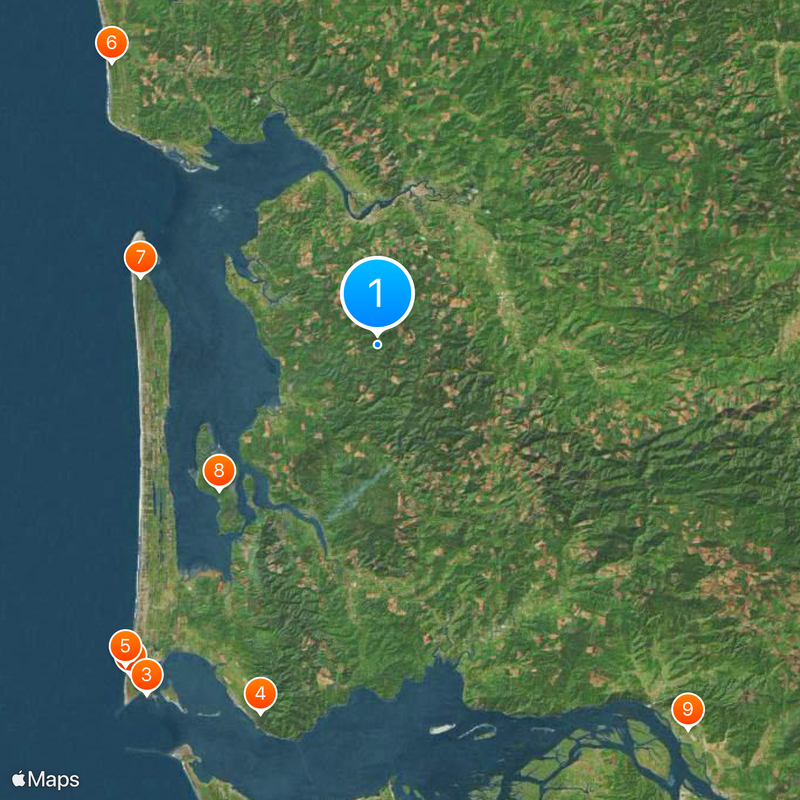
Pacific County, County administrative division in Washington State, US

Description

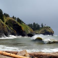
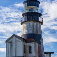
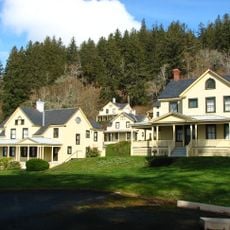
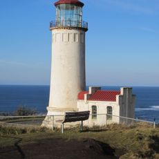
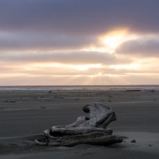
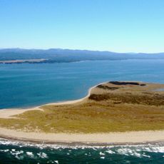
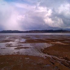
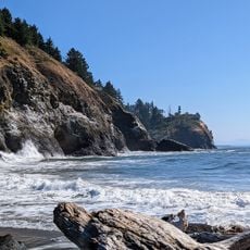
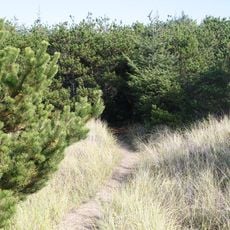
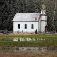
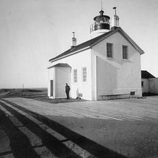
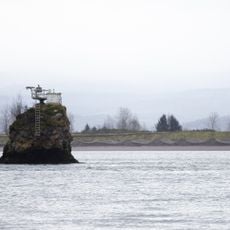
Pacific County stretches along Washington State's western coast and features dense forests, river mouths, and long sandy beaches. The landscape offers a mix of coastal areas, wetlands, and forested terrain across its territory.

History

The Washington Territory legislature created the county on April 24, 1854, marking the transition from Indigenous settlements to formal local administration. This establishment allowed for organized settlement and development of the region.

Culture

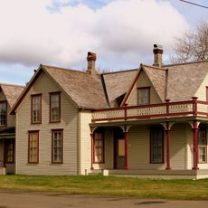
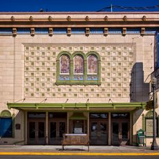
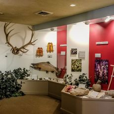
The communities here maintain strong ties to fishing, logging, and Native American heritage visible in local museums and community gatherings. These traditions continue to shape how people live and work in the region today.

Practical

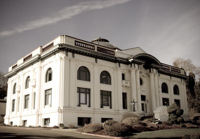
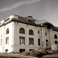
The Pacific County Administration Building in South Bend provides access to essential services including property records, permits, and tax payments for residents and visitors. Most interactions with county offices happen in person or online.

Did you know?

The area manages one of the largest shellfish farming zones in the United States with extensive oyster and clam operations. This industry remains a cornerstone of the local economy and provides significant employment.

Location
Inception
1851
Capital city
South Bend
Shares border with
Grays Harbor County, Lewis County, Wahkiakum County, Clatsop County
GPS coordinates
46.56000,-123.78000
Latest update
December 20, 2025 12:49

AroundUs brings together thousands of curated places, local tips, and hidden gems, enriched daily by 60,000 contributors worldwide. Discover all places nearby (Washington).

Around this place
Cape Disappointment State Park
United States of America

Cape Disappointment State Park

37.4 km
Cape Disappointment Light
United States of America

Cape Disappointment Light

37.9 km
Fort Columbia State Park
United States of America

Fort Columbia State Park

35 km
North Head Light
United States of America

North Head Light

37 km
Grayland Beach State Park
United States of America

Grayland Beach State Park

34.9 km
Leadbetter Point State Park
United States of America

Leadbetter Point State Park

22.3 km
Willapa National Wildlife Refuge
United States of America

Willapa National Wildlife Refuge

19.5 km
Julia Butler Hansen Refuge for the Columbian White-Tailed Deer
United States of America

Julia Butler Hansen Refuge for the Columbian White-Tailed Deer

44.7 km
Waikiki Beach
United States of America

Waikiki Beach

37.7 km
Grays River Covered Bridge
United States of America

Grays River Covered Bridge

27.5 km
United States of America

Clark's Tree

30.1 km
Pacific Pines State Park
United States of America

Pacific Pines State Park

21.8 km
Columbia River Quarantine Station
United States of America

Columbia River Quarantine Station

32.4 km
Chinook Point
United States of America

Chinook Point

36 km
United States of America

Willie Keil's Grave State Park Heritage Site

13.1 km
Klipsan Beach Life Saving Station
United States of America

Klipsan Beach Life Saving Station

23.4 km
The Wreckage
United States of America

The Wreckage

22.3 km
Deep River Pioneer Lutheran Church
United States of America

Deep River Pioneer Lutheran Church

23.5 km
Willapa Bay Light
United States of America

Willapa Bay Light

28.4 km
Pillar Rock
United States of America

Pillar Rock

36.7 km
Colbert House
United States of America

Colbert House

34.1 km
Raymond Theatre
United States of America

Raymond Theatre

14.6 km
Harlows Creek
United States of America

Harlows Creek

37.1 km
World Kite Museum
United States of America

World Kite Museum

32 km
Columbia Pacific Heritage Museum
United States of America

Columbia Pacific Heritage Museum

34.5 km
Pacific County Courthouse
United States of America

Pacific County Courthouse

11.7 km
United States of America

Altoona Hill

33.6 km
United States of America

KM Mountain

31.9 km
Show the full map
Administrative divisions
« Pacific County - County administrative division in Washington State, US » is provided by Around Us (aroundus.com). Images and texts are derived from Wikimedia project under a Creative Commons license. You are allowed to copy, distribute, and modify copies of this page, under the conditions set by the license, as long as this note is clearly visible.

Discover hidden gems everywhere you go!

From secret cafés to breathtaking viewpoints, skip the crowded tourist spots and find places that match your style. Our app makes it easy with voice search, smart filtering, route optimization, and insider tips from travelers worldwide. Download now for the complete mobile experience.

Around Us App Screenshot

A unique approach to discovering new places

Le Figaro

All the places worth exploring

France Info

A tailor-made excursion in just a few clicks

20 Minutes

Around Us
Travel Guide & Maps
Download

Send to your phone

QR Code
1

Open the camera app on your mobile.

2

Point at the QR code with your camera. A notification will appear.

3

Tap the notification to open the link.