Alameda Ridge, Geological formation in Northeast Portland, United States.
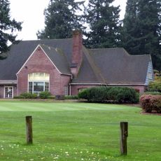
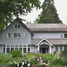
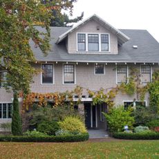
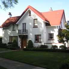
Alameda Ridge is a geological formation that runs through residential neighborhoods of Northeast Portland, creating elevated terrain with varying slopes. The southern hillside offers open views toward downtown Portland and contains some of the city's higher-elevation residential properties.
The ridge formed during ancient flooding events that covered Portland and deposited layers of sediment. These geological processes created the elevated terrain that now defines the area's topography and influenced how it developed.
The neighborhoods along the ridge feature a distinctive character shaped by public staircase networks that connect different elevation levels. These pathways define how residents and visitors move through the area in their daily routines.
The street layout follows natural contours rather than a regular grid, which can make navigation feel unfamiliar at first; using landmarks helps with orientation. Sturdy footwear is wise, especially when using public staircases that connect different elevation levels throughout the neighborhoods.
The street pattern deviates notably from Portland's standard grid system, adjusted specifically to follow the natural landform instead of imposing a rigid layout. Exploring this unconventional arrangement reveals how urban design can adapt to natural geography.
The community of curious travelers
AroundUs brings together thousands of curated places, local tips, and hidden gems, enriched daily by 60,000 contributors worldwide.