
Ferrier Peak, mountain
Location: Lewis County
Location: Washington
Elevation above the sea: 718 m
GPS coordinates: 46.40306,-123.21333
Latest update: June 6, 2025 16:23
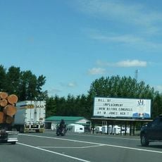
Uncle Sam billboard
32.7 km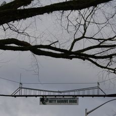
Nutty Narrows Bridge
36.1 km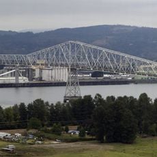
Lewis and Clark Bridge
38.4 km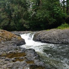
Rainbow Falls State Park
25.4 km
Seaquest State Park
32.9 km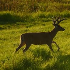
Julia Butler Hansen Refuge for the Columbian White-Tailed Deer
23.2 km
Great Vow Zen Monastery
28.1 km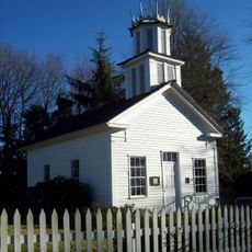
Claquato Church
30.4 km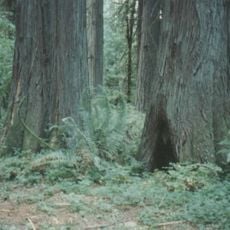
Lewis & Clark State Park
33.4 km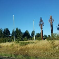
Gospodor Monument Park
26 km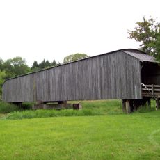
Grays River Covered Bridge
28.7 km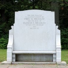
Bradley State Scenic Viewpoint
31 km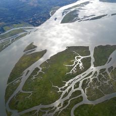
Lewis and Clark National Wildlife Refuge
38.5 km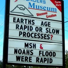
Mount Saint Helens Creation Center
27.4 km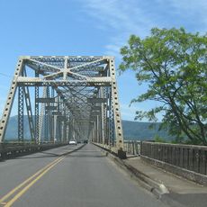
Julia Butler Hansen Bridge
26.6 km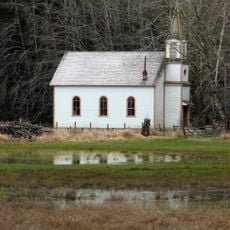
Deep River Pioneer Lutheran Church
36.3 km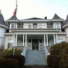
Thomas J. Flippin House
33.7 km
Holy Cross Polish National Catholic Church
19.5 km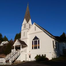
Pioneer Church
25.9 km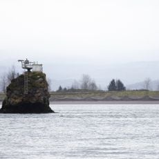
Pillar Rock
33 km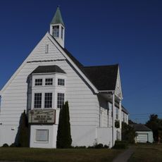
Longview Community Church-Saint Helen's Addition
36.7 km
Harlows Creek
30.2 km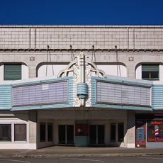
Chehalis Theatre
34.7 km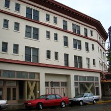
Columbia Theatre for the Performing Arts
36.3 km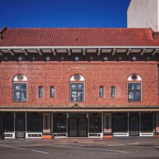
St. Helens Theatre
34.6 km
Dibblees Beach
36.2 km
Jones Beach
30.3 km
Mills Building
36.6 kmReviews
Visited this place? Tap the stars to rate it and share your experience / photos with the community! Try now! You can cancel it anytime.
Discover hidden gems everywhere you go!
From secret cafés to breathtaking viewpoints, skip the crowded tourist spots and find places that match your style. Our app makes it easy with voice search, smart filtering, route optimization, and insider tips from travelers worldwide. Download now for the complete mobile experience.

A unique approach to discovering new places❞
— Le Figaro
All the places worth exploring❞
— France Info
A tailor-made excursion in just a few clicks❞
— 20 Minutes