
Sugarbowl Butte, mountain in Klickitat County, Washington state, United States of America
Location: Klickitat County
Elevation above the sea: 900 m
GPS coordinates: 45.99179,-121.59203
Latest update: May 2, 2025 22:52
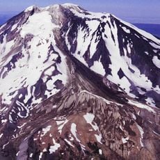
Mount Adams
24.7 km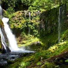
Panther Creek Falls
22.9 km
Cheese Cave
3.3 km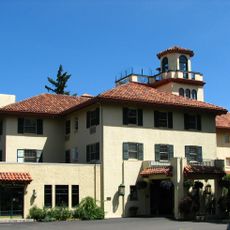
Columbia Gorge Hotel
31.3 km
Indian Heaven Wilderness
15.1 km
Mount Adams Wilderness
25.2 km
Conboy Lake National Wildlife Refuge
21.5 km
Mount Adams Recreation Area
22.8 km
Spring Creek Hatchery State Park
29.6 km
Lemei Rock
13.3 km
Adams Glacier
25.9 km
Butler Bank
32.1 km
Whitcomb Cabin
19.5 km
Mazama Glacier (Mount Adams)
23 km
Avalanche Glacier
22.4 km
Lyman Glacier
26.3 km
Edward J. DeHart House
31.2 km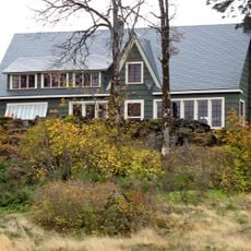
Cliff Lodge
31.5 km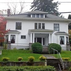
Orrin B. Hartley House
32.1 km
Davidson–Childs House
32.1 km
Pinnacle Glacier
24.4 km
Hood River Bridge
31.4 km
Ernest S. and Clara C. Colby House
31.8 km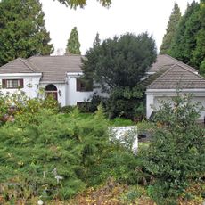
Robert and Mabel Loomis House
32 km
Trout Lake Tourist Club
4.3 km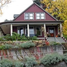
John C. Duckwall House
32 km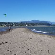
Marina Beach
31.5 km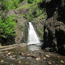
Dog Creek Falls
31.8 kmReviews
Visited this place? Tap the stars to rate it and share your experience / photos with the community! Try now! You can cancel it anytime.
Discover hidden gems everywhere you go!
From secret cafés to breathtaking viewpoints, skip the crowded tourist spots and find places that match your style. Our app makes it easy with voice search, smart filtering, route optimization, and insider tips from travelers worldwide. Download now for the complete mobile experience.

A unique approach to discovering new places❞
— Le Figaro
All the places worth exploring❞
— France Info
A tailor-made excursion in just a few clicks❞
— 20 Minutes