
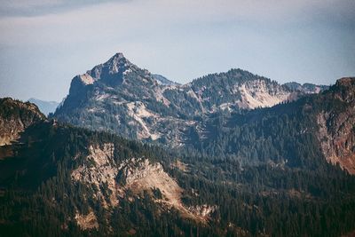
Dewey Peak, mountain in Washington (state), United States
Location: Pierce County
Location: Yakima County
GPS coordinates: 46.84167,-121.48500
Latest update: March 7, 2025 10:25
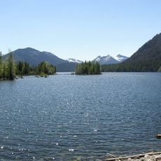
Bumping Lake
12.7 km
Norse Peak Wilderness
13 km
Silver Falls
11.4 km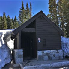
Tipsoo Lake Comfort Station
4.1 km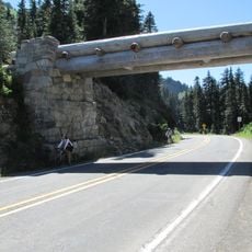
Chinook Pass Entrance Arch
4.1 km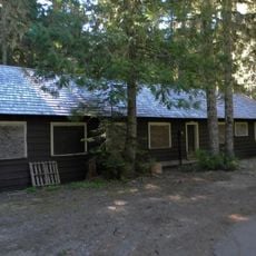
White River Mess Hall and Dormitory
8.5 km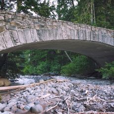
White River Bridge
11.9 km
Shriner Peak Fire Lookout
4.7 km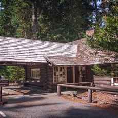
White River Entrance
8.6 km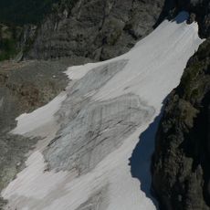
Sarvant Glacier
10.3 km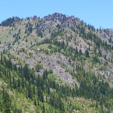
Chinook Peak
6.5 km
Three Lakes Patrol Cabin
8.8 km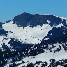
Banshee Peak
10.4 km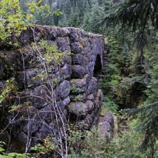
Deer Creek Bridge
2.8 km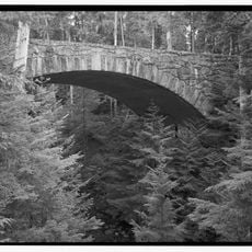
Klickitat Creek Bridge
8.5 km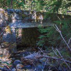
Dry Creek Bridge
8.5 km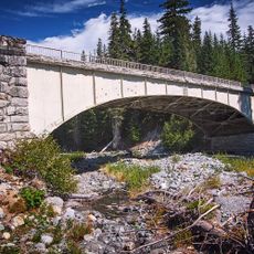
Fryingpan Creek Bridge
10.8 km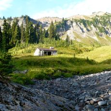
Indian Bar Trail Shelter
11.9 km
Ohanapecosh Comfort Station No. O-303
13.3 km
Ohanapecosh Comfort Station No. O-302
13.1 km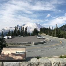
Sunrise Point
11.5 km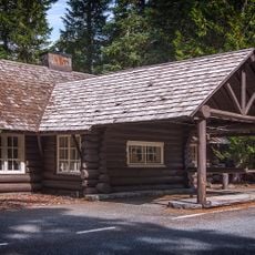
White River Entrance Ranger Station
8.6 km
Ohanapecosh Campground
13.2 km
Ohanapecosh Visitor Center
13.3 km
Ohanapecosh Campground Amphitheater
13.1 km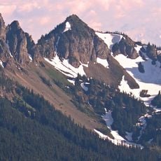
Barrier Peak
7.3 km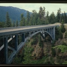
Deadwood Creek Bridge
8.2 km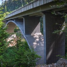
Deadwood Creek Bridge
8.2 kmReviews
Visited this place? Tap the stars to rate it and share your experience / photos with the community! Try now! You can cancel it anytime.
Discover hidden gems everywhere you go!
From secret cafés to breathtaking viewpoints, skip the crowded tourist spots and find places that match your style. Our app makes it easy with voice search, smart filtering, route optimization, and insider tips from travelers worldwide. Download now for the complete mobile experience.

A unique approach to discovering new places❞
— Le Figaro
All the places worth exploring❞
— France Info
A tailor-made excursion in just a few clicks❞
— 20 Minutes