Chest opened
+${chestReward.xp} XP
Explorer
NOUVEAU ×${chestReward.collectible.quantity}
tapez pour fermer

See the monuments around you in AR Open chests in the app

Around Us is built for your phone — point your camera at the streets and discover the monuments and places around you in augmented reality. Around Us is built for your phone — chests unlock when you walk, explore and capture nearby places.

Enable Location

We need your location to show you interesting places around you

Discover nearby places

Find interesting locations and hidden gems around you

Precise directions

Get accurate directions and distances to places

Your location is never shared with other users. It's only used when you tap the location button.

Kopachuck State Park

Log in to your account

Start exploring — it's free

Trusted by 85,405 travelers worldwide

Continue with Google
Continue with Apple
or

We will send you a code to connect

By continuing, you accept our Terms and Conditions and our Privacy Policy

Check your inbox

We've sent a pincode in your inbox. Please enter the code below.

Kopachuck State Park
Discussion Reviews 1 Photos
3.4k Popularity

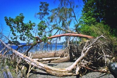
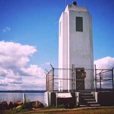
Kopachuck State Park, Marine park in Gig Harbor, United States

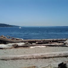
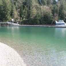
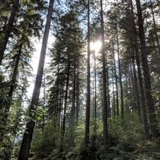
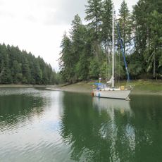
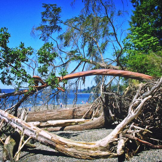
Kopachuck State Park is a marine park along Henderson Bay in Washington that spans about 109 acres with over 5,600 feet of saltwater shoreline. The grounds feature beaches, forest areas, and walking trails with views toward the water.

The Puyallup and Nisqually tribes used this location for generations as a seasonal fishing and clamming ground. Its transition to a state park in modern times helped preserve the landscape while it shifted from a tribal resource area to public recreation space.

The name comes from Chinook Jargon trade language, where Kopa means 'at' and chuck translates to 'water'. This linguistic blend reflects the trading connections and language heritage of the coastal area.

The park is open year-round, but conditions vary by season. Visitors should bring weather-resistant clothing since rain and moisture are common throughout the year.

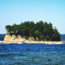
A small island called Cutts Island lies about half a mile offshore and is only reachable by boat. The location once held burial traditions where canoes were placed in trees as part of tribal practices.

The community of curious travelers

AroundUs brings together thousands of curated places, local tips, and hidden gems, enriched daily by 60,000 contributors worldwide.
Start exploring
Location
Address
10712 56th Street N.W., Gig Harbor, WA 98335
GPS coordinates
47.31639,-122.67833
Latest update
August 30, 2026 12:58
Around this place
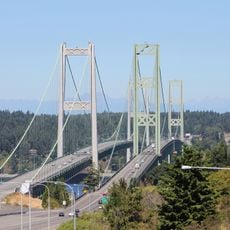
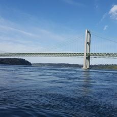
Tacoma Narrows Bridge
United States of America

Tacoma Narrows Bridge

6.9 mi
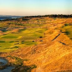
Chambers Bay Golf Course
United States of America

Chambers Bay Golf Course

9 mi
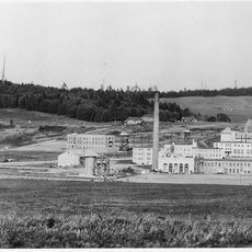
McNeil Island Corrections Center
United States of America

McNeil Island Corrections Center

7 mi
Tacoma Narrows Bridge
United States of America

Tacoma Narrows Bridge

6.8 mi
Point Defiance Park
United States of America

Point Defiance Park

7 mi
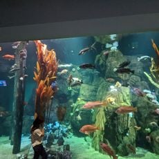
Point Defiance Zoo & Aquarium
United States of America

Point Defiance Zoo & Aquarium

7.4 mi
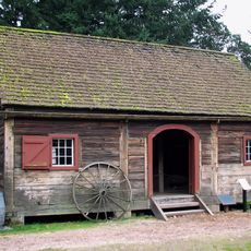
Fort Nisqually
United States of America

Fort Nisqually

6.9 mi
Fort Steilacoom
United States of America

Fort Steilacoom

10.9 mi
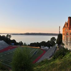
Stadium Bowl
United States of America

Stadium Bowl

11.3 mi
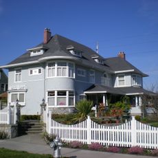
William Ross Rust House
United States of America

William Ross Rust House

10.8 mi
Penrose Point State Park
United States of America

Penrose Point State Park

5 mi
Cutts Island State Park
United States of America

Cutts Island State Park

0.5 mi
Joemma Beach State Park
United States of America

Joemma Beach State Park

8.8 mi
Jarrell Cove State Park
United States of America

Jarrell Cove State Park

9.9 mi
Browns Point Light
United States of America

Browns Point Light

11 mi
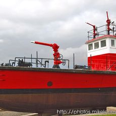
Fireboat No. 1
United States of America

Fireboat No. 1

9.6 mi
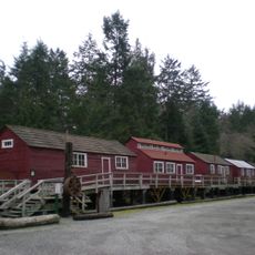
Camp 6 Logging Museum
United States of America

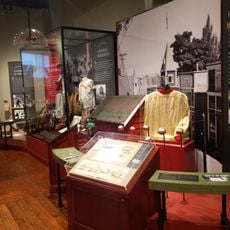
Camp 6 Logging Museum

7.1 mi
Harbor History Museum
United States of America

Harbor History Museum

4.2 mi
Rhodes House
United States of America

Rhodes House

10.9 mi
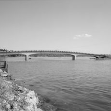
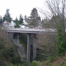
Purdy Bridge
United States of America

Purdy Bridge

5.2 mi
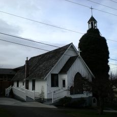
St. Peter's Episcopal Church
United States of America

St. Peter's Episcopal Church

10.5 mi
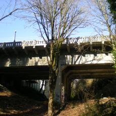
North 21st Street Bridge
United States of America

North 21st Street Bridge

10.3 mi
North 23rd Street Bridge
United States of America

North 23rd Street Bridge

10.3 mi
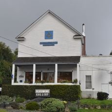
Burton Masonic Hall
United States of America

Burton Masonic Hall

11.2 mi
Winnifred Street Bridge
United States of America

Winnifred Street Bridge

7.9 mi
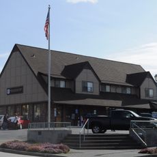
Fox Island School
United States of America

Fox Island School

5.1 mi
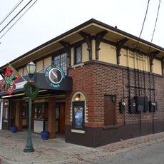
Blue Mouse Theatre, North End
United States of America

Blue Mouse Theatre, North End

9.4 mi
Steilacoom Historic District
United States of America

Steilacoom Historic District

10.7 mi
Show the full map
Reviews
Share your experience

No review yet

Discussions
Start a discussion...

No discussion yet

« Kopachuck State Park - Marine park in Gig Harbor, United States » is provided by Around Us (aroundus.com). Images and texts are derived from Wikimedia project under a Creative Commons license. You are allowed to copy, distribute, and modify copies of this page, under the conditions set by the license, as long as this note is clearly visible.

Discover hidden gems everywhere you go!

From secret cafés to breathtaking viewpoints, skip the crowded tourist spots and find places that match your style. Our app makes it easy with voice search, smart filtering, route optimization, and insider tips from travelers worldwide. Download now for the complete mobile experience.
Around Us App Screenshot

A unique approach to discovering new places

Le Figaro

All the places worth exploring

France Info

A tailor-made excursion in just a few clicks

20 Minutes

Around Us
Travel Guide & Maps
Download

Send to your phone

QR Code
1

Open the camera app on your mobile.

2

Point at the QR code with your camera. A notification will appear.

3

Tap the notification to open the link.