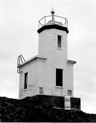
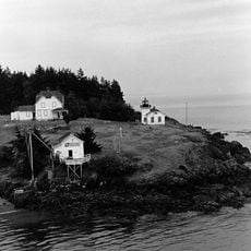
Cattle Point Light, Concrete lighthouse in San Juan County, US.
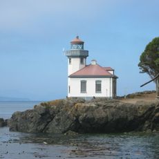
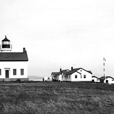
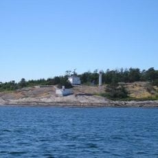
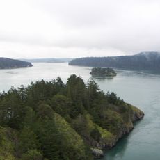
Cattle Point Light is an octagonal concrete tower standing at the southeastern tip of San Juan Island where Haro Strait and San Juan Channel meet. This 34-foot structure rises above the surrounding landscape and serves as a clear navigation point for vessels in this busy maritime region.
The first navigational aid appeared here in 1888 as a simple lantern tended by a former American Camp soldier. The site later developed into a key navigation point for shipping traffic in this strait.
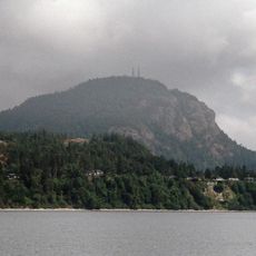
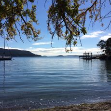
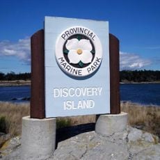
The lighthouse marks the southern boundary of San Juan Islands National Monument and represents maritime navigation heritage in the Pacific Northwest. Visitors can experience how shipping routes shaped the development of this island community.
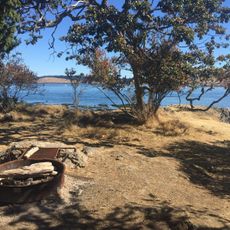
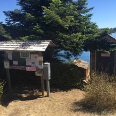
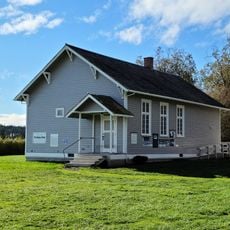
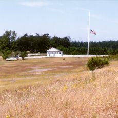
The lighthouse is accessible via an interpretive trail from Cattle Point Natural Resources Conservation Area, with parking near the former powerhouse building. The path winds through natural landscape and provides views of the strait before reaching the tower.
In 1921 the U.S. Navy installed a radio compass station here to help ships determine their position during poor visibility. This technology was groundbreaking for maritime safety in this busy waterway.
The community of curious travelers
AroundUs brings together thousands of curated places, local tips, and hidden gems, enriched daily by 60,000 contributors worldwide.