Enable Location

We need your location to show you interesting places around you

Discover nearby places

Find interesting locations and hidden gems around you

Precise directions

Get accurate directions and distances to places

Your location is never shared with other users. It's only used when you tap the location button.

Log in to your account

Start exploring — it's free

Trusted by 62,384 travelers worldwide

Continue with Google
Continue with Apple
or

We will send you a code to connect

By continuing, you accept our Terms and Conditions and our Privacy Policy

Check your inbox

We've sent a pincode in your inbox. Please enter the code below.

Anacortes Community Forest Lands

Anacortes Community Forest Lands, Protected area in Anacortes, United States.

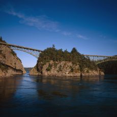
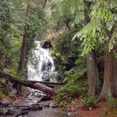
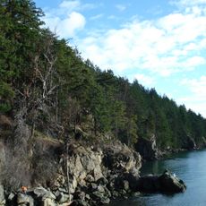
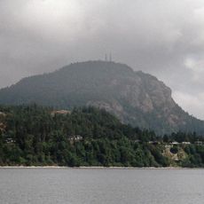
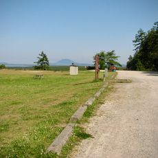
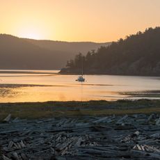
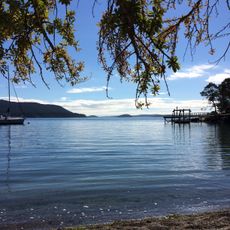
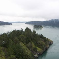
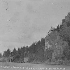
Anacortes Community Forest Lands is a protected forest covering nearly 3,000 acres on Fidalgo Island, with Mount Erie serving as its highest point. The landscape includes dense woodlands, clearings, and areas that offer views across the island and surrounding waters.

The forest began in 1919 when the city acquired land and infrastructure from a power company and transformed it into public forest. This purchase marked the start of community-managed land that has remained under public stewardship ever since.

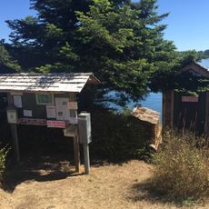
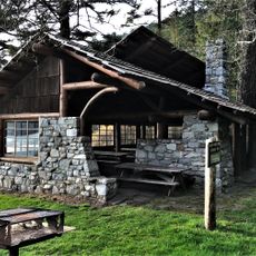
Local residents and visitors gather on these trails throughout the year, making the forest a social hub where people connect with nature and each other. The land reflects the community's commitment to keeping this green space open and accessible for everyone.

The forest has over 50 miles of trails designed for different activities like hiking, cycling, and horseback riding. Plan your visit during milder months when trails are in good condition and easy to navigate.

Local activists once blocked logging plans here, saving what is now a thriving forest where people gather year-round. The effort shows how community action can protect wild places for future generations.

The community of curious travelers

AroundUs brings together thousands of curated places, local tips, and hidden gems, enriched daily by 60,000 contributors worldwide.

Start exploring
Location
GPS coordinates
48.46770,-122.62900
Latest update
December 13, 2025 17:00
Around this place
Show the full map
« Anacortes Community Forest Lands - Protected area in Anacortes, United States » is provided by Around Us (aroundus.com). Images and texts are derived from Wikimedia project under a Creative Commons license. You are allowed to copy, distribute, and modify copies of this page, under the conditions set by the license, as long as this note is clearly visible.

Discover hidden gems everywhere you go!

From secret cafés to breathtaking viewpoints, skip the crowded tourist spots and find places that match your style. Our app makes it easy with voice search, smart filtering, route optimization, and insider tips from travelers worldwide. Download now for the complete mobile experience.

Around Us App Screenshot

A unique approach to discovering new places

Le Figaro

All the places worth exploring

France Info

A tailor-made excursion in just a few clicks

20 Minutes

Around Us
Travel Guide & Maps
Download

Send to your phone

QR Code
1

Open the camera app on your mobile.

2

Point at the QR code with your camera. A notification will appear.

3

Tap the notification to open the link.