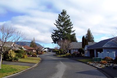
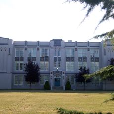
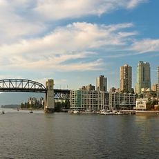
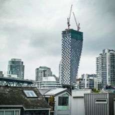
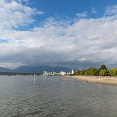
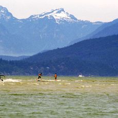
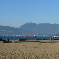
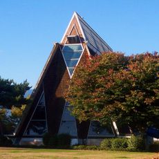
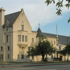
Arbutus Ridge, residential neighbourhood in Vancouver, British Columbia, Canada
Location: British Columbia
Location: Metro Vancouver Regional District
GPS coordinates: 49.25750,-123.17400
Latest update: March 4, 2025 07:42
Point Grey stəywəte:n̓ Secondary School
2.7 km
False Creek
3.9 km
Vancouver House
3.7 km
Lord Byng Secondary School
1.3 km
VanDusen Botanical Garden
3.6 km
St. Roch
3 km
Burrard Bridge
3.4 km
Kitsilano Beach
2.5 km
Museum of Vancouver
3 km
Granville Street Bridge
3.4 km
Pacific Spirit Regional Park
3.1 km
Spanish Banks
3.7 km
H. R. MacMillan Space Centre
3 km
British Columbia's Children's Hospital
3.8 km
Prince of Wales Secondary School
1.8 km
Jericho Beach
2.5 km
Vancouver Maritime Museum
2.9 km
Stanley Industrial Alliance Stage
2.6 km
Seaforth Armoury
2.6 km
Inukshuk
3.7 km
Engagement
3.6 km
Gate to the Northwest Passage
3.1 km
Numbers
4 km
Bessborough Armoury
1.7 km
Aberthau House
2.7 km
Congregation Schara Tzedeck
3.4 km
Redeemer Lutheran Church (Vancouver)
2.7 km
Granville Island Public Market
3.3 kmReviews
Visited this place? Tap the stars to rate it and share your experience / photos with the community! Try now! You can cancel it anytime.
Discover hidden gems everywhere you go!
From secret cafés to breathtaking viewpoints, skip the crowded tourist spots and find places that match your style. Our app makes it easy with voice search, smart filtering, route optimization, and insider tips from travelers worldwide. Download now for the complete mobile experience.
A unique approach to discovering new places❞
— Le Figaro
All the places worth exploring❞
— France Info
A tailor-made excursion in just a few clicks❞
— 20 Minutes