Chest opened
+${chestReward.xp} XP
Explorer
NOUVEAU ×${chestReward.collectible.quantity}
tapez pour fermer
Chest locked

Open chests in the app

Around Us is built for your phone — chests unlock when you walk, explore and capture nearby places.

Enable Location

We need your location to show you interesting places around you

Discover nearby places

Find interesting locations and hidden gems around you

Precise directions

Get accurate directions and distances to places

Your location is never shared with other users. It's only used when you tap the location button.

Summerland

Log in to your account

Start exploring — it's free

Trusted by 72,977 travelers worldwide

Continue with Google
Continue with Apple
or

We will send you a code to connect

By continuing, you accept our Terms and Conditions and our Privacy Policy

Check your inbox

We've sent a pincode in your inbox. Please enter the code below.

Discussion Reviews 1 Photos
12.7k Popularity

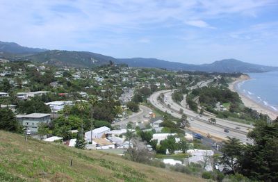
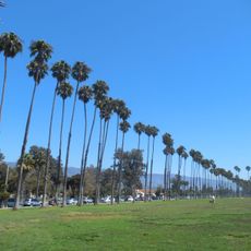
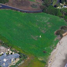
Summerland, Coastal residential area in Santa Barbara County, United States.

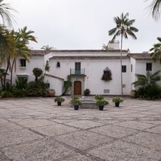
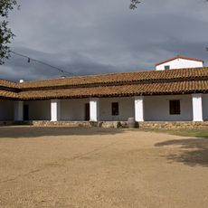
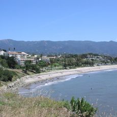
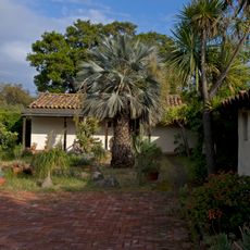
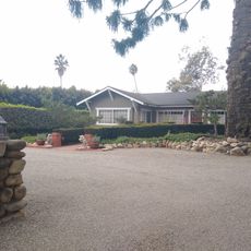
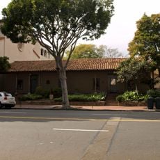
Summerland is a small residential community along the central California coast in Santa Barbara County. The settlement features a mix of older buildings and newer homes with local shops and services distributed throughout.

The community was established in 1883 as a spiritual settlement and underwent significant transformation following the discovery of oil deposits in the 1890s. This development reshaped the local economy and physical landscape.

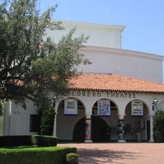
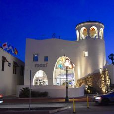
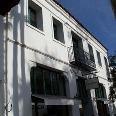
Creative professionals work in studios and galleries throughout the area, shaping the local character. This artistic presence connects to a broader coastal California creative culture that visitors encounter in shops and exhibition spaces.

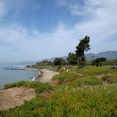
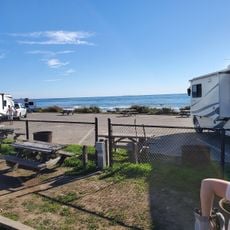
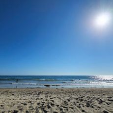
The area offers hiking opportunities at Toro Canyon Park and access to local beaches for swimming and surfing. Visitors can also find local wineries and restaurants throughout the community.

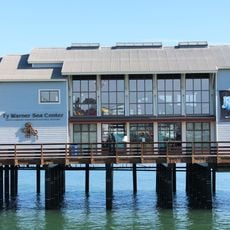
The location hosted the world's first offshore oil well, with wooden derricks built directly on the beach and extending onto piers. These late-19th-century structures marked a turning point in petroleum extraction technology.

The community of curious travelers

AroundUs brings together thousands of curated places, local tips, and hidden gems, enriched daily by 60,000 contributors worldwide.

Start exploring
GPS coordinates
34.42140,-119.59600
Latest update
December 7, 2025 20:43
Around this place
El Fureidis
United States of America

El Fureidis

5.1 km
Moreton Bay Fig Tree
United States of America

Moreton Bay Fig Tree

9 km
Presidio of Santa Barbara
United States of America

Presidio of Santa Barbara

9.3 km
Lotusland
United States of America

Lotusland

6.1 km
Santa Barbara Bowl
United States of America

Santa Barbara Bowl

9.1 km
Stearns Wharf
United States of America

Stearns Wharf

8.4 km
Santa Barbara Zoo
United States of America

Santa Barbara Zoo

6.3 km
Carpinteria State Beach
United States of America

Carpinteria State Beach

7.6 km
Casa del Herrero
United States of America

Casa del Herrero

4.1 km
Carpinteria State Beach
United States of America

Carpinteria State Beach

7.6 km
Santa Barbara Vedanta Temple
United States of America

Santa Barbara Vedanta Temple

3.1 km
Casa de la Guerra
United States of America

Casa de la Guerra

9.5 km
Lobero Theatre
United States of America

Lobero Theatre

9.6 km
Leadbetter Beach
United States of America

Leadbetter Beach

9.5 km
Rafael Gonzalez House
United States of America

Rafael Gonzalez House

9.2 km
Santa Barbara Museum of Natural History Sea Center
United States of America

Santa Barbara Museum of Natural History Sea Center

8.3 km
East Beach
United States of America

East Beach

7.9 km
Arlington Theatre
United States of America

Arlington Theatre

9.3 km
United States of America

Covarrubias Adobe

9.2 km
Santa Barbara Historical Museum
United States of America

Santa Barbara Historical Museum

9.3 km
Allan Herschell 3-Abreast Carousel
United States of America

Allan Herschell 3-Abreast Carousel

8.2 km
Shalawa Meadow, California
United States of America

Shalawa Meadow, California

3.7 km
The Wolf Museum of Exploration and Innovation
United States of America

The Wolf Museum of Exploration and Innovation

8.8 km
Paseo de la Guerra
United States of America

Paseo de la Guerra

9.6 km
Acacia Lodge
United States of America

Acacia Lodge

3.1 km
Hill-Carrillo Adobe
United States of America

Hill-Carrillo Adobe

9.7 km
Santa Claus Beach
United States of America

Santa Claus Beach

4.4 km
Santa Barbara Maritime Museum
United States of America

Santa Barbara Maritime Museum

9.2 km
Show the full map
Reviews
Share your experience

No review yet

Discussions
Start a discussion...

No discussion yet

« Summerland - Coastal residential area in Santa Barbara County, United States » is provided by Around Us (aroundus.com). Images and texts are derived from Wikimedia project under a Creative Commons license. You are allowed to copy, distribute, and modify copies of this page, under the conditions set by the license, as long as this note is clearly visible.

Discover hidden gems everywhere you go!

From secret cafés to breathtaking viewpoints, skip the crowded tourist spots and find places that match your style. Our app makes it easy with voice search, smart filtering, route optimization, and insider tips from travelers worldwide. Download now for the complete mobile experience.

Around Us App Screenshot

A unique approach to discovering new places

Le Figaro

All the places worth exploring

France Info

A tailor-made excursion in just a few clicks

20 Minutes

Around Us
Travel Guide & Maps
Download

Send to your phone

QR Code
1

Open the camera app on your mobile.

2

Point at the QR code with your camera. A notification will appear.

3

Tap the notification to open the link.