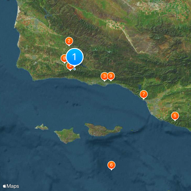
Santa Barbara County, County on the central coast in California, United States
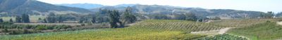
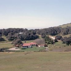
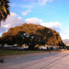
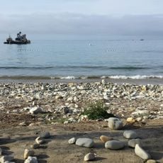
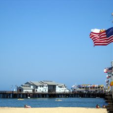
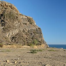
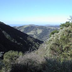
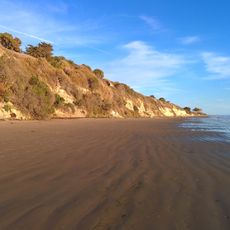
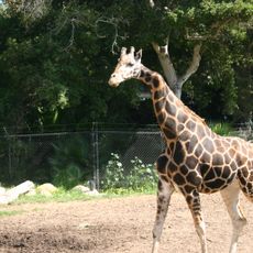
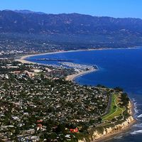
Santa Barbara County is an administrative district on the central coast of California that stretches from the Pacific Ocean to mountain ranges in the interior. The landscape shifts between beaches, vineyards, and agricultural valleys connected by narrow roads.
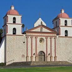
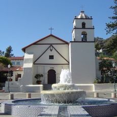
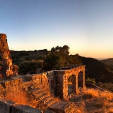
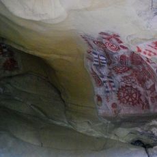
The region was organized as an administrative district in 1850 when California became a state, taking its name from a Spanish mission settlement. Centuries earlier, Chumash communities had lived here before Spanish Franciscans arrived in the 18th century.
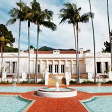
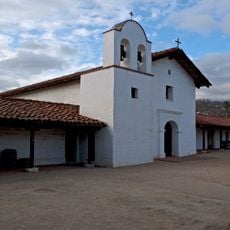
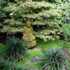
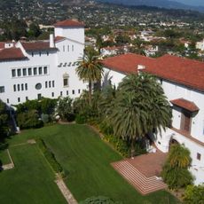
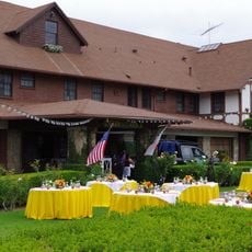
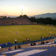
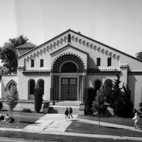
Spanish Colonial Revival architecture with white walls and red tile roofs shapes many public buildings and residential neighborhoods today. Local artists display their work in small galleries along main streets, while wineries in the backcountry offer tastings in rustic barn settings.
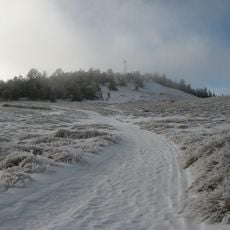
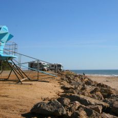
Coastal towns have comfortable temperatures throughout the year, while inland areas grow much warmer in summer. Narrow mountain roads can become slippery after rain and require careful driving.
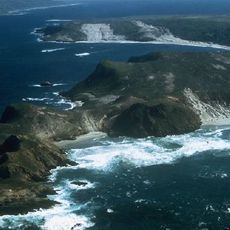
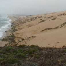
Four islands off the coast belong to a national park and form a marine reserve with animal species found nowhere else. Seals and seabirds use the rocky shores as breeding grounds, accessible only by boat.
The community of curious travelers
AroundUs brings together thousands of curated places, local tips, and hidden gems, enriched daily by 60,000 contributors worldwide.