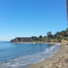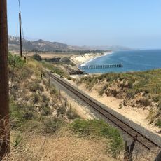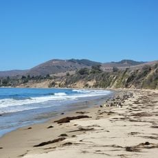
Gaviota State Park, State park along Pacific coastline in Santa Barbara County, United States.
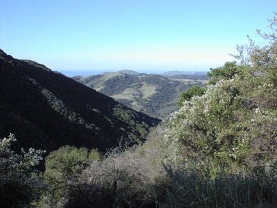
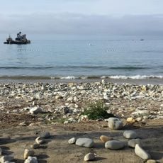
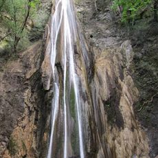
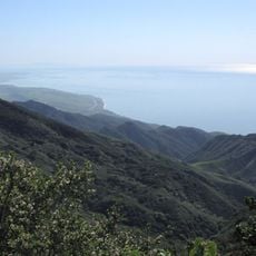
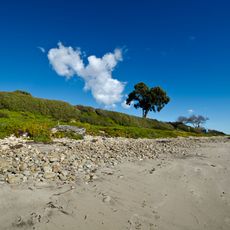
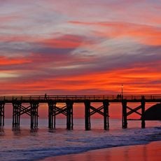
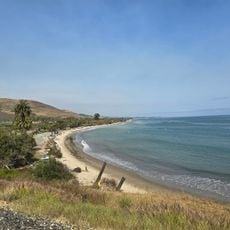
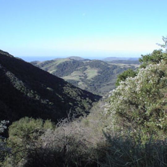
Gaviota State Park covers 2,787 acres (1,128 ha) from the Pacific shore to the crest of the Santa Ynez Mountains in southern Santa Barbara County. U.S. Route 101 bisects it at Gaviota Pass, a deep canyon cut through the range, dividing the park into two units. The western unit holds the beach and campground; the eastern unit holds trails, including one to a hot spring and Gaviota Peak at 2,458 feet (749 m).
The park was established in 1953 to protect a substantial portion of California's natural coastline. The landscape remained largely the same from the Spanish colonial era until modern times.
The park lies within the traditional territory of the Chumash people, who lived along this coast for thousands of years. The 2024 General Plan update includes an inventory of the park's archaeological assets, and the park's name comes from the Spanish word for seagull, gaviota.
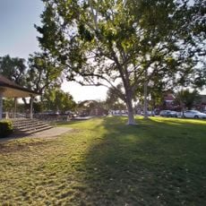
The campground provides 39 sites for recreational vehicles and tents, equipped with restrooms, showers, and picnic areas for day visitors. Hikers should bring sturdy footwear and prepare for changing weather conditions throughout the day.
The Gaviota Peak Trail ascends to the park's highest point at about 2,458 feet, where visitors may spot gray whales during their seasonal migration periods. This annual whale movement draws many observers hoping to witness this natural event from above.
The community of curious travelers
AroundUs brings together thousands of curated places, local tips, and hidden gems, enriched daily by 94,048 contributors worldwide.