Enable Location

We need your location to show you interesting places around you

Discover nearby places

Find interesting locations and hidden gems around you

Precise directions

Get accurate directions and distances to places

Your location is never shared with other users. It's only used when you tap the location button.

Channel Islands National Park

Log in to your account

Start exploring — it's free

Trusted by 61,988 travelers worldwide

Continue with Google
Continue with Apple
or

We will send you a code to connect

By continuing, you accept our Terms and Conditions and our Privacy Policy

Check your inbox

We've sent a pincode in your inbox. Please enter the code below.

Channel Islands National Park, National park and biosphere reserve in Santa Barbara County, United States.

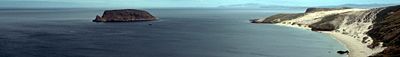
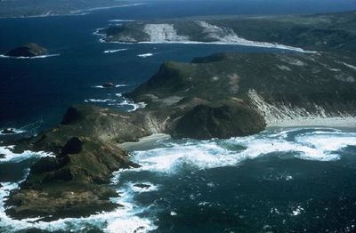
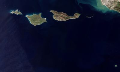
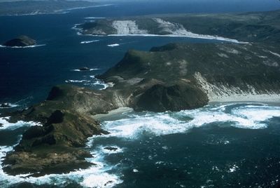
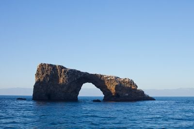
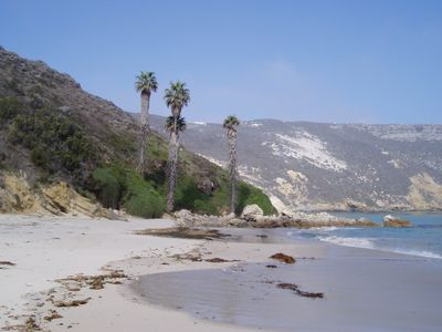
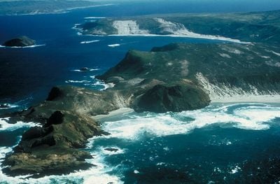
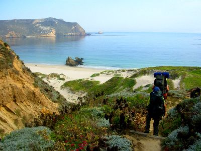
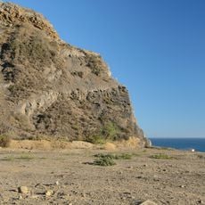
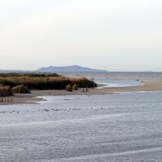
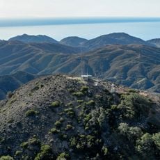
Channel Islands National Park is a group of five islands and a biosphere reserve off the coast of California in Santa Barbara County. Steep cliffs rise from the ocean, while sea caves cut through the coastlines and large kelp forests grow beneath the water.

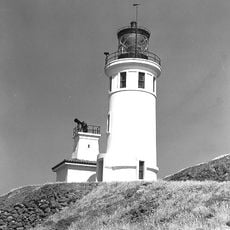
Chumash and Tongva tribes lived on these islands for over 13,000 years and left behind tools, burial sites, and traces of their villages. The area became a protected zone in the 20th century after decades of ranching and military use ended.

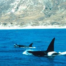
The isolated conditions of the islands allowed 145 plant and animal species to develop independently and exist only here. These species are found nowhere else on Earth and draw scientists from many countries.

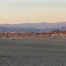
Boats depart from Ventura or Santa Barbara harbors and carry visitors to the islands, with early bookings required for camping spots and guided tours. Wind and waves can make crossings rough, so layered clothing and comfortable footwear are helpful.

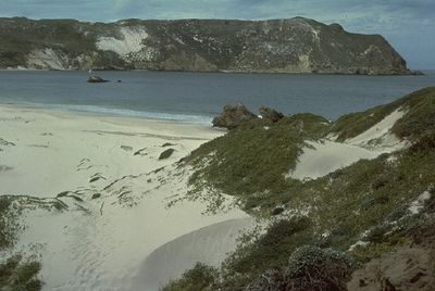
Rare Torrey pines grow on the slopes and are naturally found in only two places worldwide. The endemic island fox is smaller than a house cat and lives exclusively on these islands.

The community of curious travelers

AroundUs brings together thousands of curated places, local tips, and hidden gems, enriched daily by 60,000 contributors worldwide.

Start exploring
Inception
1980
Operator
National Park Service
GPS coordinates
33.66000,-119.64000
Latest update
December 12, 2025 18:14
Alternative destinations in California

California offers more than its well-traveled routes. Across the state, locations exist that few visitors reach, even though they show landscapes and histories found nowhere else. This collection includes natural areas, abandoned structures, and stretches of coast that lie beyond the usual travel...

Around this place
Point Mugu State Park
United States of America

Point Mugu State Park

75.8 km
Mullin Automotive Museum
United States of America

Mullin Automotive Museum

73 km
Channel Islands National Marine Sanctuary
United States of America

Channel Islands National Marine Sanctuary

80.6 km
Camarillo Ranch House
United States of America

Camarillo Ranch House

84.7 km
Henry Levy House
United States of America

Henry Levy House

73.4 km
SS Winfield Scott
United States of America

SS Winfield Scott

46.3 km
McGrath State Beach
United States of America

McGrath State Beach

72.1 km
Devils Peak
United States of America

Devils Peak

43.2 km
Mandalay State Beach
United States of America

Mandalay State Beach

70.1 km
Anacapa Island Light
United States of America

Anacapa Island Light

47.4 km
Oxnard State Beach
United States of America

Oxnard State Beach

68.9 km
Point Hueneme Light
United States of America

Point Hueneme Light

67 km
Henry T. Oxnard Historic District
United States of America

Henry T. Oxnard Historic District

73.3 km
Berylwood
United States of America

Berylwood

68.9 km
Carnegie Art Museum
United States of America

Carnegie Art Museum

73.4 km
Women's Improvement Club of Hueneme
United States of America

Women's Improvement Club of Hueneme

68.1 km
United States of America

CSU Channel Islands University Park

80.7 km
Hollywood Beach
United States of America

Hollywood Beach

67.7 km
Point Mugu Beach
United States of America

Point Mugu Beach

71.8 km
Silver Strand State Beach
United States of America

Silver Strand State Beach

67 km
Robert J. Lagomarsino Visitor Center
United States of America

Robert J. Lagomarsino Visitor Center

74 km
McGrath State Beach
United States of America

McGrath State Beach

71.6 km
United States of America

Cat Canyon

60.1 km
United States of America

Orchard Park

75.8 km
United States of America

Bolker Park

70.4 km
United States of America

Dos Caminos Park

86.2 km
United States of America

Smugglers Canyon

41.5 km
United States of America

Arlington Canyon

62.9 km
Show the full map
« Channel Islands National Park - National park and biosphere reserve in Santa Barbara County, United States » is provided by Around Us (aroundus.com). Images and texts are derived from Wikimedia project under a Creative Commons license. You are allowed to copy, distribute, and modify copies of this page, under the conditions set by the license, as long as this note is clearly visible.

Discover hidden gems everywhere you go!

From secret cafés to breathtaking viewpoints, skip the crowded tourist spots and find places that match your style. Our app makes it easy with voice search, smart filtering, route optimization, and insider tips from travelers worldwide. Download now for the complete mobile experience.

Around Us App Screenshot

A unique approach to discovering new places

Le Figaro

All the places worth exploring

France Info

A tailor-made excursion in just a few clicks

20 Minutes

Around Us
Travel Guide & Maps
Download

Send to your phone

QR Code
1

Open the camera app on your mobile.

2

Point at the QR code with your camera. A notification will appear.

3

Tap the notification to open the link.