Chest opened
+${chestReward.xp} XP
Explorer
NOUVEAU ×${chestReward.collectible.quantity}
tapez pour fermer

See the monuments around you in AR Open chests in the app

Around Us is built for your phone — point your camera at the streets and discover the monuments and places around you in augmented reality. Around Us is built for your phone — chests unlock when you walk, explore and capture nearby places.

Enable Location

We need your location to show you interesting places around you

Discover nearby places

Find interesting locations and hidden gems around you

Precise directions

Get accurate directions and distances to places

Your location is never shared with other users. It's only used when you tap the location button.

Santa Maria

Log in to your account

Start exploring — it's free

Trusted by 86,328 travelers worldwide

Continue with Google
Continue with Apple
or

We will send you a code to connect

By continuing, you accept our Terms and Conditions and our Privacy Policy

Check your inbox

We've sent a pincode in your inbox. Please enter the code below.

Discussion Reviews 3 Photos
138k Popularity

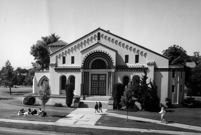
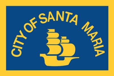
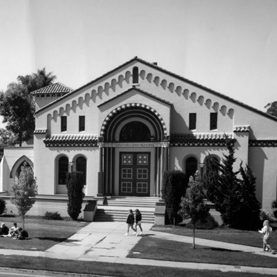
Santa Maria, Charter city in Santa Barbara County, California.

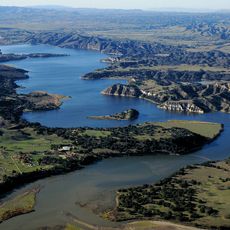
Santa Maria is a city in Santa Barbara County on California's central coast, situated on a gently sloping plain. The urban area features low buildings and wide streets that extend toward vineyards and farmland at its edges.

Spanish explorers arrived in the valley in 1769 and named the area after a local chapel. European settlement then began in the 19th century, while the local Chumash population gradually lost influence.

The name comes from a Spanish mission that shaped spiritual life in the valley during the colonial period. This connection appears today in the religious architecture and Spanish street names scattered throughout the city.

The city sits along US Route 101 and connects visitors easily to other locations on the California coast. The weather stays warm in summer and mild in winter, making visits comfortable throughout the year.

Nearby lies an airport that once operated as a military base and now handles civilian flights as well. The surrounding fields produce berries and vegetables that reach markets across the region.

The community of curious travelers

AroundUs brings together thousands of curated places, local tips, and hidden gems, enriched daily by 60,000 contributors worldwide.
Start exploring
Inception
1874
GPS coordinates
34.95139,-120.43333
Latest update
September 11, 2026 18:17
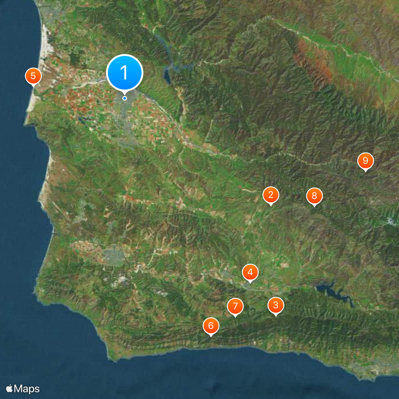
Around this place
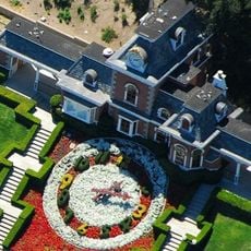
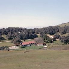
Neverland Ranch
United States of America

Neverland Ranch

24.2 mi
Rancho del Cielo
United States of America

Rancho del Cielo

35.5 mi
Mission Santa Inés
United States of America

Mission Santa Inés

29.9 mi
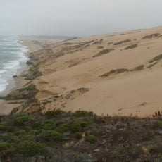
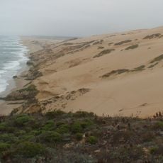
Guadalupe-Nipomo Dunes
United States of America

Guadalupe-Nipomo Dunes

12.4 mi
Gaviota State Park
United States of America

Gaviota State Park

33.9 mi
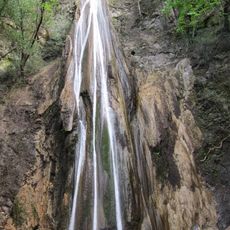
Nojoqui Falls
United States of America

Nojoqui Falls

32.8 mi
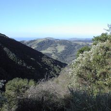
Figueroa Mountain
United States of America

Figueroa Mountain

29.2 mi
United States of America

San Rafael Wilderness

35.1 mi
Point Sal State Beach
United States of America

Point Sal State Beach

12.7 mi
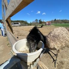
OstrichLand USA
United States of America

OstrichLand USA

27.9 mi
Guadalupe-Nipomo Dunes National Wildlife Refuge
United States of America

Guadalupe-Nipomo Dunes National Wildlife Refuge

10.9 mi
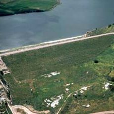
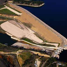
Twitchell Reservoir
United States of America

Twitchell Reservoir

6.5 mi
Lake Cachuma
United States of America

Lake Cachuma

36 mi
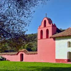
La Purisima Mission
United States of America

La Purisima Mission

19.4 mi
Solvang Vintage Motorcycle Museum
United States of America

Solvang Vintage Motorcycle Museum

29.7 mi
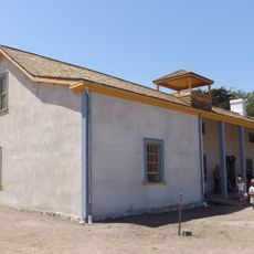
Dana Adobe
United States of America

Dana Adobe

5.7 mi
Bradbury Dam
United States of America

Bradbury Dam

36.2 mi
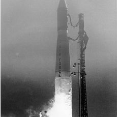
Vandenberg Space Force Base Space Launch Complex 10
United States of America

Vandenberg Space Force Base Space Launch Complex 10

16.9 mi
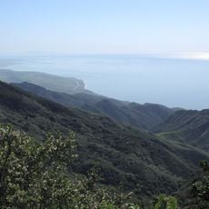
Gaviota Peak
United States of America

Gaviota Peak

33.8 mi
Los Alamos Ranch House
United States of America

Los Alamos Ranch House

15.1 mi
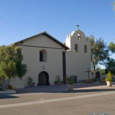
Chapel of San Ramon
United States of America

Chapel of San Ramon

13.1 mi
Gaviota Pass
United States of America

Gaviota Pass

34.1 mi
Elverhøj Museum of History and Art
United States of America

Elverhøj Museum of History and Art

29.8 mi
Solvang Park
United States of America

Solvang Park

29.7 mi
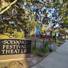
Solvang Festival Theater
United States of America

Solvang Festival Theater

29.8 mi
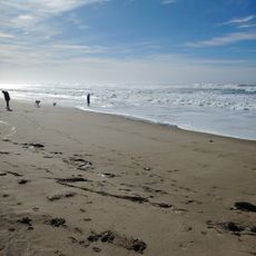
Minuteman Beach
United States of America

Minuteman Beach

12 mi
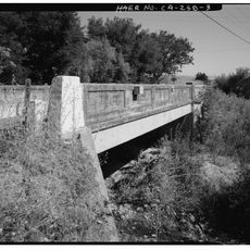
Zaca Creek Bridge No. 1
United States of America

Zaca Creek Bridge No. 1

24.9 mi
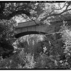
Zaca Creek Bridge No. 2
United States of America

Zaca Creek Bridge No. 2

25.3 mi
Show the full map
Reviews
Share your experience

No review yet

Discussions
Start a discussion...

No discussion yet

« Santa Maria - Charter city in Santa Barbara County, California » is provided by Around Us (aroundus.com). Images and texts are derived from Wikimedia project under a Creative Commons license. You are allowed to copy, distribute, and modify copies of this page, under the conditions set by the license, as long as this note is clearly visible.

Discover hidden gems everywhere you go!

From secret cafés to breathtaking viewpoints, skip the crowded tourist spots and find places that match your style. Our app makes it easy with voice search, smart filtering, route optimization, and insider tips from travelers worldwide. Download now for the complete mobile experience.
Around Us App Screenshot

A unique approach to discovering new places

Le Figaro

All the places worth exploring

France Info

A tailor-made excursion in just a few clicks

20 Minutes

Around Us
Travel Guide & Maps
Download

Send to your phone

QR Code
1

Open the camera app on your mobile.

2

Point at the QR code with your camera. A notification will appear.

3

Tap the notification to open the link.