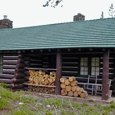
Cedar Breaks National Monument, Natural amphitheater and International Dark Sky Park in Iron County, United States
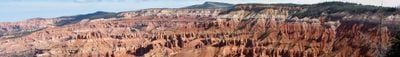
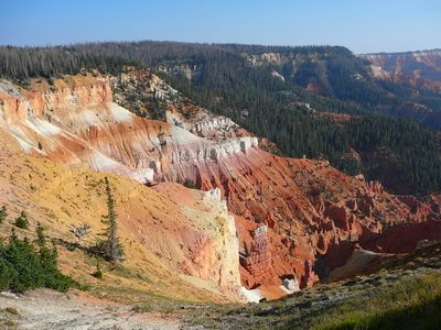
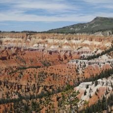
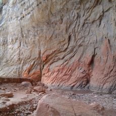
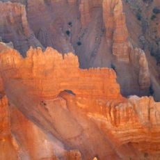
Cedar Breaks is a natural amphitheater carved into high plateaus, with steep walls of red and orange limestone that drop dramatically from the rim. The formation spans approximately 3 miles (5 kilometers) across and creates a bowl-like structure that displays bands of colored rock layers.
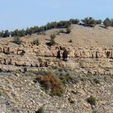
The site became protected under National Park Service management in 1933, recognizing its geological value for future generations. The rock formations visible today were shaped over millions of years by tectonic uplift and continuous erosion.
The Paiute peoples recognized this landscape as a sacred place and named it for its painted cliff formations created by mineral-rich rock layers. Visitors today walk among the same geological tapestry that inspired indigenous names and continues to draw people seeking natural beauty.
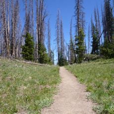
Heavy snowfall closes road access from October through May, making summer and early fall the best seasons for visiting. The high elevation means temperatures drop quickly, and weather can change without notice throughout the day.
The monument shelters ancient bristlecone pines that exceed 1,600 years in age, making them among Earth's oldest trees. During the brief summer months, alpine meadows burst into color with wildflowers before returning to dormancy.
The community of curious travelers
AroundUs brings together thousands of curated places, local tips, and hidden gems, enriched daily by 60,000 contributors worldwide.