
Moquitch Point, cliff in Coconino County, Arizona, United States of America
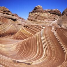
The Wave
49.7 km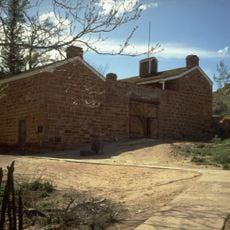
Pipe Spring National Monument
45.6 km
Wire Pass Trailhead
50.9 km
Kanab Creek Wilderness
23.2 km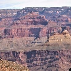
Holy Grail Temple
39.3 km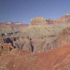
Widforss Trail
50.5 km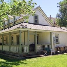
Big House
50.1 km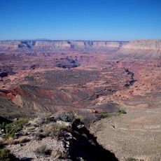
Kanab Creek Trail
38.1 km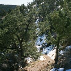
South Bass Trail
49.7 km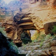
Royal Arch Route
50.1 km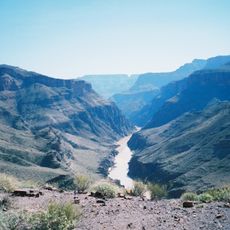
North Bass Trail
32.6 km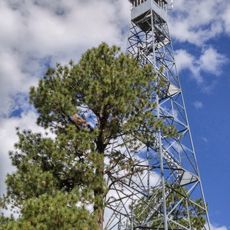
Jacob Lake Lookout Tower
12.5 km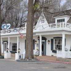
Parry Lodge
50.3 km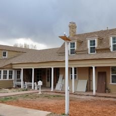
Kanab Lodge
50.3 km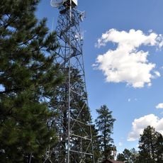
Big Springs Lookout Tower
4 km
Brow Monument and Brow Monument Trail
8 km
Masonic Temple
39.3 km
Tuna Canyon
48.2 km
Jacob Lake Ranger Station
12.1 km
Big Springs Ranger Station
3.7 km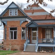
Rider-Pugh House
50.2 km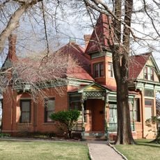
Bowman-Chamberlain House
50.1 km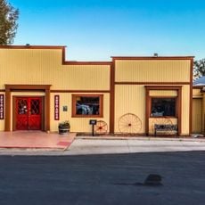
Chuckwagon Cookout
50.5 km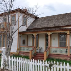
William Derby Johnson, Jr., House
50.2 km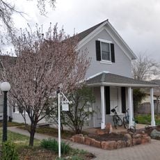
Stewart-Woolley House
50.6 km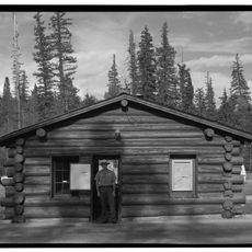
North Rim Entrance Station
37.4 km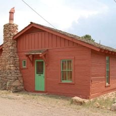
Cameron's Hotel
30.9 km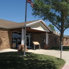
Pipe Spring National Monument Visitor Center
45.4 kmReviews
Visited this place? Tap the stars to rate it and share your experience / photos with the community! Try now! You can cancel it anytime.
Discover hidden gems everywhere you go!
From secret cafés to breathtaking viewpoints, skip the crowded tourist spots and find places that match your style. Our app makes it easy with voice search, smart filtering, route optimization, and insider tips from travelers worldwide. Download now for the complete mobile experience.

A unique approach to discovering new places❞
— Le Figaro
All the places worth exploring❞
— France Info
A tailor-made excursion in just a few clicks❞
— 20 Minutes