Chest opened
+${chestReward.xp} XP
Explorer
NOUVEAU ×${chestReward.collectible.quantity}
tapez pour fermer
Chest locked

Open chests in the app

Around Us is built for your phone — chests unlock when you walk, explore and capture nearby places.

Enable Location

We need your location to show you interesting places around you

Discover nearby places

Find interesting locations and hidden gems around you

Precise directions

Get accurate directions and distances to places

Your location is never shared with other users. It's only used when you tap the location button.

Yerington

Log in to your account

Start exploring — it's free

Trusted by 72,877 travelers worldwide

Continue with Google
Continue with Apple
or

We will send you a code to connect

By continuing, you accept our Terms and Conditions and our Privacy Policy

Check your inbox

We've sent a pincode in your inbox. Please enter the code below.

Discussion Reviews 1 Photos
26.7k Popularity

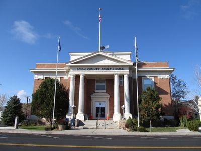
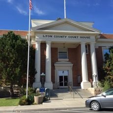
Yerington, Administrative center in Lyon County, Nevada

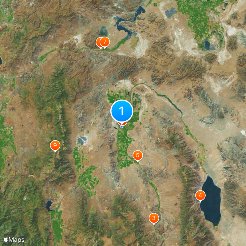
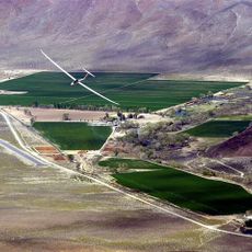
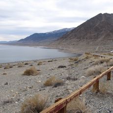
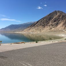
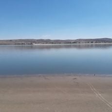
Yerington is a city in Lyon County in western Nevada situated in a valley at about 4,400 feet (1,340 meters) elevation, surrounded by mountains. The setting creates an open landscape with ranching lands spreading across the valley floor.

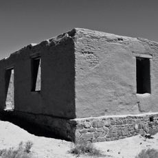
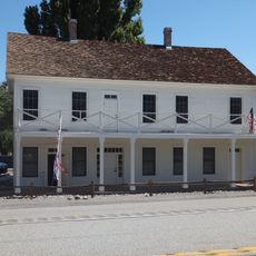
The settlement went through several name changes from Greenfield to Mason Valley and Pizen Switch before receiving its current name in 1871 to honor railroad superintendent Henry M. Yerington. This final renaming marked a shift toward permanent establishment and growth.

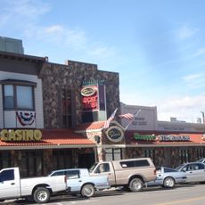
The community centers on farming and ranching traditions that shape local life and bring residents together through seasonal markets and events. These gatherings reflect how agriculture remains woven into daily routines and social connections.

The city sits at the intersection of US 95A and Nevada State Route 208, providing straightforward road access for visitors heading to the area. These main routes connect easily to Silver Springs and larger hubs across the region.

During World War II, a Japanese weather balloon bomb landed on a nearby ranch and went unrecognized by local ranchers, who later repurposed it as a hay covering. This unexpected discovery remained hidden until its true nature was finally revealed.

The community of curious travelers

AroundUs brings together thousands of curated places, local tips, and hidden gems, enriched daily by 60,000 contributors worldwide.

Start exploring
Location
Elevation above the sea
1,338 m
GPS coordinates
38.98528,-119.16528
Latest update
December 20, 2025 14:45
Around this place
Fort Churchill State Historic Park
United States of America

Fort Churchill State Historic Park

35.4 km
Flying-M Ranch
United States of America

Flying-M Ranch

44.8 km
Walker Lake State Recreation Area
United States of America

Walker Lake State Recreation Area

47.3 km
United States of America

Walker River State Recreation Area

16.5 km
Dini's Lucky Club
United States of America

Dini's Lucky Club

382 m
Buckland Station
United States of America

Buckland Station

35.2 km
Lyon County Courthouse
United States of America

Lyon County Courthouse

249 m
United States of America

Mount Siegel

31 km
United States of America

I.O.O.F. Building, Mason Valley

436 m
United States of America

Yerington Grammar School

567 m
United States of America

Rawe Peak

36.4 km
United States of America

Pony Express Monument

41 km
United States of America

Sixmile Beach

47.2 km
United States of America

Weber Reservoir

25.7 km
United States of America

Pony Express Monument

45.9 km
United States of America

Susans Bluff

38.6 km
Sportsmans Beach
United States of America

Sportsmans Beach

47.4 km
United States of America

Walker River State Recreation Area

19.9 km
Silver Springs Beach
United States of America

Silver Springs Beach

43.2 km
United States of America

Burbank Canyon

27.2 km
United States of America

Fort Churchill Historic State Monument

35.4 km
United States of America

Dayton Valley Golf Course

44.4 km
United States of America

Palmyra Town Site

35.2 km
United States of America

Palmyra Mining Camp

35.2 km
United States of America

Jeanne Dini Center

611 m
United States of America

Sportsmans Beach

47.4 km
United States of America

Silver Springs Beach

43.2 km
United States of America

Scenic viewpoint

34.5 km
Show the full map
Reviews
Share your experience

No review yet

Discussions
Start a discussion...

No discussion yet

« Yerington - Administrative center in Lyon County, Nevada » is provided by Around Us (aroundus.com). Images and texts are derived from Wikimedia project under a Creative Commons license. You are allowed to copy, distribute, and modify copies of this page, under the conditions set by the license, as long as this note is clearly visible.

Discover hidden gems everywhere you go!

From secret cafés to breathtaking viewpoints, skip the crowded tourist spots and find places that match your style. Our app makes it easy with voice search, smart filtering, route optimization, and insider tips from travelers worldwide. Download now for the complete mobile experience.

Around Us App Screenshot

A unique approach to discovering new places

Le Figaro

All the places worth exploring

France Info

A tailor-made excursion in just a few clicks

20 Minutes

Around Us
Travel Guide & Maps
Download

Send to your phone

QR Code
1

Open the camera app on your mobile.

2

Point at the QR code with your camera. A notification will appear.

3

Tap the notification to open the link.